arrondissement of Châteaubriant (arrondissement de Châteaubriant)

- former arrondissement of France
- Country:

- Capital: Châteaubriant
- Coordinates: 47° 35' 0" N, 1° 40' 0" E


- GPS tracks (wikiloc): [Link]
- Area: 2148 sq km
- Wikipedia en: wiki(en)
- Wikipedia: wiki(fr)
- Wikidata storage: Wikidata: Q700967
- Freebase ID: [/m/095bxf]
- GeoNames ID: Alt: [3026302]
- INSEE arrondissement code: [441]
- GNS Unique Feature ID: -1419044
Includes regions:
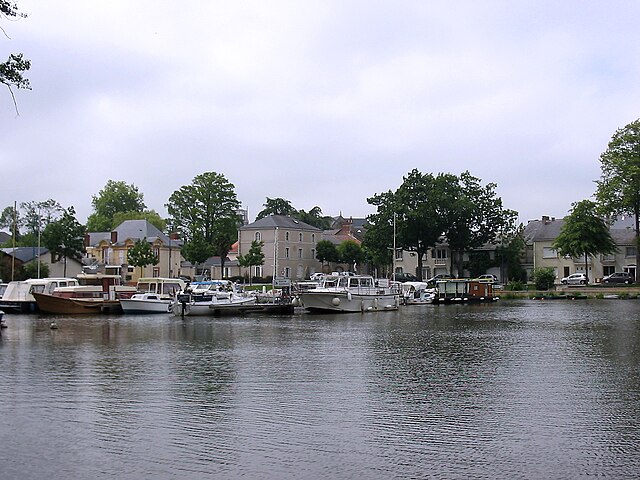

canton of Nort-sur-Erdre
- canton of France
- Country:
- Capital: Nort-sur-Erdre
- Coordinates: 47° 25' 13" N, 1° 29' 56" E
- GPS tracks (wikiloc): [Link]
- Population: 47641
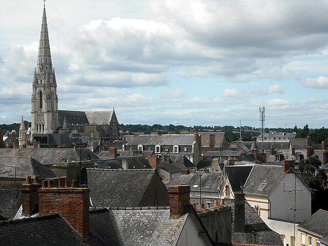

canton of Châteaubriant
- canton of France
- Country:
- Capital: Châteaubriant
- Coordinates: 47° 44' 1" N, 1° 24' 50" E
- GPS tracks (wikiloc): [Link]
- Population: 33524


canton of Blain
- canton of France
- Country:
- Capital: Blain
- Coordinates: 47° 26' 34" N, 1° 46' 16" E
- GPS tracks (wikiloc): [Link]
- Population: 52083


canton of Guémené-Penfao
- canton of France
- Country:
- Capital: Guémené-Penfao
- Coordinates: 47° 38' 34" N, 1° 46' 55" E
- GPS tracks (wikiloc): [Link]
- Population: 36011

canton of Moisdon-la-Rivière
- canton of France
- Country:
- Capital: Moisdon-la-Rivière
- Coordinates: 47° 36' 54" N, 1° 23' 47" E
- GPS tracks (wikiloc): [Link]


canton of Saint-Julien-de-Vouvantes
- canton of France
- Country:
- Capital: Saint-Julien-de-Vouvantes
- Coordinates: 47° 38' 34" N, 1° 14' 40" E
- GPS tracks (wikiloc): [Link]

canton of Saint-Nicolas-de-Redon
- canton of France (until March 2015)
- Country:
- Capital: Saint-Nicolas-de-Redon
- Coordinates: 47° 36' 25" N, 1° 59' 44" E
- GPS tracks (wikiloc): [Link]
