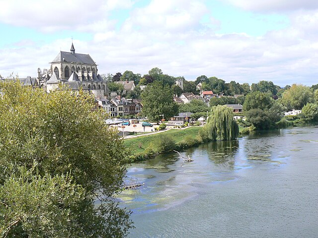
arrondissement of Les Andelys (arrondissement des Andelys)

- arrondissement of France in the Eure department of Haute-Normandie
- Country:

- Capital: Les Andelys
- Coordinates: 49° 15' 0" N, 1° 25' 0" E


- GPS tracks (wikiloc): [Link]
- Population: 235334
- Wikipedia en: wiki(en)
- Wikipedia: wiki(fr)
- Wikidata storage: Wikidata: Q701477
- Freebase ID: [/m/0954vr]
- GeoNames ID: Alt: [3037730]
- VIAF ID: Alt: [386144783033637622363]
- INSEE arrondissement code: [271]
Includes regions:

canton of Fleury-sur-Andelle
- canton of France (until March 2015)
- Country:
- Capital: Fleury-sur-Andelle
- Coordinates: 49° 21' 45" N, 1° 21' 17" E
- GPS tracks (wikiloc): [Link]


canton of Andelys
- canton of France
- Country:
- Capital: Les Andelys
- Coordinates: 49° 14' 27" N, 1° 24' 1" E
- GPS tracks (wikiloc): [Link]
- Population: 27554


canton of Gaillon
- canton of France
- Country:
- Capital: Gaillon
- Coordinates: 49° 9' 37" N, 1° 20' 8" E
- GPS tracks (wikiloc): [Link]
- Population: 29001


canton of Pont-de-l'Arche
- canton of France
- Country:
- Capital: Pont-de-l'Arche
- Coordinates: 49° 18' 12" N, 1° 8' 56" E
- GPS tracks (wikiloc): [Link]
- Population: 23218

canton of Val-de-Reuil
- canton of France
- Country:
- Capital: Val-de-Reuil
- Coordinates: 49° 16' 19" N, 1° 12' 47" E
- GPS tracks (wikiloc): [Link]
- Population: 21257


canton of Lyons-la-Forêt
- canton of France (until March 2015)
- Country:
- Capital: Lyons-la-Forêt
- Coordinates: 49° 23' 55" N, 1° 28' 36" E
- GPS tracks (wikiloc): [Link]


canton of Gisors
- canton of France
- Country:
- Capital: Gisors
- Coordinates: 49° 18' 40" N, 1° 42' 0" E
- GPS tracks (wikiloc): [Link]
- Population: 30650