arrondissement of Muret (arrondissement de Muret)

- arrondissement of France
- Country:

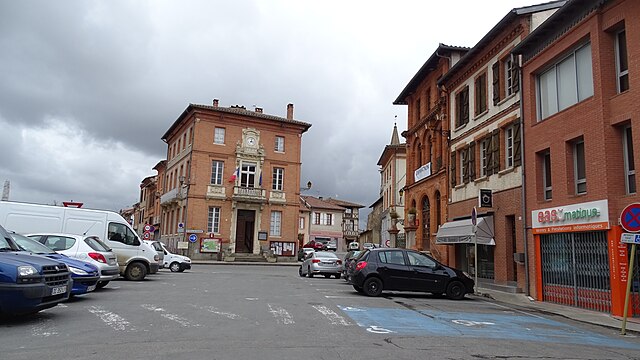
- Capital: Muret
- Coordinates: 43° 20' 0" N, 1° 15' 0" E


- GPS tracks (wikiloc): [Link]
- Area: 1639 sq km
- Population: 218871
- Wikipedia en: wiki(en)
- Wikipedia: wiki(fr)
- Wikidata storage: Wikidata: Q701851
- Freebase ID: [/m/095gsz]
- GeoNames ID: Alt: [2991152]
- INSEE arrondissement code: [311]
- GNS Unique Feature ID: -1454277
Includes regions:


canton of Muret
- canton of France
- Country:
- Capital: Muret
- Coordinates: 43° 27' 53" N, 1° 19' 45" E
- GPS tracks (wikiloc): [Link]
- Population: 53919


canton of Portet-sur-Garonne
- canton of France
- Country:
- Capital: Portet-sur-Garonne
- Coordinates: 43° 31' 32" N, 1° 24' 22" E
- GPS tracks (wikiloc): [Link]
- Population: 48394


canton of Auterive
- canton of France
- Country:
- Capital: Auterive
- Coordinates: 43° 21' 5" N, 1° 28' 18" E
- GPS tracks (wikiloc): [Link]
- Population: 51860


canton of Cintegabelle
- canton of France
- Country:
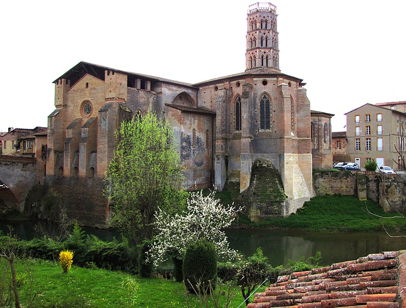
- Capital: Cintegabelle
- Coordinates: 43° 18' 49" N, 1° 31' 58" E
- GPS tracks (wikiloc): [Link]

canton of Montesquieu-Volvestre
- canton of France
- Country:
- Capital: Montesquieu-Volvestre
- Coordinates: 43° 12' 27" N, 1° 13' 51" E
- GPS tracks (wikiloc): [Link]
canton of Rieux-Volvestre
- canton of France
- Country:
- Capital: Rieux-Volvestre
- Coordinates: 43° 15' 27" N, 1° 12' 5" E
- GPS tracks (wikiloc): [Link]


canton of Cazères
- canton of France
- Country:
- Capital: Cazères
- Coordinates: 43° 12' 17" N, 1° 5' 4" E
- GPS tracks (wikiloc): [Link]
- Population: 43349

canton of Le Fousseret
- canton of France (until March 2015)
- Country:
- Capital: Le Fousseret
- Coordinates: 43° 16' 52" N, 1° 3' 57" E
- GPS tracks (wikiloc): [Link]