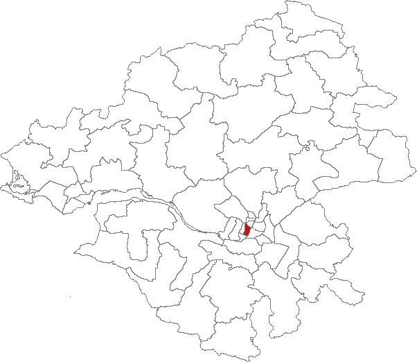
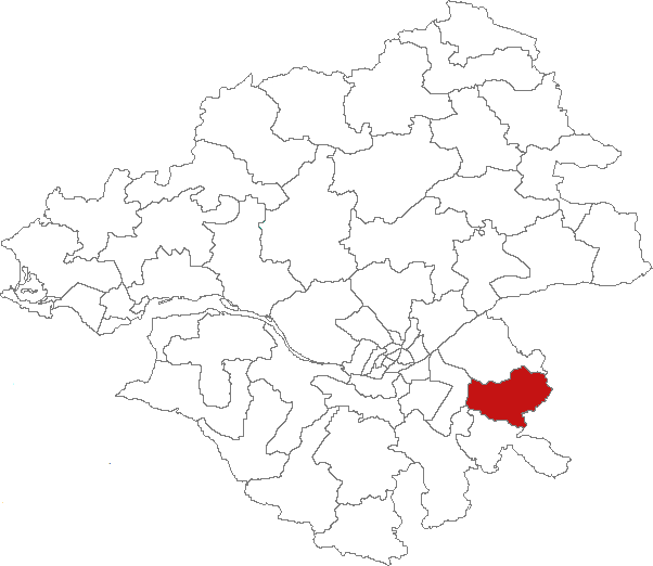
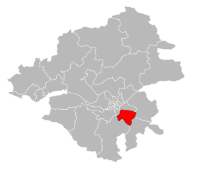
arrondissement of Nantes (arrondissement de Nantes)

- arrondissement of France
- Country:

- Capital: Nantes
- Coordinates: 47° 10' 0" N, 1° 35' 0" E


- GPS tracks (wikiloc): [Link]
- Area: 2118 sq km
- Population: 819808
- Wikipedia en: wiki(en)
- Wikipedia: wiki(fr)
- Wikidata storage: Wikidata: Q596603
- Freebase ID: [/m/095byl]
- GeoNames ID: Alt: [2990968]
- Library of Congress authority ID: Alt: [n50045845]
- INSEE arrondissement code: [442]
Includes regions:

canton of Nantes-4
- canton of France
- Country:
- Capital: Nantes
- Coordinates: 47° 13' 9" N, 1° 33' 6" E
- GPS tracks (wikiloc): [Link]
- Population: 38605


canton of Carquefou
- canton of France
- Country:
- Capital: Carquefou
- Coordinates: 47° 16' 42" N, 1° 27' 8" E
- GPS tracks (wikiloc): [Link]
- Population: 47251

canton of Nantes-5
- canton of France
- Country:
- Capital: Nantes
- Coordinates: 47° 13' 9" N, 1° 33' 6" E
- GPS tracks (wikiloc): [Link]
- Population: 40316
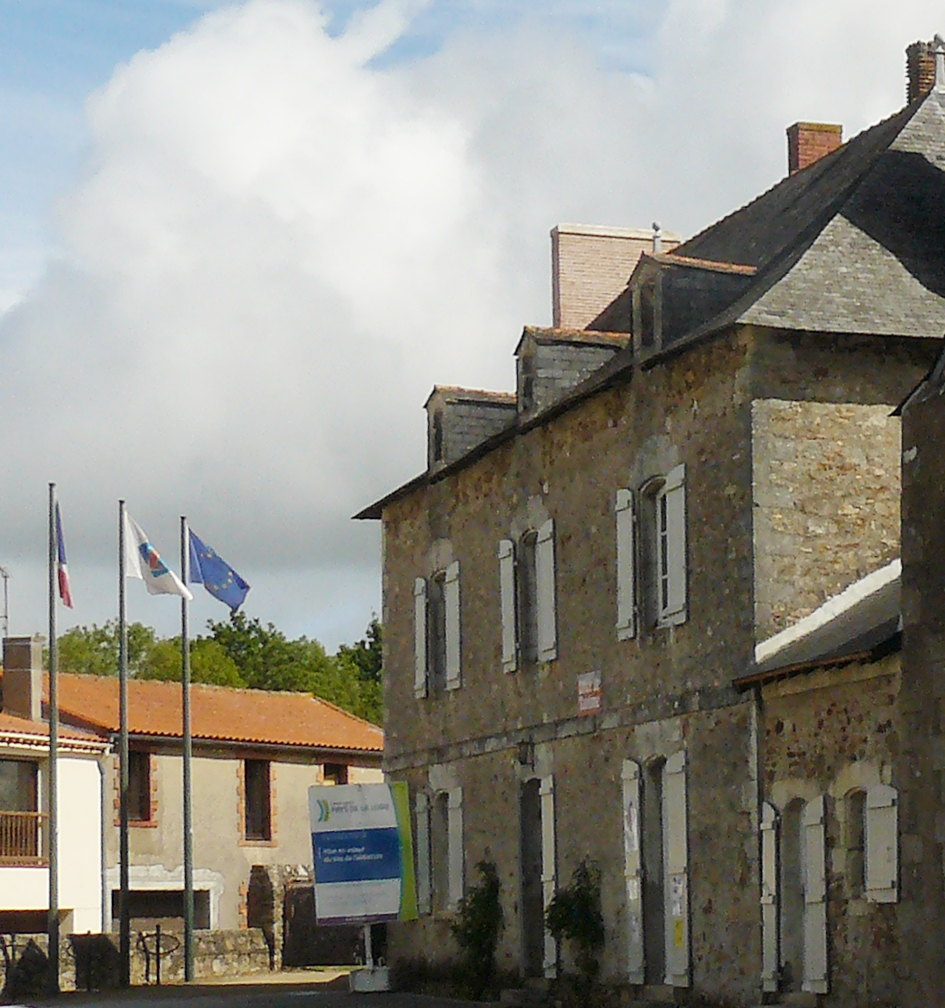
canton of Aigrefeuille-sur-Maine
- canton of France
- Country:
- Capital: Aigrefeuille-sur-Maine
- Coordinates: 47° 3' 16" N, 1° 26' 21" E
- GPS tracks (wikiloc): [Link]


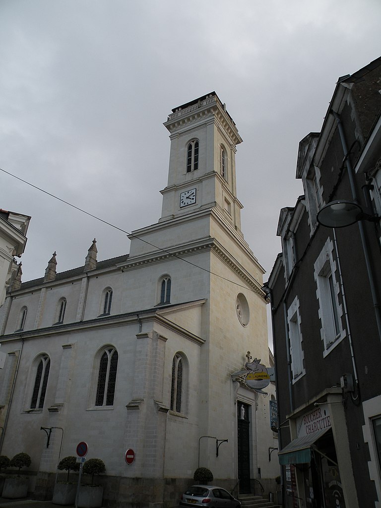
canton of Clisson
- canton of France
- Country:
- Capital: Clisson
- Coordinates: 47° 5' 4" N, 1° 17' 18" E
- GPS tracks (wikiloc): [Link]
- Population: 39061


canton of La Chapelle-sur-Erdre
- canton of France
- Country:
- Capital: La Chapelle-sur-Erdre
- Coordinates: 47° 20' 9" N, 1° 34' 38" E
- GPS tracks (wikiloc): [Link]
- Population: 49851


canton of Nantes-7
- canton of France
- Country:
- Capital: Nantes
- Coordinates: 47° 13' 9" N, 1° 33' 6" E
- GPS tracks (wikiloc): [Link]
- Population: 46099


canton of Saint-Herblain-Ouest-Indre
- canton of France
- Country:
- Capital: Saint-Herblain
- Coordinates: 47° 12' 21" N, 1° 39' 35" E
- GPS tracks (wikiloc): [Link]

canton of Saint-Philbert-de-Grand-Lieu
- canton of France
- Country:
- Capital: Saint-Philbert-de-Grand-Lieu
- Coordinates: 47° 2' 14" N, 1° 37' 49" E
- GPS tracks (wikiloc): [Link]
- Population: 47136

canton of Saint-Étienne-de-Montluc
- canton of France
- Country:
- Capital: Saint-Étienne-de-Montluc
- Coordinates: 47° 17' 17" N, 1° 46' 52" E
- GPS tracks (wikiloc): [Link]

canton of Vallet
- canton of France
- Country:
- Capital: Vallet
- Coordinates: 47° 9' 38" N, 1° 16' 45" E
- GPS tracks (wikiloc): [Link]
- Area: 276.17 sq km
- Population: 46498

canton of Vertou
- canton of France
- Country:
- Capital: Vertou
- Coordinates: 47° 9' 29" N, 1° 29' 57" E
- GPS tracks (wikiloc): [Link]
- Population: 39897
canton of Vertou-Vignoble
- canton of France
- Country:
- Capital: Basse-Goulaine
- Coordinates: 47° 10' 6" N, 1° 25' 29" E
- GPS tracks (wikiloc): [Link]


canton of Machecoul
- canton of France
- Country:
- Capital: Machecoul
- Coordinates: 47° 0' 13" N, 1° 45' 49" E
- GPS tracks (wikiloc): [Link]
- Area: 486.29 sq km
- Population: 39687
canton of Saint-Herblain-Est
- canton of France (until March 2015)
- Country:
- Capital: Saint-Herblain
- Coordinates: 47° 12' 48" N, 1° 38' 55" E
- GPS tracks (wikiloc): [Link]

canton of Nantes-6
- canton of France
- Country:
- Capital: Nantes
- Coordinates: 47° 13' 9" N, 1° 33' 6" E
- GPS tracks (wikiloc): [Link]
- Population: 44686

canton of Nantes-3
- canton of France
- Country:
- Capital: Nantes
- Coordinates: 47° 13' 9" N, 1° 33' 6" E
- GPS tracks (wikiloc): [Link]
- Population: 50402


canton of Le Pellerin
- canton of France (until March 2015)
- Country:
- Capital: Le Pellerin
- Coordinates: 47° 10' 21" N, 1° 47' 4" E
- GPS tracks (wikiloc): [Link]

canton of Le Loroux-Bottereau
- canton of France (until March 2015)
- Country:
- Capital: Le Loroux-Bottereau
- Coordinates: 47° 13' 59" N, 1° 15' 14" E
- GPS tracks (wikiloc): [Link]

canton of Nantes-2
- canton of France
- Country:
- Capital: Nantes
- Coordinates: 47° 13' 9" N, 1° 33' 6" E
- GPS tracks (wikiloc): [Link]
- Population: 39921