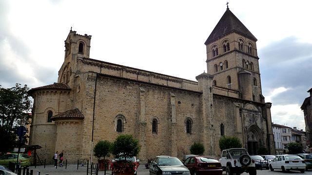
arrondissement of Saint-Gaudens (arrondissement de Saint-Gaudens)
- arrondissement of France
- Country:

- Capital: Saint-Gaudens
- Coordinates: 43° 5' 0" N, 0° 40' 0" E


- GPS tracks (wikiloc): [Link]
- Area: 2140 sq km
- Population: 77468
- Wikipedia en: wiki(en)
- Wikipedia: wiki(fr)
- Wikidata storage: Wikidata: Q702334
- Freebase ID: [/m/095gv1]
- GeoNames ID: Alt: [2980043]
- OSM relation ID: [1649039]
- INSEE arrondissement code: [312]
- GNS Unique Feature ID: -1465420
Includes regions:

canton of L'Isle-en-Dodon
- canton of France (until March 2015)
- Country:

- Capital: L'Isle-en-Dodon
- Coordinates: 43° 22' 52" N, 0° 50' 7" E


- GPS tracks (wikiloc): [Link]

canton of Salies-du-Salat
- canton of France (until March 2015)
- Country:

- Capital: Salies-du-Salat
- Coordinates: 43° 6' 0" N, 0° 57' 33" E


- GPS tracks (wikiloc): [Link]
- Area: 187.6 sq km
- Population: 8534

canton of Montréjeau
- canton of France
- Country:

- Capital: Montréjeau
- Coordinates: 43° 5' 7" N, 0° 34' 11" E


- GPS tracks (wikiloc): [Link]


canton of Saint-Gaudens
- canton of France
- Country:

- Capital: Saint-Gaudens
- Coordinates: 43° 6' 23" N, 0° 43' 23" E


- GPS tracks (wikiloc): [Link]
- Population: 35169

canton of Saint-Martory
- canton of France
- Country:

- Capital: Saint-Martory
- Coordinates: 43° 8' 18" N, 0° 55' 54" E


- GPS tracks (wikiloc): [Link]

canton of Bagnères-de-Luchon
- canton of France
- Country:

- Capital: Bagnères-de-Luchon
- Coordinates: 42° 47' 23" N, 0° 35' 35" E


- GPS tracks (wikiloc): [Link]
- Population: 33352

canton of Boulogne-sur-Gesse
- canton of France (until March 2015)
- Country:

- Capital: Boulogne-sur-Gesse
- Coordinates: 43° 17' 23" N, 0° 38' 47" E


- GPS tracks (wikiloc): [Link]

canton of Saint-Béat
- canton of France (until March 2015)
- Country:

- Capital: Saint-Béat
- Coordinates: 42° 54' 50" N, 0° 41' 34" E


- GPS tracks (wikiloc): [Link]


