Azelot (Azelot)

- commune in Meurthe-et-Moselle, France
- Country:

- Postal Code: 54210
- Coordinates: 48° 35' 21" N, 6° 14' 1" E


- GPS tracks (wikiloc): [Link]
- Area: 4.75 sq km
- Population: 424
- Web site: http://www.azelot.fr
- Wikipedia en: wiki(en)
- Wikipedia: wiki(fr)
- Wikidata storage: Wikidata: Q1000779
- Wikipedia Commons Category: [Link]
- Freebase ID: [/m/03hlf5b]
- Freebase ID: [/m/03hlf5b]
- GeoNames ID: Alt: [6449704]
- GeoNames ID: Alt: [6449704]
- SIREN number: [215400375]
- SIREN number: [215400375]
- BnF ID: [15264106r]
- BnF ID: [15264106r]
- INSEE municipality code: 54037
- INSEE municipality code: 54037
Shares border with regions:
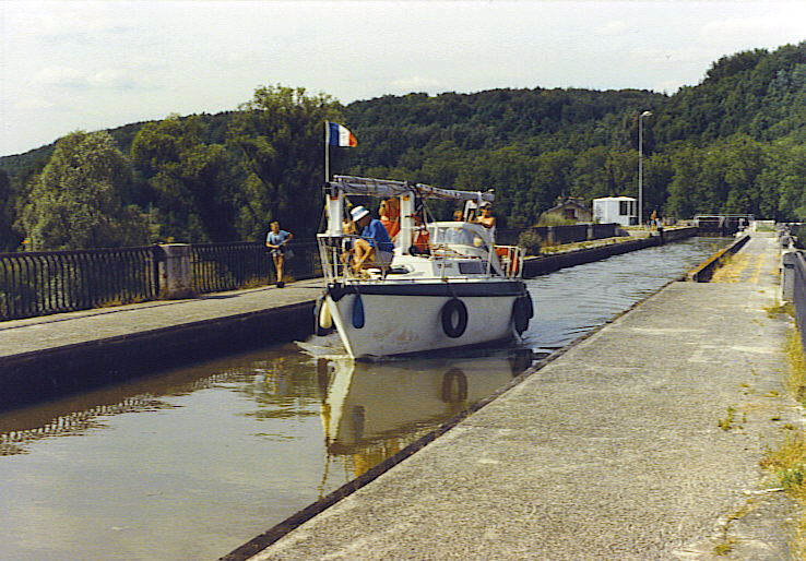
Flavigny-sur-Moselle
- commune in Meurthe-et-Moselle, France
- Country:
- Postal Code: 54630
- Coordinates: 48° 34' 9" N, 6° 11' 16" E
- GPS tracks (wikiloc): [Link]
- Area: 17.3 sq km
- Population: 1725
- Web site: [Link]

Ville-en-Vermois
- commune in Meurthe-et-Moselle, France
- Country:
- Postal Code: 54210
- Coordinates: 48° 36' 51" N, 6° 15' 15" E
- GPS tracks (wikiloc): [Link]
- Area: 10.53 sq km
- Population: 603
- Web site: [Link]


Lupcourt
- commune in Meurthe-et-Moselle, France
- Country:
- Postal Code: 54210
- Coordinates: 48° 36' 41" N, 6° 14' 7" E
- GPS tracks (wikiloc): [Link]
- Area: 6.94 sq km
- Population: 450

Burthecourt-aux-Chênes
- commune in Meurthe-et-Moselle, France
- Country:
- Postal Code: 54210
- Coordinates: 48° 35' 6" N, 6° 14' 58" E
- GPS tracks (wikiloc): [Link]
- Area: 5.59 sq km
- Population: 104