Munchhouse (Munchhouse)
- commune in Haut-Rhin, France
Munchhouse is a quaint and lesser-known destination for hiking enthusiasts, nestled in the natural beauty of the surrounding landscapes. While it may not be as popular as other hiking areas, it offers a unique experience for those willing to explore its trails. Here are some key points to consider when hiking in Munchhouse:
Trail Features:
-
Scenic Trails: The area boasts a variety of trails, ranging from easy walks to more challenging hikes that cater to different skill levels. The trails typically offer beautiful views of the countryside, local flora, and fauna.
-
Natural Surroundings: The region is known for its lush greenery, rolling hills, and picturesque scenery. You may encounter diverse wildlife, making it a great area for nature lovers and bird watchers.
-
Seasonal Beauty: Each season brings its own charm, with vibrant wildflowers in the spring, lush greenery in the summer, stunning autumn colors, and serene winter landscapes.
Hiking Tips:
-
Check Trail Maps: Before starting your hike, make sure to grab a trail map or download one to your phone. Familiarize yourself with the trail system, as some paths may lead to more remote areas.
-
Preparation: Dress in layers and wear appropriate footwear, especially if you plan to hike on rugged terrain. Carry enough water and snacks, especially during warmer months.
-
Leave No Trace: Follow the Leave No Trace principles to preserve the natural beauty of the area. Stay on designated paths, pack out what you bring, and respect wildlife.
-
Weather Awareness: Be mindful of the weather conditions before setting out. It’s always a good idea to check the forecast and be prepared for sudden changes.
-
Inform Someone: Let someone know your hiking plans, especially if you plan to explore less trafficked trails.
Local Attractions:
- Besides hiking, Munchhouse may offer other attractions such as local cafés, markets, and community events that you can explore to enhance your visit.
Conclusion:
Hiking in Munchhouse can be a rewarding experience for those looking for tranquility and a chance to connect with nature. As with any hiking trip, preparation and respect for the environment are key to ensuring a safe and enjoyable outing. Always check for local guidelines and trail conditions before heading out!
- Country:

- Postal Code: 68740
- Coordinates: 47° 52' 6" N, 7° 27' 3" E


- GPS tracks (wikiloc): [Link]
- Area: 24.05 sq km
- Population: 1574
- Wikipedia en: wiki(en)
- Wikipedia: wiki(fr)
- Wikidata storage: Wikidata: Q149297
- Wikipedia Commons Category: [Link]
- Freebase ID: [/m/03m4k4c]
- Freebase ID: [/m/03m4k4c]
- GeoNames ID: Alt: [6454564]
- GeoNames ID: Alt: [6454564]
- SIREN number: [216802256]
- SIREN number: [216802256]
- BnF ID: [15271927d]
- BnF ID: [15271927d]
- INSEE municipality code: 68225
- INSEE municipality code: 68225
Shares border with regions:

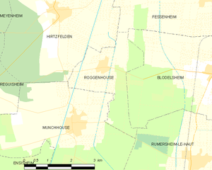
Roggenhouse
- commune in Haut-Rhin, France
Roggenhouse, a picturesque location, offers a variety of hiking opportunities amidst beautiful landscapes. Although specific trails and conditions can vary, here are some general insights and tips for hiking in this area:...
- Country:

- Postal Code: 68740
- Coordinates: 47° 53' 23" N, 7° 28' 15" E


- GPS tracks (wikiloc): [Link]
- Area: 6.45 sq km
- Population: 469

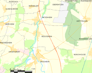
Réguisheim
- commune in Haut-Rhin, France
- Country:

- Postal Code: 68890
- Coordinates: 47° 53' 50" N, 7° 21' 21" E


- GPS tracks (wikiloc): [Link]
- Area: 23.87 sq km
- Population: 1851
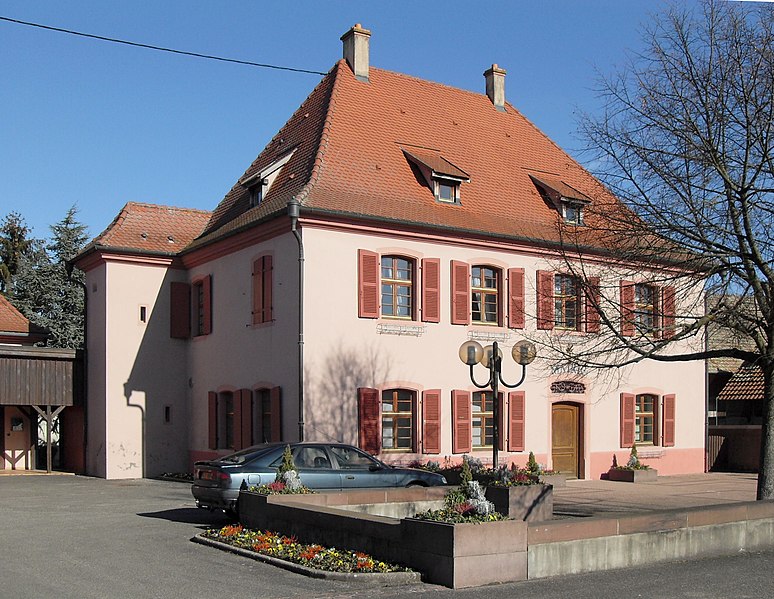

Rumersheim-le-Haut
- commune in Haut-Rhin, France
Rumersheim-le-Haut is a small commune located in the Grand Est region of northeastern France, specifically in the Bas-Rhin department. While it may not be a widely known hiking destination, the surrounding areas offer some lovely trails and beautiful landscapes typical of the Alsatian countryside....
- Country:

- Postal Code: 68740
- Coordinates: 47° 51' 7" N, 7° 31' 19" E


- GPS tracks (wikiloc): [Link]
- Area: 16.67 sq km
- Population: 1095

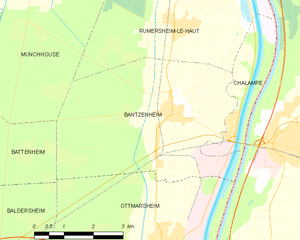
Bantzenheim
- commune in Haut-Rhin, France
Bantzenheim is a small commune in the Alsace region of France, known for its charming countryside and scenic landscapes. While it may not be as widely recognized as some larger hiking destinations, there are still opportunities for enjoyable hikes in and around Bantzenheim. Here are some aspects to consider for hiking in this area:...
- Country:

- Postal Code: 68490
- Coordinates: 47° 49' 29" N, 7° 30' 56" E


- GPS tracks (wikiloc): [Link]
- Area: 21.22 sq km
- Population: 1637
- Web site: [Link]


Battenheim
- commune in Haut-Rhin, France
Battenheim, located in the Alsace region of France, offers a variety of scenic landscapes and hiking opportunities for outdoor enthusiasts. Its proximity to the Vosges Mountains and the Rhine River makes it an attractive destination for nature lovers. Here are some key points about hiking in the Battenheim area:...
- Country:

- Postal Code: 68390
- Coordinates: 47° 49' 11" N, 7° 22' 54" E


- GPS tracks (wikiloc): [Link]
- Area: 16.88 sq km
- Population: 1508

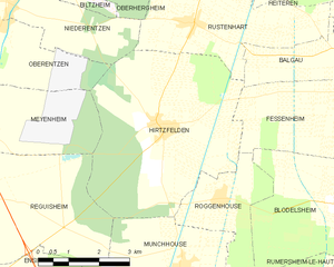
Hirtzfelden
- commune in Haut-Rhin, France
- Country:

- Postal Code: 68740
- Coordinates: 47° 54' 42" N, 7° 26' 43" E


- GPS tracks (wikiloc): [Link]
- Area: 22.1 sq km
- Population: 1217


Ensisheim
- commune in Haut-Rhin, France
- Country:

- Postal Code: 68190
- Coordinates: 47° 51' 56" N, 7° 21' 9" E


- GPS tracks (wikiloc): [Link]
- Area: 36.59 sq km
- Population: 7423
- Web site: [Link]

