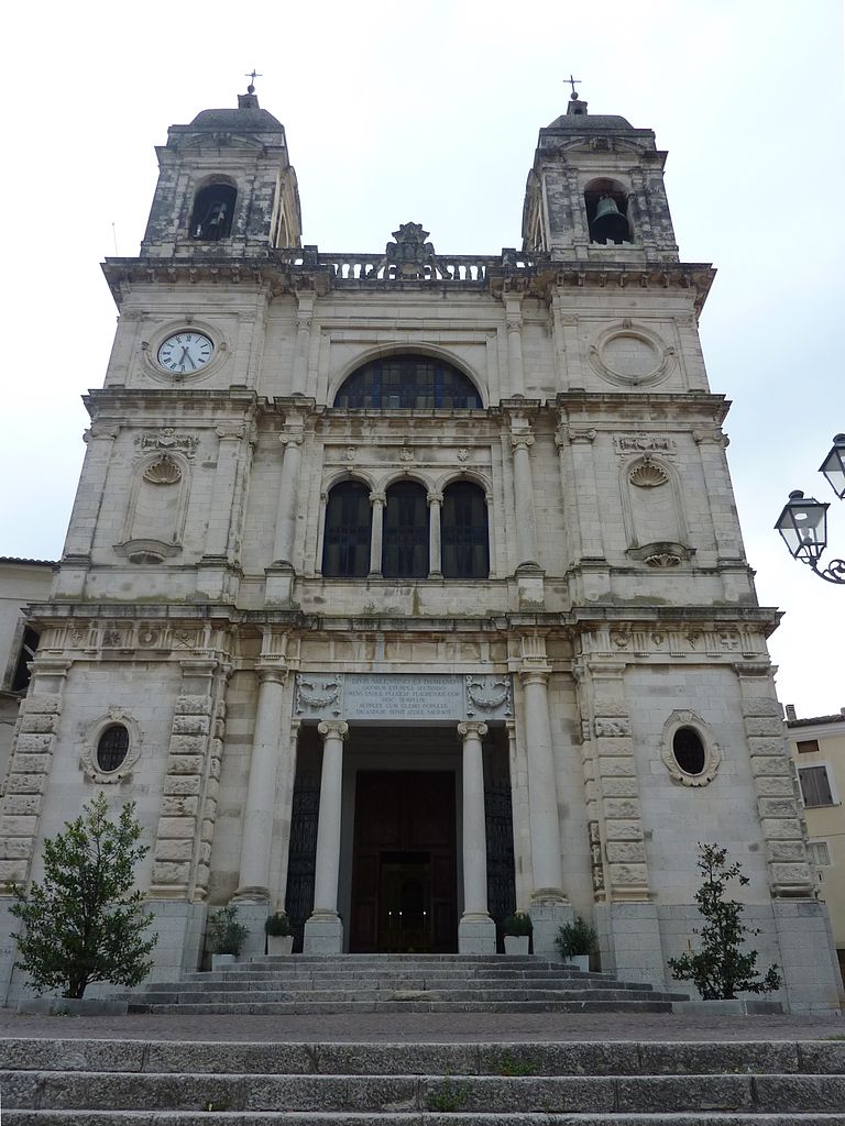
Bolognano (Bolognano)
.svg)
- Italian municipality
 Hiking in Bolognano
Bolognano, a charming village in the Abruzzo region of Italy, is an excellent destination for hiking enthusiasts. Nestled in the foothills of the Apennines, it offers stunning landscapes, rich biodiversity, and a variety of trails suitable for different skill levels.
Hiking Trails
-
Sentiero della Libertà: This trail is significant for its historical context, connecting various sites linked to the Italian Resistance during World War II. It's a moderate hike, taking you through beautiful forests and offering panoramic views of the surrounding valleys.
-
Parks and Natural Reserves: The nearby Gran Sasso e Monti della Laga National Park provides a wealth of hiking opportunities. You can explore rugged mountains, scenic meadows, and clear rivers. Trails range from easy walks to challenging hikes, catering to all experience levels.
-
Local Routes: There are several local trails around Bolognano that meander through vineyards, olive groves, and pastoral landscapes. These are usually less crowded and provide a more tranquil hiking experience.
Best Times to Hike
- Spring (March to June): This is one of the best times to hike in the region, as the weather is mild, wildflowers bloom, and the natural scenery is at its most vibrant.
- Fall (September to November): Another fantastic time for hiking, with cooler temperatures and beautiful autumn foliage.
What to Bring
- Footwear: A good pair of waterproof hiking boots for uneven terrains.
- Clothing: Layered clothing appropriate for changing weather conditions. It can be warm during the day but cool in the mornings and evenings.
- Water and Snacks: Always carry sufficient water and energy snacks to keep you fueled during your trek.
- Navigation Tools: A map or GPS device is advisable, especially on less-marked trails.
Local Culture and Sightseeing
While hiking, take the time to explore Bolognano itself, known for its quaint architecture and friendly locals. You might also enjoy sampling local cuisine, which features fresh ingredients from the region. Additionally, visit nearby attractions like the historic town of Sulmona or the beautiful lakes and highlands of the national park.
Overall, hiking in Bolognano combines outdoor adventure with the charm of Italian culture, making it a rewarding experience for nature lovers and history buffs alike.
- Country:

- Postal Code: 65020
- Local Dialing Code: 085
- Licence Plate Code: PE
- Coordinates: 42° 13' 0" N, 13° 58' 0" E


- GPS tracks (wikiloc): [Link]
- AboveSeaLevel: 276 м m
- Area: 16.96 sq km
- Population: 1095
- Web site: http://www.comunebolognano.it
- Wikipedia en: wiki(en)
- Wikipedia: wiki(it)
- Wikidata storage: Wikidata: Q50839
- Wikipedia Commons Gallery: [Link]
- Wikipedia Commons Category: [Link]
- Freebase ID: [/m/0fg8cg]
- GeoNames ID: Alt: [6538861]
- VIAF ID: Alt: [146945696]
- OSM relation ID: [41847]
- Library of Congress authority ID: Alt: [no2006036755]
- UN/LOCODE: [ITPE2]
- ISTAT ID: 068003
- Italian cadastre code: A945
Shares border with regions:


Caramanico Terme
- Italian comune
Hiking in Caramanico Terme
Caramanico Terme is a charming village located in the Abruzzo region of Italy, renowned for its thermal springs and stunning natural beauty. It’s nestled in the Majella National Park, making it an excellent destination for hiking enthusiasts. Here are some key points about hiking in the area:...
- Country:
- Postal Code: 65023
- Local Dialing Code: 085
- Licence Plate Code: PE
- Coordinates: 42° 9' 0" N, 14° 1' 0" E
- GPS tracks (wikiloc): [Link]
- AboveSeaLevel: 650 м m
- Area: 84.99 sq km
- Population: 1872
- Web site: [Link]


Castiglione a Casauria
- Italian comune
Hiking in Castiglione a Casauria
Castiglione a Casauria is a picturesque village located in the Abruzzo region of Italy, nestled in the foothills of the Apennines. The area is known for its stunning natural landscapes, historical sites, and outdoor activities, making it a great destination for hiking enthusiasts....
- Country:
- Postal Code: 65020
- Local Dialing Code: 085
- Licence Plate Code: PE
- Coordinates: 42° 14' 13" N, 13° 53' 54" E
- GPS tracks (wikiloc): [Link]
- AboveSeaLevel: 350 м m
- Area: 16.57 sq km
- Population: 802
- Web site: [Link]


Salle, Abruzzo
- Italian comune
Hiking in Salle, Abruzzo
Salle, a charming village in the Abruzzo region of Italy, is surrounded by the stunning natural landscapes of the Majella National Park and the Gran Sasso and Monti della Laga National Park. This area offers a variety of hiking opportunities for all skill levels, featuring breathtaking views, rich biodiversity, and historical sites....
- Country:
- Postal Code: 65020
- Local Dialing Code: 085
- Licence Plate Code: PE
- Coordinates: 42° 10' 37" N, 13° 57' 35" E
- GPS tracks (wikiloc): [Link]
- AboveSeaLevel: 450 м m
- Area: 21.8 sq km
- Population: 291
- Web site: [Link]

San Valentino in Abruzzo Citeriore
- Italian comune
Hiking in San Valentino in Abruzzo Citeriore
San Valentino in Abruzzo Citeriore is a charming village located in the Abruzzo region of Italy, surrounded by picturesque landscapes and a variety of hiking opportunities. The area is known for its natural beauty, characterized by rolling hills, lush forests, and stunning views of the Gran Sasso and Majella mountains....
- Country:
- Postal Code: 65020
- Local Dialing Code: 085
- Licence Plate Code: PE
- Coordinates: 42° 14' 0" N, 13° 59' 0" E
- GPS tracks (wikiloc): [Link]
- AboveSeaLevel: 450 м m
- Area: 16.4 sq km
- Population: 1911
- Web site: [Link]
Scafa
- Italian comune
Hiking in Scafa
Scafa, located in the Abruzzo region of Italy, is a charming destination for hiking enthusiasts. Nestled near the foothills of the Apennine Mountains, it offers access to a variety of natural landscapes, from rolling hills to more rugged terrain....
- Country:
- Postal Code: 65027
- Local Dialing Code: 085
- Licence Plate Code: PE
- Coordinates: 42° 15' 57" N, 13° 59' 48" E
- GPS tracks (wikiloc): [Link]
- AboveSeaLevel: 108 м m
- Area: 10.34 sq km
- Population: 3656
- Web site: [Link]


Tocco da Casauria
- Italian comune
Hiking in Tocco da Casauria
Tocco da Casauria is a charming village located in the Abruzzo region of Italy, nestled in the foothills of the Majella mountain range. This area is known for its stunning landscapes, rich history, and outdoor activities, including hiking. Here are some details about hiking in and around Tocco da Casauria:...
- Country:
- Postal Code: 65028
- Local Dialing Code: 085
- Licence Plate Code: PE
- Coordinates: 42° 13' 0" N, 13° 55' 0" E
- GPS tracks (wikiloc): [Link]
- AboveSeaLevel: 356 м m
- Area: 29.67 sq km
- Population: 2640
- Web site: [Link]


Torre de' Passeri
- Italian comune
Hiking in Torre de' Passeri
Torre de' Passeri is a picturesque town located in the Abruzzo region of Italy, nestled within the beautiful Apennine Mountains. Hiking in and around Torre de' Passeri offers a mix of scenic landscapes, cultural experiences, and opportunities to explore the natural beauty of the region....
- Country:
- Postal Code: 65029
- Local Dialing Code: 085
- Licence Plate Code: PE
- Coordinates: 42° 14' 0" N, 13° 56' 0" E
- GPS tracks (wikiloc): [Link]
- AboveSeaLevel: 172 м m
- Area: 5.92 sq km
- Population: 3045
- Web site: [Link]