
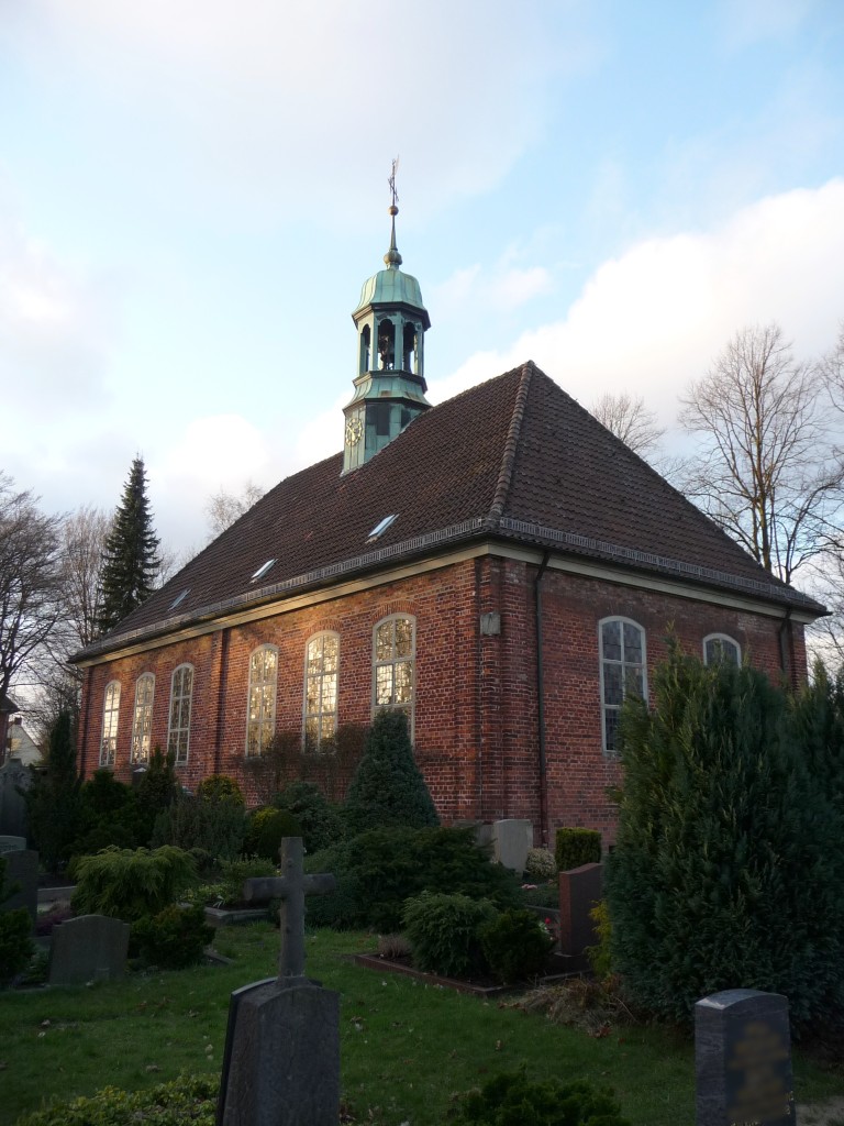
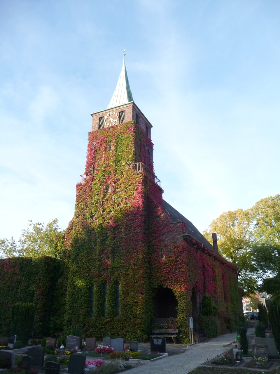
Bremen (Bremen)


- city in the Bremen federated state, Germany
 Hiking in Bremen
Bremen, while primarily known for its rich history and vibrant cultural scene, doesn't have the extensive hiking trails commonly found in more mountainous regions of Germany. However, there are some lovely outdoor areas and walking opportunities nearby that can satisfy those looking for a hiking experience.
Local Parks and Green Spaces:
-
Bürgerpark: This large public park is perfect for walking and enjoying nature. You can take a leisurely stroll around the lake, enjoy the beautiful gardens, or explore the wooded areas. It provides a great escape within the city.
-
Weser River Promenade: The Weser river runs through Bremen, and walking along its banks can be a pleasant way to enjoy the scenery, particularly during sunset. There are paths that lead to parks and other attractions.
Day Trips for Hiking:
If you're willing to travel a bit outside of Bremen, you can find more traditional hiking areas:
-
Teutoburg Forest: Located about an hour's drive from Bremen, this region offers numerous trails with varying difficulty levels. It's known for its rolling hills, dense forests, and historical sites. The Hermannsdenkmal is a popular landmark.
-
Lüneburg Heath (Lüneburger Heide): A couple of hours from Bremen, this stunning area features heather-covered landscapes, sandy paths, and unique flora and fauna. It’s excellent for hiking, particularly in the late summer when the heather is in bloom.
-
Südheide Nature Park: This park offers a variety of trails through diverse landscapes, including heathlands, forests, and meadows. It’s perfect for those looking for a serene hiking experience.
Tips for Hiking in Bremen Area:
-
Best Time to Visit: Late spring through early autumn is ideal for hiking when the weather is mild and the natural scenery is at its peak.
-
Local Trails: Utilize local resources or apps like Komoot to find shorter walking routes in and around the city.
-
Packing Essentials: Even for short hikes, ensure you have water, snacks, and weather-appropriate clothing. Good footwear is essential to turn a casual walk into a more enjoyable hike.
-
Check Local Information: Before heading out, it’s a good idea to check local maps or guides for specific trails, as well as any access restrictions or warnings.
While Bremen might not be a hiking hotspot, outdoor enthusiasts can still find enjoyable walks and short hikes both in the city and nearby.
- Country:

- Postal Code: 28779; 28777; 28759; 28757; 28755; 28719; 28717; 28359; 28357; 28355; 28329; 28327; 28325; 28309; 28307; 28279; 28277; 28259; 28239; 28237; 28219; 28217; 28215; 28213; 28211; 28209; 28207; 28205; 28203; 28201; 28199; 28197; 28195
- Local Dialing Code: 0421
- Licence Plate Code: HB
- Coordinates: 53° 4' 37" N, 8° 48' 32" E


- GPS tracks (wikiloc): [Link]
- AboveSeaLevel: 6 м m
- Area: 326.18 sq km
- Population: 568006
- Web site: https://www.bremen.de/
- Wikipedia en: wiki(en)
- Wikipedia: wiki(de)
- Wikidata storage: Wikidata: Q24879
- Wikipedia Commons Gallery: [Link]
- Wikipedia Commons Category: [Link]
- Wikipedia Commons Maps Category: [Link]
- Freebase ID: [/m/017w_]
- GeoNames ID: Alt: [6553020]
- VIAF ID: Alt: [137159715]
- OSM relation ID: [62559]
- archINFORM location ID: [304]
- Library of Congress authority ID: Alt: [n81029656]
- MusicBrainz area ID: [9c607066-ceb6-4a78-a614-4c14a2b3ec35]
- Quora topic ID: [Bremen-Germany]
- Encyclopædia Britannica Online ID: [place/Bremen-Germany]
- Encyclopædia Universalis ID: [breme]
- EMLO location ID: [15793282-27f7-4c3d-ac6d-3949ec7021bb]
- Facebook Places ID: [115221125158582]
- Great Russian Encyclopedia Online ID: [1883153]
- ISNI: Alt: [0000 0001 1544 0576]
- NKCR AUT ID: [ge128844]
- NUTS code: [DE501]
- YSO ID: [108131]
- Nomisma ID: [bremen]
- FAST ID: [1212435]
- Image Archive, Herder Institute: [Q24879]
- German municipality key: 04011000
- US National Archives Identifier: 10044626
- German district key: 04011
- German regional key: 04011
Includes regions:


Bremen-Mitte
- one of 5 administrative districts of Bremen, Germany
Hiking in Bremen-Mitte
Bremen-Mitte, located in the heart of Bremen, Germany, is primarily an urban area, so traditional hiking may not be as prevalent as in more rural or mountainous regions. However, there are plenty of opportunities for walking and enjoying nature within the city's boundaries. Here are some aspects of hiking or walking in Bremen-Mitte:...
- Country:

Bremen-Süd
- one of 5 administrative districts of Bremen, Germany
Hiking in Bremen-Süd
Bremen-Süd, located in the southern part of Bremen, is not primarily known for extensive hiking trails compared to more mountainous regions, but there are several pleasant outdoor areas and green spaces suitable for walking and light hiking....
- Country:

Bremen-West
- one of 5 administrative districts of Bremen, Germany
Hiking in Bremen-West
Bremen-West, a district of the city of Bremen in Germany, is not traditionally known for extensive hiking trails like you might find in more mountainous regions. However, there are still some lovely spots for walking and outdoor activities in and around the area....
- Country:


Bremen-Ost
- one of 5 administrative districts of Bremen, Germany
Hiking in Bremen-Ost
Bremen-Ost, a district in the city of Bremen, Germany, offers a variety of opportunities for hiking and outdoor activities, although it may not be as renowned for hiking as some larger national parks or mountain regions. Here are some options and features to consider if you're looking to hike in and around Bremen-Ost:...
- Country:


Bremen-Nord
- one of 5 administrative districts of Bremen, Germany
Hiking in Bremen-Nord
Bremen-Nord, located in the northern part of Bremen, Germany, offers a variety of outdoor activities, including hiking. While it may not be known for rugged mountain trails, the area is enriched with beautiful landscapes, parks, and natural reserves that provide excellent opportunities for hiking and exploring nature....
- Country:
- Postal Code: 28779; 28777; 28755; 28759; 28757; 28719; 28717; 28237
- Local Dialing Code: 0421
- Licence Plate Code: HB
- Coordinates: 53° 10' 21" N, 8° 37' 18" E
- GPS tracks (wikiloc): [Link]
- Area: 60.475 sq km
- Population: 100713
Shares border with regions:


Delmenhorst
- city in Lower Saxony, Germany
Hiking in Delmenhorst
Delmenhorst is a town located in Lower Saxony, Germany, near Bremen. While it may not be as widely known for hiking as some other regions, it offers several opportunities for outdoor walking and nature exploration. Here are some insights about hiking in and around Delmenhorst:...
- Country:
- Postal Code: 27749–27755
- Local Dialing Code: 04221
- Licence Plate Code: DEL
- Coordinates: 53° 3' 2" N, 8° 37' 54" E
- GPS tracks (wikiloc): [Link]
- AboveSeaLevel: 7 м m
- Area: 62.45 sq km
- Population: 77045
- Web site: [Link]


Osterholz
- district in Lower Saxony, Germany
Hiking in Osterholz
Osterholz, located in Lower Saxony, Germany, offers a variety of hiking opportunities for outdoor enthusiasts. The region is characterized by its beautiful landscapes, including forests, heathlands, and rivers, providing a picturesque setting for hikers. Here are some highlights and tips for hiking in Osterholz:...
- Country:
- Capital: Osterholz-Scharmbeck
- Licence Plate Code: OHZ
- Coordinates: 53° 15' 0" N, 8° 49' 48" E
- GPS tracks (wikiloc): [Link]
- AboveSeaLevel: 3 м m
- Area: 650.73 sq km
- Population: 112695
- Web site: [Link]


Verden
- district in Lower Saxony, Germany
Hiking in Verden
Verden, located in Lower Saxony, Germany, is an area that offers various outdoor activities, including hiking. The district is characterized by its lush landscapes, woodlands, and scenic countryside, making it a pleasant spot for nature lovers and hikers alike....
- Country:
- Licence Plate Code: VER
- Coordinates: 53° 0' 0" N, 9° 10' 12" E
- GPS tracks (wikiloc): [Link]
- AboveSeaLevel: 23 м m
- Area: 787.70 sq km
- Population: 135842
- Web site: [Link]


Wesermarsch
- district in Lower Saxony, Germany
Hiking in Wesermarsch
Wesermarsch is a fascinating region in Lower Saxony, Germany, known for its flat landscapes, unique marsh ecosystems, and rich cultural heritage. While it may not be as mountainous as other hiking destinations, it offers a variety of hiking trails suitable for all levels, especially for those who enjoy tranquil walks in nature and picturesque views....
- Country:
- Capital: Brake
- Licence Plate Code: BRA
- Coordinates: 53° 19' 48" N, 8° 19' 48" E
- GPS tracks (wikiloc): [Link]
- Area: 821.87 sq km
- Population: 89282
- Web site: [Link]


Diepholz
- district in Lower Saxony, Germany
Hiking in Diepholz
Diepholz is a district located in Lower Saxony, Germany, known for its scenic landscapes and outdoor recreational opportunities, including hiking. Here are some insights about hiking in and around Diepholz:...
- Country:
- Licence Plate Code: SY; DH
- Coordinates: 52° 40' 12" N, 8° 34' 48" E
- GPS tracks (wikiloc): [Link]
- AboveSeaLevel: 52 м m
- Area: 1987.00 sq km
- Population: 209671
- Web site: [Link]