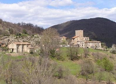
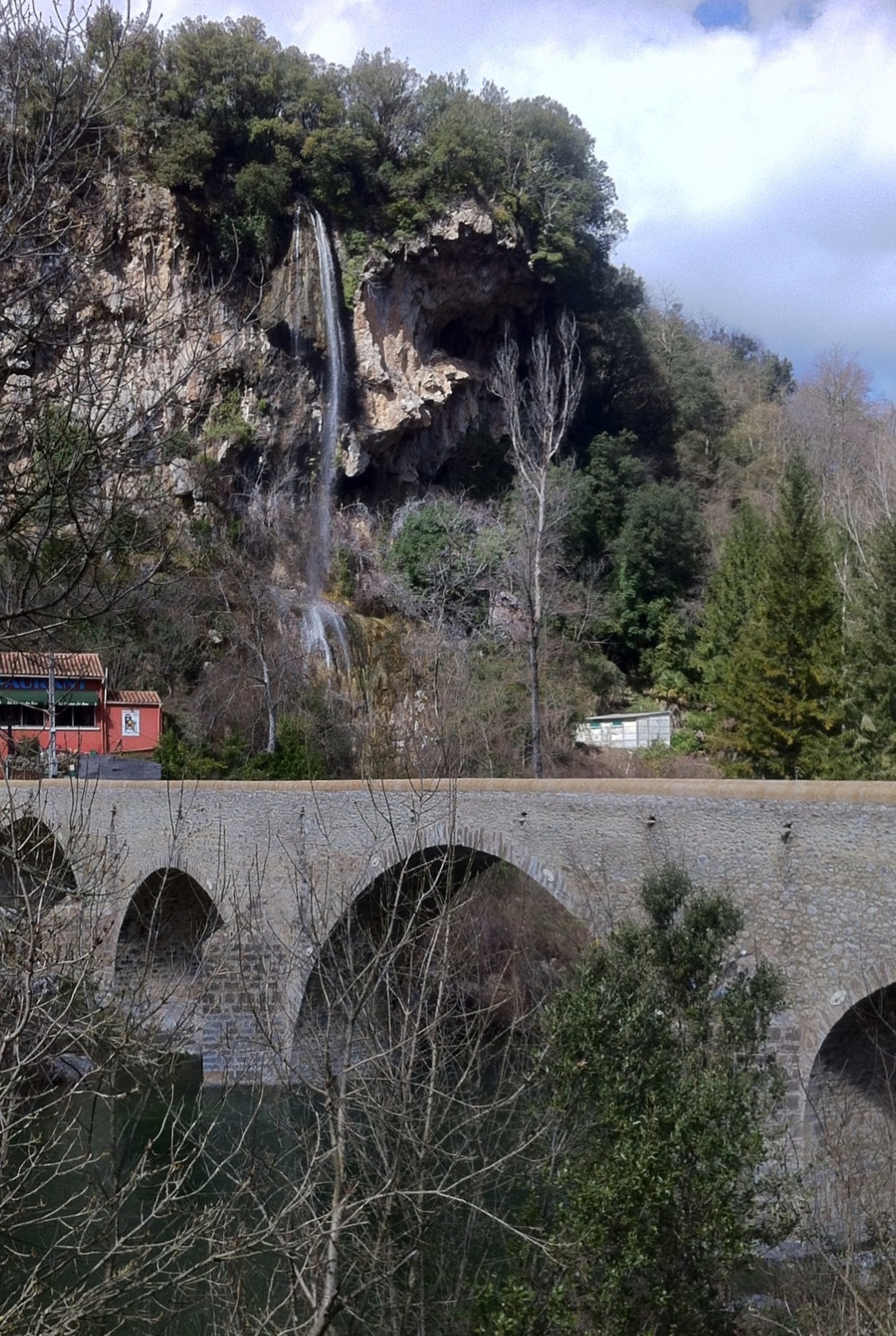
canton of Sumène (canton de Sumène)
- canton of France
- Country:

- Capital: Sumène
- Coordinates: 43° 59' 0" N, 3° 43' 0" E


- GPS tracks (wikiloc): [Link]
- Wikidata storage: Wikidata: Q1727539
- Wikipedia Commons Category: [Link]
- INSEE canton code: [3033]
Includes regions:


Saint-Martial
- commune in Gard, France
- Country:
- Postal Code: 30440
- Coordinates: 44° 2' 4" N, 3° 44' 9" E
- GPS tracks (wikiloc): [Link]
- Area: 17.16 sq km
- Population: 174
- Web site: [Link]

Saint-Roman-de-Codières
- commune in Gard, France
- Country:
- Postal Code: 30440
- Coordinates: 44° 0' 8" N, 3° 46' 39" E
- GPS tracks (wikiloc): [Link]
- Area: 18.43 sq km
- Population: 172
- Web site: [Link]

Saint-Julien-de-la-Nef
- commune in Gard, France
- Country:
- Postal Code: 30440
- Coordinates: 43° 57' 54" N, 3° 41' 18" E
- GPS tracks (wikiloc): [Link]
- Area: 8.83 sq km
- Population: 134


Saint-Laurent-le-Minier
- commune in Gard, France
- Country:
- Postal Code: 30440
- Coordinates: 43° 55' 56" N, 3° 39' 16" E
- GPS tracks (wikiloc): [Link]
- Area: 13.26 sq km
- Population: 345
- Web site: [Link]


Sumène
- commune in Gard, France
- Country:
- Postal Code: 30440
- Coordinates: 43° 58' 51" N, 3° 42' 56" E
- GPS tracks (wikiloc): [Link]
- Area: 36.59 sq km
- Population: 1570
- Web site: [Link]


Saint-Bresson
- commune in Gard, France
- Country:
- Postal Code: 30440
- Coordinates: 43° 57' 13" N, 3° 38' 45" E
- GPS tracks (wikiloc): [Link]
- Area: 8.4 sq km
- Population: 56
Roquedur
- commune in Gard, France
- Country:
- Postal Code: 30440
- Coordinates: 43° 58' 33" N, 3° 40' 32" E
- GPS tracks (wikiloc): [Link]
- Area: 10.85 sq km
- Population: 254