Saint-Bresson (Saint-Bresson)

- commune in Gard, France
- Country:

- Postal Code: 30440
- Coordinates: 43° 57' 13" N, 3° 38' 45" E


- GPS tracks (wikiloc): [Link]
- Area: 8.4 sq km
- Population: 56
- Wikipedia en: wiki(en)
- Wikipedia: wiki(fr)
- Wikidata storage: Wikidata: Q859762
- Wikipedia Commons Category: [Link]
- Freebase ID: [/m/03c81d2]
- GeoNames ID: Alt: [6612450]
- SIREN number: [213002389]
- BnF ID: [15254878b]
- INSEE municipality code: 30238
Shares border with regions:
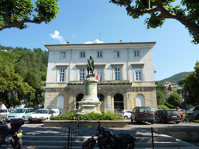

Le Vigan
- commune in Gard, France
- Country:
- Postal Code: 30120
- Coordinates: 43° 59' 32" N, 3° 36' 20" E
- GPS tracks (wikiloc): [Link]
- AboveSeaLevel: 231 м m
- Area: 17.24 sq km
- Population: 3896
- Web site: [Link]
Pommiers
- commune in Gard, France
- Country:
- Postal Code: 30120
- Coordinates: 43° 57' 5" N, 3° 36' 27" E
- GPS tracks (wikiloc): [Link]
- Area: 6.51 sq km
- Population: 59

Saint-Julien-de-la-Nef
- commune in Gard, France
- Country:
- Postal Code: 30440
- Coordinates: 43° 57' 54" N, 3° 41' 18" E
- GPS tracks (wikiloc): [Link]
- Area: 8.83 sq km
- Population: 134


Saint-Laurent-le-Minier
- commune in Gard, France
- Country:
- Postal Code: 30440
- Coordinates: 43° 55' 56" N, 3° 39' 16" E
- GPS tracks (wikiloc): [Link]
- Area: 13.26 sq km
- Population: 345
- Web site: [Link]
Roquedur
- commune in Gard, France
- Country:
- Postal Code: 30440
- Coordinates: 43° 58' 33" N, 3° 40' 32" E
- GPS tracks (wikiloc): [Link]
- Area: 10.85 sq km
- Population: 254