canton of Rue (canton de Rue)

- canton of France
- Country:

- Capital: Rue
- Coordinates: 50° 16' 23" N, 1° 40' 7" E


- GPS tracks (wikiloc): [Link]
- Population: 24982
- Wikipedia en: wiki(en)
- Wikipedia: wiki(fr)
- Wikidata storage: Wikidata: Q1727032
- Freebase ID: [/m/03y6f4b]
- OSM relation ID: [4451926]
- INSEE canton code: [8023]
Includes regions:


Bernay-en-Ponthieu
- commune in Somme, France
- Country:
- Postal Code: 80120
- Coordinates: 50° 16' 7" N, 1° 44' 41" E
- GPS tracks (wikiloc): [Link]
- Area: 9.97 sq km
- Population: 230


Favières
- commune in Somme, France
- Country:
- Postal Code: 80120
- Coordinates: 50° 14' 18" N, 1° 39' 49" E
- GPS tracks (wikiloc): [Link]
- Area: 12.62 sq km
- Population: 460
- Web site: [Link]

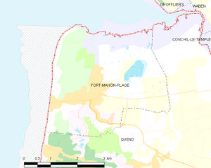
Fort-Mahon-Plage
- commune in Somme, France
- Country:
- Postal Code: 80790
- Coordinates: 50° 20' 29" N, 1° 34' 7" E
- GPS tracks (wikiloc): [Link]
- Area: 13.04 sq km
- Population: 1182


Argoules
- commune in Somme, France
- Country:
- Postal Code: 80120
- Coordinates: 50° 20' 34" N, 1° 49' 58" E
- GPS tracks (wikiloc): [Link]
- Area: 9.45 sq km
- Population: 324


Arry
- commune in Somme, France
- Country:
- Postal Code: 80120
- Coordinates: 50° 16' 42" N, 1° 43' 14" E
- GPS tracks (wikiloc): [Link]
- Area: 7.34 sq km
- Population: 205
- Web site: [Link]


Machiel
- commune in Somme, France
- Country:
- Postal Code: 80150
- Coordinates: 50° 16' 2" N, 1° 49' 29" E
- GPS tracks (wikiloc): [Link]
- Area: 6.61 sq km
- Population: 173


Machy
- commune in Somme, France
- Country:
- Postal Code: 80150
- Coordinates: 50° 16' 16" N, 1° 48' 3" E
- GPS tracks (wikiloc): [Link]
- Area: 3.29 sq km
- Population: 130

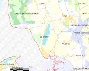
Le Crotoy
- commune in Somme, France
- Country:
- Postal Code: 80550
- Coordinates: 50° 12' 57" N, 1° 37' 30" E
- GPS tracks (wikiloc): [Link]
- Area: 16.32 sq km
- Population: 2077
- Web site: [Link]


Quend
- commune in Somme, France
- Country:
- Postal Code: 80120
- Coordinates: 50° 18' 59" N, 1° 38' 10" E
- GPS tracks (wikiloc): [Link]
- Area: 37.78 sq km
- Population: 1391
- Web site: [Link]
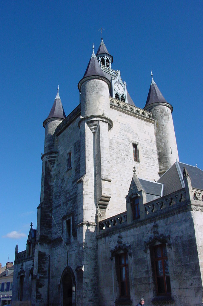
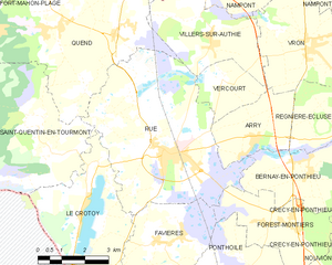
Rue
- commune in Somme, France
- Country:
- Postal Code: 80120
- Coordinates: 50° 16' 20" N, 1° 40' 4" E
- GPS tracks (wikiloc): [Link]
- Area: 29.06 sq km
- Population: 3113
- Web site: [Link]

Regnière-Écluse
- commune in Somme, France
- Country:
- Postal Code: 80120
- Coordinates: 50° 16' 51" N, 1° 46' 2" E
- GPS tracks (wikiloc): [Link]
- Area: 9.54 sq km
- Population: 128

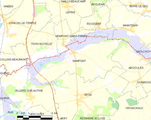
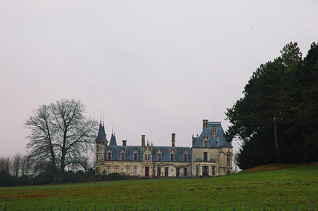
Nampont
- commune in Somme, France
- Country:
- Postal Code: 80120
- Coordinates: 50° 20' 56" N, 1° 44' 44" E
- GPS tracks (wikiloc): [Link]
- AboveSeaLevel: 10 м m
- Area: 19.39 sq km
- Population: 247


Saint-Quentin-en-Tourmont
- commune in Somme, France
- Country:
- Postal Code: 80120
- Coordinates: 50° 17' 6" N, 1° 35' 22" E
- GPS tracks (wikiloc): [Link]
- Area: 32.89 sq km
- Population: 298

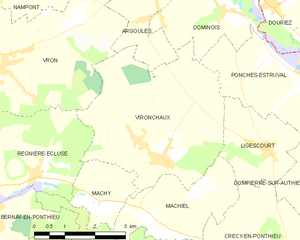
Vironchaux
- commune in Somme, France
- Country:
- Postal Code: 80150
- Coordinates: 50° 17' 20" N, 1° 49' 19" E
- GPS tracks (wikiloc): [Link]
- Area: 16.14 sq km
- Population: 478

Villers-sur-Authie
- commune in Somme, France
- Country:
- Postal Code: 80120
- Coordinates: 50° 19' 1" N, 1° 41' 36" E
- GPS tracks (wikiloc): [Link]
- Area: 12.01 sq km
- Population: 472
- Web site: [Link]

Vercourt
- commune in Somme, France
- Country:
- Postal Code: 80120
- Coordinates: 50° 18' 1" N, 1° 42' 4" E
- GPS tracks (wikiloc): [Link]
- Area: 4.67 sq km
- Population: 93


Vron
- commune in Somme, France
- Country:
- Postal Code: 80120
- Coordinates: 50° 18' 47" N, 1° 45' 13" E
- GPS tracks (wikiloc): [Link]
- Area: 20.67 sq km
- Population: 840