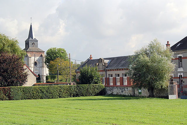
Nampont (Nampont)

- commune in Somme, France
- Country:

- Postal Code: 80120
- Coordinates: 50° 20' 56" N, 1° 44' 44" E


- GPS tracks (wikiloc): [Link]
- AboveSeaLevel: 10 м m
- Area: 19.39 sq km
- Population: 247
- Wikipedia en: wiki(en)
- Wikipedia: wiki(fr)
- Wikidata storage: Wikidata: Q691511
- Wikipedia Commons Category: [Link]
- Freebase ID: [/m/03d0r9p]
- GeoNames ID: Alt: [6617756]
- SIREN number: [218005478]
- BnF ID: [15277056z]
- OSM relation ID: [1378626]
- INSEE municipality code: 80580
Shares border with regions:

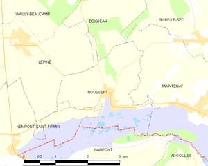
Roussent
- commune in Pas-de-Calais, France
- Country:
- Postal Code: 62870
- Coordinates: 50° 22' 6" N, 1° 46' 29" E
- GPS tracks (wikiloc): [Link]
- Area: 5.04 sq km
- Population: 240
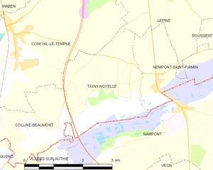
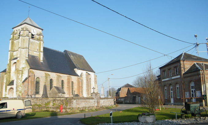
Tigny-Noyelle
- commune in Pas-de-Calais, France
- Country:
- Postal Code: 62180
- Coordinates: 50° 21' 10" N, 1° 42' 21" E
- GPS tracks (wikiloc): [Link]
- Area: 6.76 sq km
- Population: 173


Nempont-Saint-Firmin
- commune in Pas-de-Calais, France
- Country:
- Postal Code: 62180
- Coordinates: 50° 21' 18" N, 1° 43' 57" E
- GPS tracks (wikiloc): [Link]
- Area: 4.48 sq km
- Population: 187


Argoules
- commune in Somme, France
- Country:
- Postal Code: 80120
- Coordinates: 50° 20' 34" N, 1° 49' 58" E
- GPS tracks (wikiloc): [Link]
- Area: 9.45 sq km
- Population: 324


Maintenay
- commune in Pas-de-Calais, France
- Country:
- Postal Code: 62870
- Coordinates: 50° 22' 0" N, 1° 48' 45" E
- GPS tracks (wikiloc): [Link]
- Area: 12.11 sq km
- Population: 403

Villers-sur-Authie
- commune in Somme, France
- Country:
- Postal Code: 80120
- Coordinates: 50° 19' 1" N, 1° 41' 36" E
- GPS tracks (wikiloc): [Link]
- Area: 12.01 sq km
- Population: 472
- Web site: [Link]


Vron
- commune in Somme, France
- Country:
- Postal Code: 80120
- Coordinates: 50° 18' 47" N, 1° 45' 13" E
- GPS tracks (wikiloc): [Link]
- Area: 20.67 sq km
- Population: 840