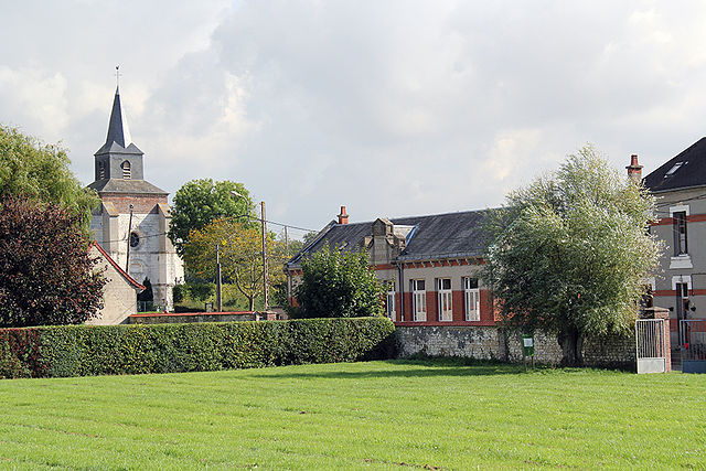
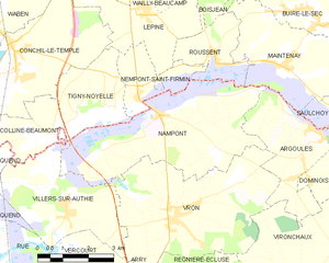
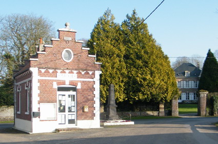
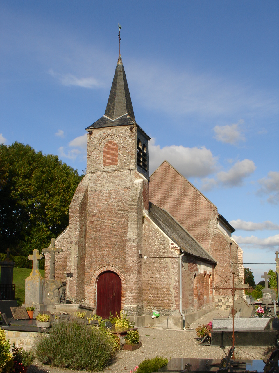
Villers-sur-Authie (Villers-sur-Authie)

- commune in Somme, France
- Country:

- Postal Code: 80120
- Coordinates: 50° 19' 1" N, 1° 41' 36" E


- GPS tracks (wikiloc): [Link]
- Area: 12.01 sq km
- Population: 472
- Web site: http://www.mairie-villers-sur-authie.com/
- Wikipedia en: wiki(en)
- Wikipedia: wiki(fr)
- Wikidata storage: Wikidata: Q889767
- Wikipedia Commons Category: [Link]
- Freebase ID: [/m/03qmrb7]
- GeoNames ID: Alt: [6444804]
- SIREN number: [218007573]
- BnF ID: [15277277g]
- VIAF ID: Alt: [245440493]
- OSM relation ID: [1269374]
- PACTOLS thesaurus ID: [pcrtp7EZYPpLyz]
- WOEID: [12672544]
- INSEE municipality code: 80806
Shares border with regions:
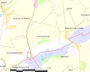
Tigny-Noyelle
- commune in Pas-de-Calais, France
- Country:
- Postal Code: 62180
- Coordinates: 50° 21' 10" N, 1° 42' 21" E
- GPS tracks (wikiloc): [Link]
- Area: 6.76 sq km
- Population: 173


Arry
- commune in Somme, France
- Country:
- Postal Code: 80120
- Coordinates: 50° 16' 42" N, 1° 43' 14" E
- GPS tracks (wikiloc): [Link]
- Area: 7.34 sq km
- Population: 205
- Web site: [Link]


Quend
- commune in Somme, France
- Country:
- Postal Code: 80120
- Coordinates: 50° 18' 59" N, 1° 38' 10" E
- GPS tracks (wikiloc): [Link]
- Area: 37.78 sq km
- Population: 1391
- Web site: [Link]
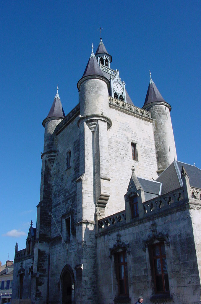
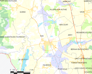
Rue
- commune in Somme, France
- Country:
- Postal Code: 80120
- Coordinates: 50° 16' 20" N, 1° 40' 4" E
- GPS tracks (wikiloc): [Link]
- Area: 29.06 sq km
- Population: 3113
- Web site: [Link]

Nampont
- commune in Somme, France
- Country:
- Postal Code: 80120
- Coordinates: 50° 20' 56" N, 1° 44' 44" E
- GPS tracks (wikiloc): [Link]
- AboveSeaLevel: 10 м m
- Area: 19.39 sq km
- Population: 247

Vercourt
- commune in Somme, France
- Country:
- Postal Code: 80120
- Coordinates: 50° 18' 1" N, 1° 42' 4" E
- GPS tracks (wikiloc): [Link]
- Area: 4.67 sq km
- Population: 93


Vron
- commune in Somme, France
- Country:
- Postal Code: 80120
- Coordinates: 50° 18' 47" N, 1° 45' 13" E
- GPS tracks (wikiloc): [Link]
- Area: 20.67 sq km
- Population: 840

Colline-Beaumont
- commune in Pas-de-Calais, France
- Country:
- Postal Code: 62180
- Coordinates: 50° 20' 23" N, 1° 40' 54" E
- GPS tracks (wikiloc): [Link]
- Area: 4.6 sq km
- Population: 137