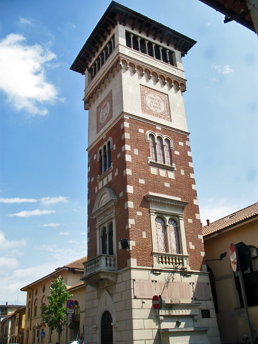
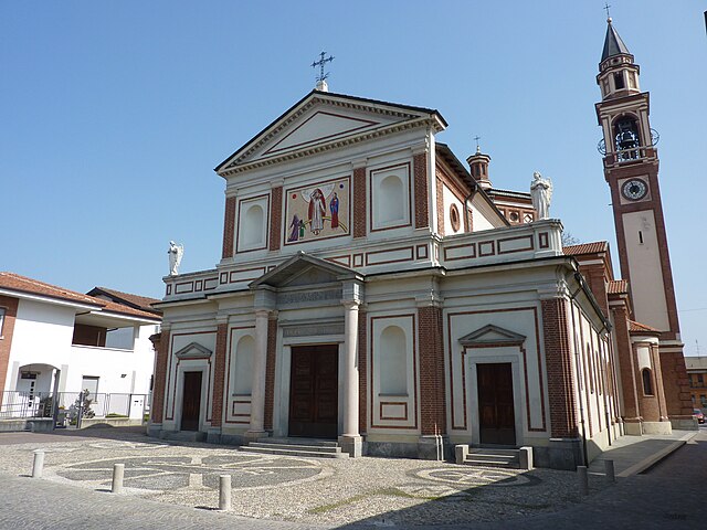
Caronno Pertusella (Caronno Pertusella)
.svg)
- Italian comune
 Hiking in Caronno Pertusella
Caronno Pertusella, located in the Lombardy region of Italy, is not primarily known as a hiking destination, but it does offer access to various natural areas and nearby trails that can be enjoyable for outdoor enthusiasts. Here are some key points to consider for hiking in and around Caronno Pertusella:
-
Local Parks: Explore local parks and green spaces within the town, such as Parco della Valle del Bozzente. These areas may have walking paths and are suitable for light hiking or walking.
-
Proximity to Larger Hiking Areas: Caronno Pertusella is conveniently located near other natural settings. Consider venturing out to the nearby Saronno or the larger Parco di Pineta, which features more established hiking trails through forests and hills.
-
Nearby Lakes: A little further away, you can find places like Lake Como or Lake Maggiore, both of which offer extensive hiking opportunities along scenic lakeside trails.
-
Hiking Community: Engage with local hiking groups or clubs that can offer guided hikes, which can enhance your experience and knowledge of the area.
-
Planning: If you're planning to hike, check local maps and terrain information to find suitable trails for your skill level. Be aware of weather conditions and prepare accordingly.
-
Safety Tips: Always let someone know your hiking plans, bring sufficient water, wear appropriate footwear, and stay on marked trails to ensure your safety.
-
Cultural Sites: Incorporating a hike with visits to historical sites in the area can enhance your experience, as Caronno Pertusella has a rich history worth exploring.
If you're visiting Caronno Pertusella and looking for specific hiking suggestions, consider asking locals or visiting tourist information centers for the most up-to-date trail advice.
- Country:

- Postal Code: 21042
- Local Dialing Code: 02
- Licence Plate Code: VA
- Coordinates: 45° 36' 0" N, 9° 3' 0" E


- GPS tracks (wikiloc): [Link]
- AboveSeaLevel: 194 м m
- Area: 8.4 sq km
- Population: 17775
- Web site: http://www.comune.caronnopertusella.va.it/
- Wikipedia en: wiki(en)
- Wikipedia: wiki(it)
- Wikidata storage: Wikidata: Q40824
- Wikipedia Commons Category: [Link]
- Freebase ID: [/m/0fslkg]
- GeoNames ID: Alt: [6542309]
- VIAF ID: Alt: [247000440]
- OSM relation ID: [45408]
- TGN ID: [7006052]
- UN/LOCODE: [ITCOP]
- ISTAT ID: 012034
- Italian cadastre code: B805
Shares border with regions:

Origgio
- Italian comune
Hiking in Origgio
Origgio, located in the Lombardy region of Italy, is surrounded by beautiful landscapes and offers various opportunities for hiking and outdoor activities. While it may not be as well-known for hiking as some other regions in Italy, there are still some lovely trails and outdoor spots nearby that you can explore....
- Country:
- Postal Code: 21040
- Local Dialing Code: 02
- Licence Plate Code: VA
- Coordinates: 45° 35' 49" N, 9° 1' 6" E
- GPS tracks (wikiloc): [Link]
- AboveSeaLevel: 191 м m
- Area: 7.92 sq km
- Population: 7827
- Web site: [Link]


Saronno
- Italian comune
Hiking in Saronno
Saronno, located in the Lombardy region of northern Italy, is not primarily known as a hiking destination, but it does have access to some beautiful trails and natural areas nearby. Here are a few points to consider if you're looking to hike around Saronno:...
- Country:
- Postal Code: 21047
- Local Dialing Code: 02
- Licence Plate Code: VA
- Coordinates: 45° 37' 32" N, 9° 2' 13" E
- GPS tracks (wikiloc): [Link]
- AboveSeaLevel: 212 м m
- Area: 11.06 sq km
- Population: 39419
- Web site: [Link]

Solaro
- Italian comune
Hiking in Solaro
Solaro is a charming town located in the Lombardy region of northern Italy, though it is more commonly known as a residential area within the metropolitan region of Milan. Being close to the foothills of the Alps, it offers access to beautiful hiking trails and natural landscapes that can be explored....
- Country:
- Postal Code: 20020
- Local Dialing Code: 02
- Licence Plate Code: MI
- Coordinates: 45° 36' 54" N, 9° 5' 2" E
- GPS tracks (wikiloc): [Link]
- AboveSeaLevel: 211 м m
- Area: 6.68 sq km
- Population: 14223
- Web site: [Link]
Garbagnate Milanese
- Italian comune
Hiking in Garbagnate Milanese
Garbagnate Milanese, located in the Lombardy region of Italy, offers a unique blend of urban and natural experiences for hikers. While it's not as mountainous as some other parts of Lombardy, there are several green spaces and trails that cater to various hiking levels....
- Country:
- Postal Code: 20024
- Local Dialing Code: 02
- Licence Plate Code: MI
- Coordinates: 45° 35' 0" N, 9° 4' 0" E
- GPS tracks (wikiloc): [Link]
- AboveSeaLevel: 179 м m
- Area: 9 sq km
- Population: 27226
- Web site: [Link]
Cesate
- Italian comune
Hiking in Cesate
Cesate is a small town located in the Lombardy region of Italy, not far from Milan. While Cesate itself might not be a well-known hiking destination, it is situated within proximity to several areas that offer great hiking opportunities....
- Country:
- Postal Code: 20020
- Local Dialing Code: 02
- Licence Plate Code: MI
- Coordinates: 45° 36' 0" N, 9° 5' 0" E
- GPS tracks (wikiloc): [Link]
- AboveSeaLevel: 192 м m
- Area: 5.77 sq km
- Population: 14278
- Web site: [Link]


Lainate
- Italian comune
Hiking in Lainate
Lainate is a charming town in the Lombardy region of Italy, located not far from Milan. While Lainate itself might not be widely known for extensive hiking trails, there are several opportunities for outdoor enthusiasts in the surrounding area....
- Country:
- Postal Code: 20020
- Local Dialing Code: 02
- Licence Plate Code: MI
- Coordinates: 45° 34' 0" N, 9° 2' 0" E
- GPS tracks (wikiloc): [Link]
- AboveSeaLevel: 176 м m
- Area: 12.93 sq km
- Population: 25754
- Web site: [Link]