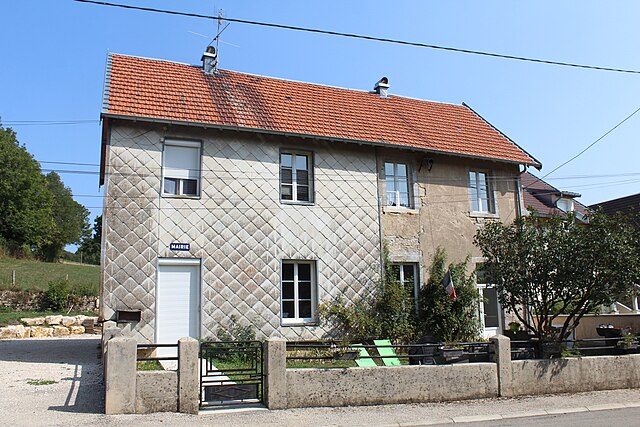
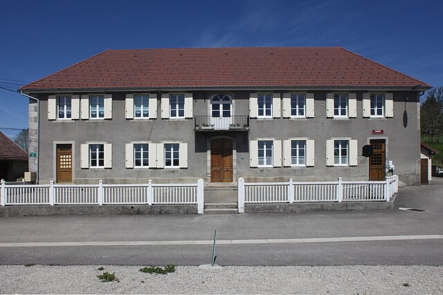
Cernans (Cernans)
- commune in Jura, France
I'm sorry, but there seems to be a misunderstanding. As of my last knowledge update in October 2023, there isn't a widely recognized hiking destination by the name "Cernans." If you meant a specific area or park that could be associated with that name, please provide more context or check the spelling.
If you're looking for hiking recommendations in a different location or specific trails, I can certainly help with that! Just let me know what you're interested in, and I'll do my best to provide you with useful information.
- Country:

- Postal Code: 39110
- Coordinates: 46° 55' 55" N, 5° 55' 54" E


- GPS tracks (wikiloc): [Link]
- Area: 5.51 sq km
- Population: 140
- Wikipedia en: wiki(en)
- Wikipedia: wiki(fr)
- Wikidata storage: Wikidata: Q733441
- Wikipedia Commons Category: [Link]
- Freebase ID: [/m/03np24q]
- Freebase ID: [/m/03np24q]
- GeoNames ID: Alt: [6448812]
- GeoNames ID: Alt: [6448812]
- SIREN number: [213900848]
- SIREN number: [213900848]
- BnF ID: [152584488]
- BnF ID: [152584488]
- INSEE municipality code: 39084
- INSEE municipality code: 39084
Shares border with regions:


Abergement-lès-Thésy
- commune in Jura, France
 Hiking in Abergement-lès-Thésy
Abergement-lès-Thésy is a charming commune in the Jura department of France, nestled in the picturesque landscape of the Jura mountain range. This area offers a variety of hiking opportunities, appealing to both novice and experienced hikers....
- Country:

- Postal Code: 39110
- Coordinates: 46° 55' 2" N, 5° 56' 23" E


- GPS tracks (wikiloc): [Link]
- Area: 4.63 sq km
- Population: 63


Geraise
- commune in Jura, France
Geraise, while not a widely recognized hiking destination, may refer to a specific area or trail that could be known locally or under a different name. If it is meant to indicate a less popular or regional hiking area, local resources or hiking clubs can provide you with detailed trail maps, difficulty levels, and any unique features of that environment....
- Country:

- Postal Code: 39110
- Coordinates: 46° 57' 24" N, 5° 56' 54" E


- GPS tracks (wikiloc): [Link]
- Area: 6.04 sq km
- Population: 40


Sainte-Anne
- commune in Doubs, France
Sainte-Anne, located in the Doubs department in eastern France, offers a range of hiking opportunities that showcase the stunning natural beauty of the Jura Mountains. The area is characterized by its picturesque landscapes, lush forests, and diverse wildlife, making it a fantastic destination for outdoor enthusiasts....
- Country:

- Postal Code: 25270
- Coordinates: 46° 57' 16" N, 5° 59' 7" E


- GPS tracks (wikiloc): [Link]
- Area: 6.64 sq km
- Population: 39


Clucy
- commune in Jura, France
It seems like there may be a typo or a misunderstanding regarding "Clucy." If you meant "Cluj," as in Cluj-Napoca, Romania, I can provide some information on hiking in that region. Alternatively, if you were referring to another location, feel free to clarify....
- Country:

- Postal Code: 39110
- Coordinates: 46° 56' 47" N, 5° 54' 13" E


- GPS tracks (wikiloc): [Link]
- Area: 5.13 sq km
- Population: 83


Dournon
- commune in Jura, France
Dournon, located in France, is not widely known as a major hiking destination, but it can offer some picturesque trails and scenic beauty typical of rural French landscapes. While specific trails might not be extensively documented, here are some general tips and insights you can follow when hiking in the Dournon area or similar rural locations:...
- Country:

- Postal Code: 39110
- Coordinates: 46° 55' 58" N, 5° 57' 55" E


- GPS tracks (wikiloc): [Link]
- Area: 6.55 sq km
- Population: 134


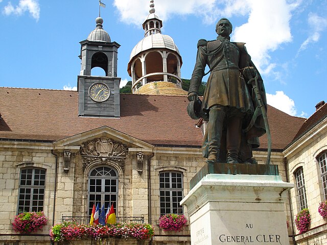
Salins-les-Bains
- commune in Jura, France
Salins-les-Bains, located in the Jura region of France, is known for its beautiful landscapes, rich historical heritage, and therapeutic salt springs. Hiking in this area offers a mix of natural beauty, cultural landmarks, and opportunities to enjoy the unique geology of the Jura Mountains....
- Country:

- Postal Code: 39110
- Coordinates: 46° 56' 28" N, 5° 52' 42" E


- GPS tracks (wikiloc): [Link]
- AboveSeaLevel: 350 м m
- Area: 24.68 sq km
- Population: 2718
- Web site: [Link]
