Coesfeld (Kreis Coesfeld)


- German district of North Rhine-Westphalia
 Hiking in Coesfeld
Coesfeld district, located in the North Rhine-Westphalia region of Germany, is not as widely known for hiking as other parts of the country, but it offers several scenic trails and outdoor opportunities that can appeal to nature lovers and hikers. Here are some highlights:
Scenic Trails
-
The Emscher River Trail: This trail follows the Emscher River and offers a lovely blend of natural beauty and cultural sights. Hikers can enjoy a peaceful atmosphere while observing local wildlife and flora.
-
Coesfelder Heide: This nature reserve features a variety of landscapes, including heathlands, woodlands, and meadows. It’s an excellent area for hiking, with designated paths that allow you to explore the unique ecosystems.
-
Local Routes: There are several shorter hiking paths in and around Coesfeld that are perfect for day hikes. These routes often lead through enchanting forests, fields, and quaint villages.
Hiking Tips
- Maps and Navigation: Make sure to have a reliable map or GPS with you, as some paths might not be well-marked.
- Local Weather: Check the weather forecast before heading out, as conditions can change rapidly.
- Footwear: Wear sturdy hiking boots to tackle various terrains comfortably.
- Safety: Always let someone know your hiking plans and carry a first-aid kit.
Additional Activities
- Cycling: Many hiking trails are also suitable for cycling, so you can explore the area on two wheels if desired.
- Bird Watching: The diverse habitats in the district make it a great spot for bird watching, especially in the wetlands.
Accessibility
Coesfeld is relatively easy to reach from major cities like Münster and Dortmund, making it a good option for a day hike or weekend getaway. Public transport and local roads are available for access to various trailheads.
Overall, hiking in Coesfeld district can be a rewarding experience, especially for those looking for a quieter, less commercial hiking experience in beautiful natural surroundings.
- Country:

- Licence Plate Code: COE
- Coordinates: 51° 52' 0" N, 7° 23' 0" E


- GPS tracks (wikiloc): [Link]
- AboveSeaLevel: 64 м m
- Web site: http://www.kreis-coesfeld.de/
- Wikipedia en: wiki(en)
- Wikipedia: wiki(de)
- Wikidata storage: Wikidata: Q6210
- Wikipedia Commons Gallery: [Link]
- Wikipedia Commons Category: [Link]
- Wikipedia Commons Maps Category: [Link]
- Freebase ID: [/m/0190qq]
- GeoNames ID: Alt: [2939944]
- VIAF ID: Alt: [129077658]
- OSM relation ID: [62779]
- GND ID: Alt: [4010356-0]
- archINFORM location ID: [2367]
- Library of Congress authority ID: Alt: [n85264850]
- Quora topic ID: [Coesfeld]
- TGN ID: [7204804]
- National Library of Israel ID: [001011913]
- NUTS code: [DEA35]
- GNS Unique Feature ID: -1756688
- German district key: 05558
Shares border with regions:

Münster
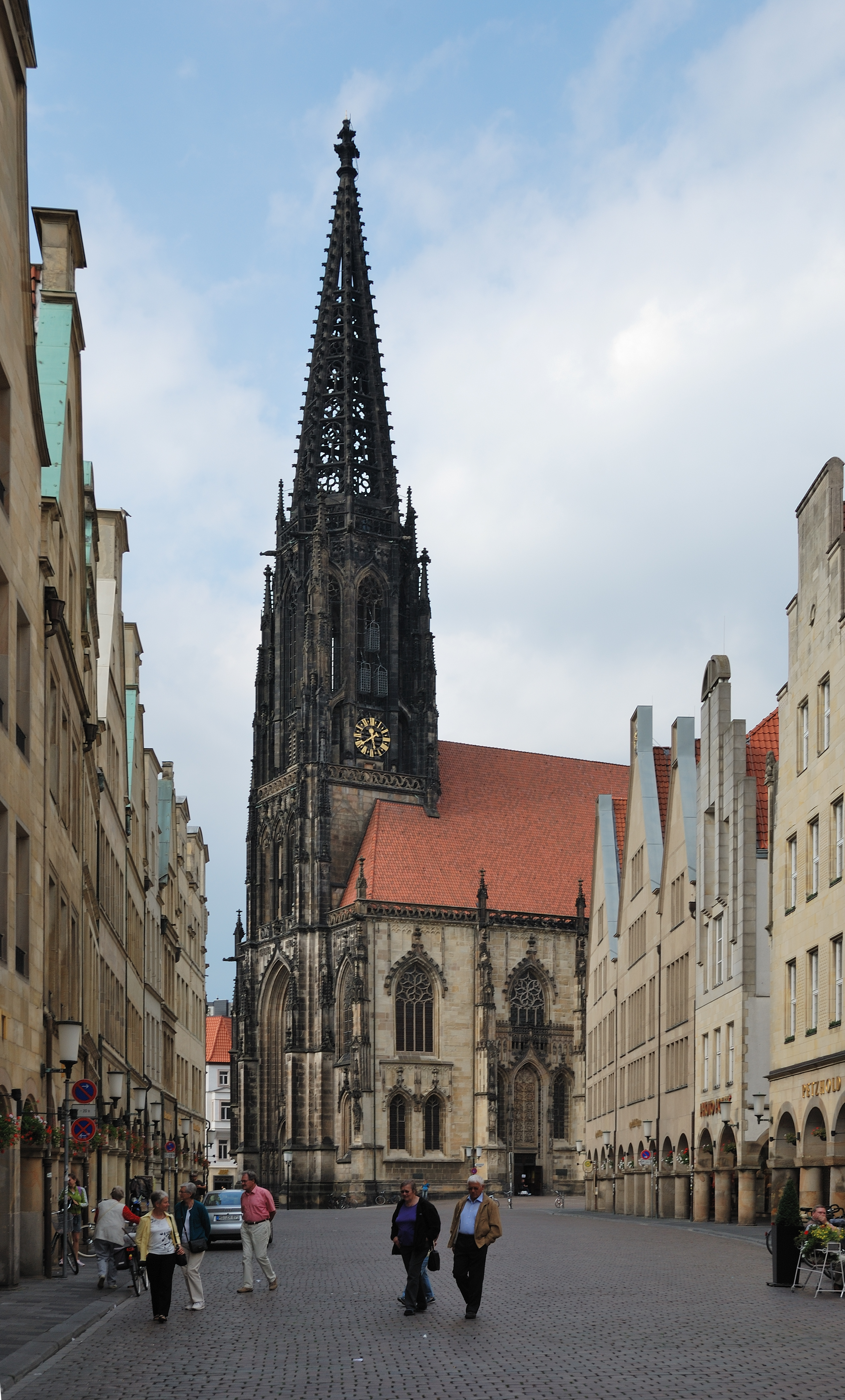
- city in North Rhine-Westphalia, Germany
Hiking in Münster
Hiking in Münster offers a delightful experience, combining beautiful landscapes, historical sites, and lush green parks. The area is characterized by its flat terrain, making it accessible for hikers of all skill levels. Here are some highlights for hiking in and around Münster:...
- Country:
- Postal Code: 48143–48167
- Local Dialing Code: 2536; 2534; 2533; 2506; 2501; 251
- Licence Plate Code: MS
- Coordinates: 51° 57' 45" N, 7° 37' 32" E
- GPS tracks (wikiloc): [Link]
- AboveSeaLevel: 60 м m
- Area: 303.28 sq km
- Population: 311846
- Web site: [Link]
Warendorf District
- district in North Rhine-Westphalia, Germany
Hiking in Warendorf District
Warendorf, located in the North Rhine-Westphalia region of Germany, is known for its picturesque landscapes, charming villages, and lush countryside, making it a delightful destination for hiking enthusiasts....
- Country:
- Licence Plate Code: WAF
- Coordinates: 51° 55' 12" N, 7° 55' 12" E
- GPS tracks (wikiloc): [Link]
- AboveSeaLevel: 65 м m
- Web site: [Link]


Hamm
- town in North Rhine-Westphalia, Germany
Hiking in Hamm
Hamm, located in the North Rhine-Westphalia region of Germany, offers a variety of hiking opportunities that cater to different skill levels and interests. While it may not be as famous for hiking as some other regions in Germany, it features several trails that allow hikers to enjoy the natural beauty and cultural landscapes of the area....
- Country:
- Postal Code: 59001–59077
- Local Dialing Code: 02389; 02388; 02307
- Licence Plate Code: HAM
- Coordinates: 51° 40' 19" N, 7° 49' 30" E
- GPS tracks (wikiloc): [Link]
- AboveSeaLevel: 63 м m
- Area: 226.43 sq km
- Population: 179571
- Web site: [Link]


Unna
- district in North Rhine-Westphalia, Germany
Hiking in Unna
Unna is a district located in North Rhine-Westphalia, Germany, known for its beautiful landscapes and diverse recreational opportunities, including hiking. The region attracts outdoors enthusiasts due to its varied terrains, which can range from gentle hills to river valleys and forests....
- Country:
- Capital: Unna
- Licence Plate Code: UN
- Coordinates: 51° 34' 48" N, 7° 40' 12" E
- GPS tracks (wikiloc): [Link]
- AboveSeaLevel: 70 м m
- Web site: [Link]


Steinfurt
- German district of North Rhine-Westphalia
Hiking in Steinfurt
Hiking in the Steinfurt district, located in North Rhine-Westphalia, Germany, offers a variety of scenic trails and natural landscapes that are ideal for outdoor enthusiasts. The region is characterized by its rolling hills, woodlands, and charming villages, making it a great place for hiking and exploring nature....
- Country:
- Licence Plate Code: ST
- Coordinates: 52° 10' 12" N, 7° 40' 12" E
- GPS tracks (wikiloc): [Link]
- AboveSeaLevel: 42 м m
- Area: 1795.76 sq km
- Web site: [Link]
Borken
- German district of North Rhine-Westphalia
Hiking in Borken
Borken is a district located in North Rhine-Westphalia, Germany, and it offers a variety of hiking opportunities for outdoor enthusiasts. The region is characterized by its diverse landscapes, which include forests, meadows, rivers, and a mix of natural and agricultural areas....
- Country:
- Licence Plate Code: BOR
- Coordinates: 51° 55' 0" N, 6° 55' 0" E
- GPS tracks (wikiloc): [Link]
- AboveSeaLevel: 65 м m
- Area: 1420.98 sq km
- Web site: [Link]


Recklinghausen
- German district of North Rhine-Westphalia
Hiking in Recklinghausen
Recklinghausen, located in the state of North Rhine-Westphalia in Germany, offers a variety of hiking opportunities, primarily in the form of trails that showcase the region's natural beauty and cultural heritage. Here are some aspects to consider when planning a hike in and around Recklinghausen:...
- Country:
- Licence Plate Code: RE
- Coordinates: 51° 40' 12" N, 7° 10' 12" E
- GPS tracks (wikiloc): [Link]
- AboveSeaLevel: 52 м m
- Web site: [Link]