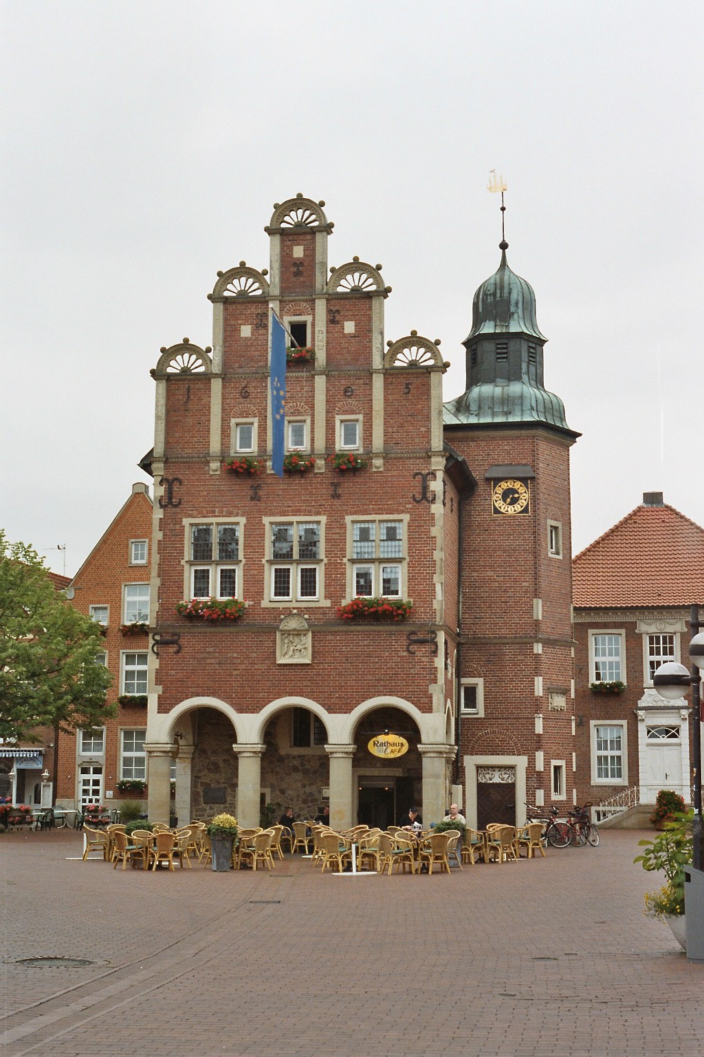
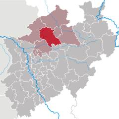
Steinfurt (Kreis Steinfurt)


- German district of North Rhine-Westphalia
 Hiking in Steinfurt
Hiking in the Steinfurt district, located in North Rhine-Westphalia, Germany, offers a variety of scenic trails and natural landscapes that are ideal for outdoor enthusiasts. The region is characterized by its rolling hills, woodlands, and charming villages, making it a great place for hiking and exploring nature.
Popular Hiking Areas:
-
Teutoburg Forest: This nearby range provides numerous trails that cater to different skill levels. The forest is known for its dense woods, impressive rock formations, and rich biodiversity.
-
Munsterland: The Steinfurt district is part of the Munsterland region, known for its beautiful countryside dotted with lakes, rivers, and historic castles. The flat terrain offers easy trails that are perfect for leisurely hikes.
-
Nature Reserves: There are several nature reserves in the region, such as the "Auenlandschaft" (floodplain landscape) which provides unique ecosystems and opportunities for birdwatching, in addition to hiking.
Popular Trails:
- The Hermann Trail: While not entirely in Steinfurt, this famous trail runs through the surrounding regions and offers stunning views of the landscapes.
- Local Circular Trails: Many villages in the Steinfurt district have well-marked circular hiking trails that allow you to explore the local flora and fauna.
Preparation and Tips:
- Maps and Signage: It’s advisable to have a detailed map or a GPS device, as trails may not always be well-marked.
- Weather: Check the weather forecast before heading out, as conditions can change rapidly in the area.
- Footwear: Wear sturdy hiking boots for comfort and support, especially on uneven terrain.
- Respect Nature: Follow local guidelines, including staying on marked paths to protect the environment.
Local Amenities:
- Accommodation: There are various options, from hotels and guesthouses to camping sites, depending on your preference.
- Cafés and Restaurants: Many small towns in the area provide refreshments and local cuisine, making great stops during your hike.
Hiking in the Steinfurt district can be a rewarding experience, whether you're looking for a peaceful walk in nature or a challenging trek through diverse landscapes. Enjoy your adventure!
- Country:

- Licence Plate Code: ST
- Coordinates: 52° 10' 12" N, 7° 40' 12" E


- GPS tracks (wikiloc): [Link]
- AboveSeaLevel: 42 м m
- Area: 1795.76 sq km
- Web site: http://www.kreis-steinfurt.de/
- Wikipedia en: wiki(en)
- Wikipedia: wiki(de)
- Wikidata storage: Wikidata: Q6187
- Wikipedia Commons Gallery: [Link]
- Wikipedia Commons Category: [Link]
- Wikipedia Commons Maps Category: [Link]
- Freebase ID: [/m/018s1b]
- GeoNames ID: Alt: [3247443]
- VIAF ID: Alt: [159574163]
- OSM relation ID: [62442]
- GND ID: Alt: [4057170-1]
- archINFORM location ID: [2621]
- Library of Congress authority ID: Alt: [n90619614]
- TGN ID: [7077177]
- National Library of Israel ID: [001026680]
- NUTS code: [DEA37]
- German district key: 05566
Shares border with regions:

Münster
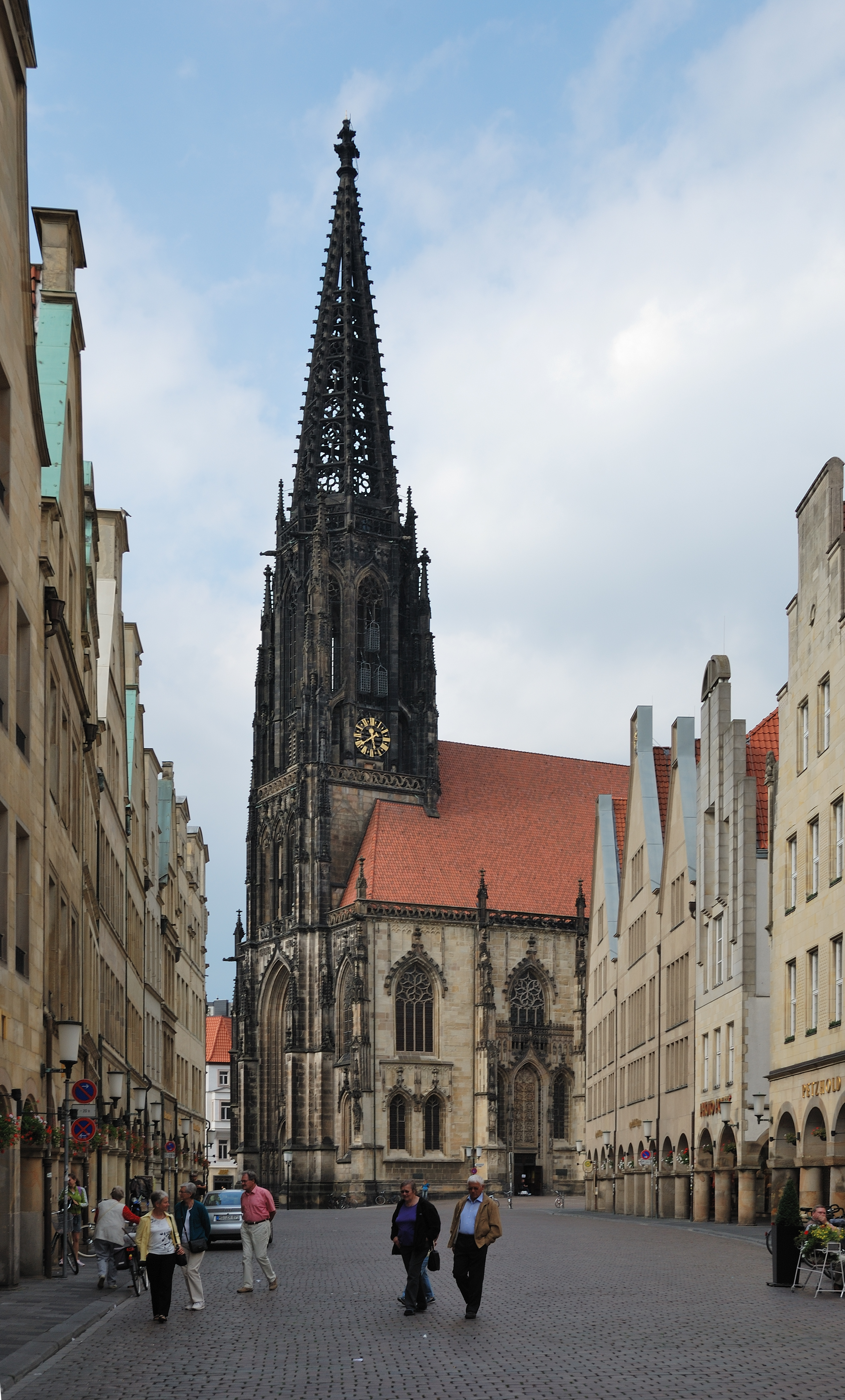
- city in North Rhine-Westphalia, Germany
Hiking in Münster
Hiking in Münster offers a delightful experience, combining beautiful landscapes, historical sites, and lush green parks. The area is characterized by its flat terrain, making it accessible for hikers of all skill levels. Here are some highlights for hiking in and around Münster:...
- Country:
- Postal Code: 48143–48167
- Local Dialing Code: 2536; 2534; 2533; 2506; 2501; 251
- Licence Plate Code: MS
- Coordinates: 51° 57' 45" N, 7° 37' 32" E
- GPS tracks (wikiloc): [Link]
- AboveSeaLevel: 60 м m
- Area: 303.28 sq km
- Population: 311846
- Web site: [Link]
Warendorf District
- district in North Rhine-Westphalia, Germany
Hiking in Warendorf District
Warendorf, located in the North Rhine-Westphalia region of Germany, is known for its picturesque landscapes, charming villages, and lush countryside, making it a delightful destination for hiking enthusiasts....
- Country:
- Licence Plate Code: WAF
- Coordinates: 51° 55' 12" N, 7° 55' 12" E
- GPS tracks (wikiloc): [Link]
- AboveSeaLevel: 65 м m
- Web site: [Link]


Osnabrück
- German city
Hiking in Osnabrück
Osnabrück, located in Lower Saxony, Germany, is a fantastic destination for hiking enthusiasts. The region is characterized by its varied landscapes, including forests, hills, and meadows, making it ideal for both casual walkers and more experienced hikers....
- Country:
- Postal Code: 49074–49090
- Local Dialing Code: 05407; 05406; 05402; 0541
- Licence Plate Code: OS
- Coordinates: 52° 16' 44" N, 8° 2' 35" E
- GPS tracks (wikiloc): [Link]
- AboveSeaLevel: 63 м m
- Area: 119.8 sq km
- Population: 164070
- Web site: [Link]

Emsland
- district in Lower Saxony, Germany
Hiking in Emsland
Emsland, located in Lower Saxony, Germany, is a fantastic region for hiking enthusiasts. Known for its wide-open landscapes and rich natural beauty, Emsland offers a variety of trails that cater to hikers of all levels....
- Country:
- Capital: Meppen
- Licence Plate Code: EL
- Coordinates: 52° 40' 12" N, 7° 15' 0" E
- GPS tracks (wikiloc): [Link]
- AboveSeaLevel: 25 м m
- Area: 2882.07 sq km
- Population: 321391
- Web site: [Link]


County of Bentheim
- district in Lower Saxony, Germany
Hiking in County of Bentheim
The County of Bentheim is located in the northwest of Germany, near the border with the Netherlands. It's known for its picturesque landscapes, charming villages, and rich cultural heritage, which makes it a wonderful location for hiking enthusiasts. Here’s an overview of what you can expect while hiking in this beautiful district:...
- Country:
- Capital: Nordhorn
- Licence Plate Code: NOH
- Coordinates: 52° 25' 12" N, 7° 4' 48" E
- GPS tracks (wikiloc): [Link]
- AboveSeaLevel: 17 м m
- Area: 981.00 sq km
- Population: 135770
- Web site: [Link]

Osnabrück
- district in Lower Saxony, Germany
Hiking in Osnabrück
Osnabrück district, located in Lower Saxony, Germany, offers a variety of hiking opportunities that cater to different skill levels and preferences. The region is characterized by its rolling hills, lush forests, and picturesque landscapes, making it an appealing destination for outdoor enthusiasts....
- Country:
- Capital: Osnabrück
- Licence Plate Code: OS
- Coordinates: 52° 19' 48" N, 8° 10' 12" E
- GPS tracks (wikiloc): [Link]
- AboveSeaLevel: 57 м m
- Area: 2122.00 sq km
- Population: 354807
- Web site: [Link]
Borken
- German district of North Rhine-Westphalia
Hiking in Borken
Borken is a district located in North Rhine-Westphalia, Germany, and it offers a variety of hiking opportunities for outdoor enthusiasts. The region is characterized by its diverse landscapes, which include forests, meadows, rivers, and a mix of natural and agricultural areas....
- Country:
- Licence Plate Code: BOR
- Coordinates: 51° 55' 0" N, 6° 55' 0" E
- GPS tracks (wikiloc): [Link]
- AboveSeaLevel: 65 м m
- Area: 1420.98 sq km
- Web site: [Link]

Coesfeld
- German district of North Rhine-Westphalia
Hiking in Coesfeld
Coesfeld district, located in the North Rhine-Westphalia region of Germany, is not as widely known for hiking as other parts of the country, but it offers several scenic trails and outdoor opportunities that can appeal to nature lovers and hikers. Here are some highlights:...
- Country:
- Licence Plate Code: COE
- Coordinates: 51° 52' 0" N, 7° 23' 0" E
- GPS tracks (wikiloc): [Link]
- AboveSeaLevel: 64 м m
- Web site: [Link]