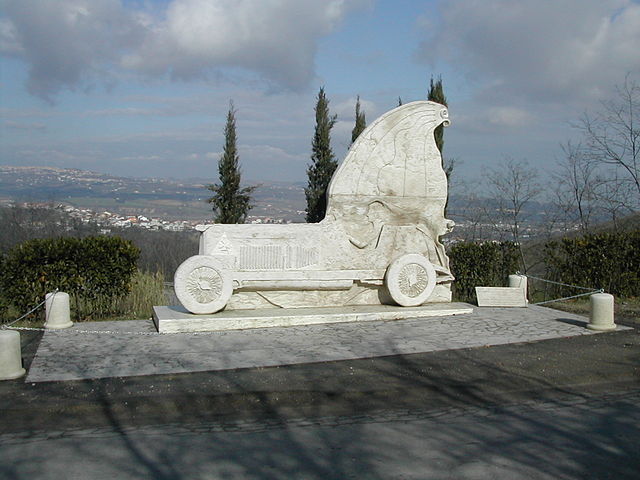
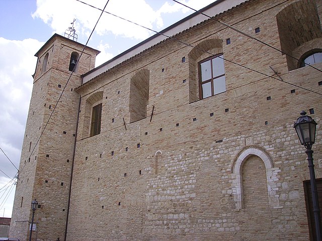
Collecorvino (Collecorvino)
.svg)
- Italian comune
 Hiking in Collecorvino
Collecorvino is a charming town located in the Abruzzo region of Italy, known for its scenic landscapes and outdoor activities, including hiking. The area surrounding Collecorvino offers beautiful trails that vary in difficulty, making it suitable for both beginner and experienced hikers.
Hiking Trails in Collecorvino:
-
Nature Trails: The region is rich with nature trails that wind through olive groves, vineyards, and rolling hills, providing picturesque views of the surrounding countryside. Many of these paths also offer opportunities to spot local wildlife and enjoy the diverse flora.
-
Gran Sasso e Monti della Laga National Park: Just a short drive from Collecorvino, this national park offers some of the best hiking in the region. Trails range from easy walks to challenging hikes, with options to explore high-altitude areas, picturesque lakes, and classic mountain landscapes.
-
Coastal Hiking: Collecorvino is not far from the Adriatic coast, allowing for beautiful coastal hikes. The nearby coastline features scenic paths that offer stunning views of the sea, as well as opportunities to visit charming seaside towns.
Tips for Hiking in Collecorvino:
-
Maps and Guides: Make sure to grab a map of the trails from local visitor centers or online resources. Having a detailed map can help you navigate the area safely.
-
Safety First: Always let someone know your hiking plans before setting out, especially if you’re heading into more remote areas. Carry a first-aid kit, enough water, and snacks.
-
Weather Conditions: Check the weather before your hike, as conditions can change rapidly in the mountains.
-
Footwear: Wear comfortable and appropriate footwear for hiking; sturdy hiking boots are ideal for rocky or uneven terrain.
-
Respect Nature: Follow the Leave No Trace principles to keep the trails and environment clean and undisturbed.
Conclusion
Hiking in and around Collecorvino offers a great opportunity to immerse yourself in the natural beauty of Abruzzo. Whether you're looking for leisurely walks or more strenuous hikes, the region has something for everyone. Enjoy your adventure in this beautiful part of Italy!
- Country:

- Postal Code: 65010
- Local Dialing Code: 085
- Licence Plate Code: PE
- Coordinates: 42° 28' 0" N, 14° 1' 0" E


- GPS tracks (wikiloc): [Link]
- AboveSeaLevel: 254 м m
- Area: 31.99 sq km
- Population: 6060
- Web site: http://comune.collecorvino.pe.it/
- Wikipedia en: wiki(en)
- Wikipedia: wiki(it)
- Wikidata storage: Wikidata: Q51359
- Wikipedia Commons Category: [Link]
- Freebase ID: [/m/0fg8m2]
- GeoNames ID: Alt: [6541214]
- OSM relation ID: [42034]
- UN/LOCODE: [ITCCV]
- ISTAT ID: 068015
- Italian cadastre code: C853
Shares border with regions:

Cappelle sul Tavo
- Italian comune
Hiking in Cappelle sul Tavo
Cappelle sul Tavo is a charming town located in the Abruzzo region of Italy, known for its beautiful landscapes and proximity to the Adriatic coast as well as the Apennine mountains. While Cappelle sul Tavo itself isn't a major hiking destination, it serves as a great base for exploring the surrounding natural areas that offer various hiking opportunities....
- Country:
- Postal Code: 65010
- Local Dialing Code: 085
- Licence Plate Code: PE
- Coordinates: 42° 28' 0" N, 14° 6' 0" E
- GPS tracks (wikiloc): [Link]
- AboveSeaLevel: 122 м m
- Area: 5.41 sq km
- Population: 4016
- Web site: [Link]


Città Sant'Angelo
- Italian comune
Hiking in Città Sant'Angelo
Città Sant'Angelo is a beautiful town located in the Abruzzo region of Italy, and it offers a variety of hiking opportunities for outdoor enthusiasts. Nestled in the hills of the Pescara province, it's known for its stunning landscapes, historic architecture, and charming medieval town center. Here are some key points about hiking in Città Sant'Angelo:...
- Country:
- Postal Code: 65013
- Local Dialing Code: 085
- Licence Plate Code: PE
- Coordinates: 42° 31' 0" N, 14° 3' 0" E
- GPS tracks (wikiloc): [Link]
- AboveSeaLevel: 322 м m
- Area: 62.02 sq km
- Population: 15034
- Web site: [Link]

Elice
- Italian comune
Hiking in Elice
Elice is a charming village located in the province of Pescara, in the Abruzzo region of Italy. It offers a variety of hiking opportunities, particularly for those who enjoy exploring lesser-known trails with scenic views of both the surrounding countryside and the Majella National Park nearby....
- Country:
- Postal Code: 65010
- Local Dialing Code: 085
- Licence Plate Code: PE
- Coordinates: 42° 31' 0" N, 13° 58' 0" E
- GPS tracks (wikiloc): [Link]
- AboveSeaLevel: 259 м m
- Area: 14.31 sq km
- Population: 1693
- Web site: [Link]


Loreto Aprutino
- Italian comune
Hiking in Loreto Aprutino
Loreto Aprutino is a charming town located in the Abruzzo region of Italy, known for its stunning landscapes, rolling hills, and proximity to both the mountains and the Adriatic coast. This area offers a variety of hiking opportunities suitable for different skill levels, all set against a backdrop of beautiful natural scenery and historical sites....
- Country:
- Postal Code: 65014
- Local Dialing Code: 085
- Licence Plate Code: PE
- Coordinates: 42° 26' 5" N, 13° 59' 1" E
- GPS tracks (wikiloc): [Link]
- AboveSeaLevel: 307 м m
- Area: 59.5 sq km
- Population: 7369
- Web site: [Link]

Moscufo
- Italian comune
Hiking in Moscufo
Moscufo is a picturesque village located in the Abruzzo region of Italy, near Pescara. While not as well-known for hiking as some other areas in Italy, it is surrounded by scenic landscapes, rolling hills, and natural beauty that can offer some interesting walking and hiking opportunities. Here are some aspects to consider if you’re planning to hike in or near Moscufo:...
- Country:
- Postal Code: 65010
- Local Dialing Code: 085
- Licence Plate Code: PE
- Coordinates: 42° 26' 0" N, 14° 3' 0" E
- GPS tracks (wikiloc): [Link]
- AboveSeaLevel: 246 м m
- Area: 20.26 sq km
- Population: 3168
- Web site: [Link]


Picciano
- Italian comune
Hiking in Picciano
Picciano, a charming village located in the Abruzzo region of Italy, offers a unique hiking experience amidst its stunning landscapes and rich historical context. Here are some key points to consider if you’re planning a hiking trip in Picciano:...
- Country:
- Postal Code: 65010
- Local Dialing Code: 085
- Licence Plate Code: PE
- Coordinates: 42° 28' 31" N, 13° 59' 24" E
- GPS tracks (wikiloc): [Link]
- AboveSeaLevel: 153 м m
- Area: 7.56 sq km
- Population: 1346
- Web site: [Link]