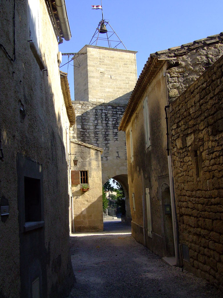
Congénies (Congénies)

- commune in Gard, France
- Country:

- Postal Code: 30111
- Coordinates: 43° 46' 42" N, 4° 9' 36" E


- GPS tracks (wikiloc): [Link]
- Area: 8.64 sq km
- Population: 1637
- Wikipedia en: wiki(en)
- Wikipedia: wiki(fr)
- Wikidata storage: Wikidata: Q274330
- Wikipedia Commons Category: [Link]
- Freebase ID: [/m/02858sp]
- GeoNames ID: Alt: [3023911]
- SIREN number: [213000912]
- BnF ID: [12162539r]
- VIAF ID: Alt: [309793490]
- WOEID: [586795]
- INSEE municipality code: 30091
Shares border with regions:

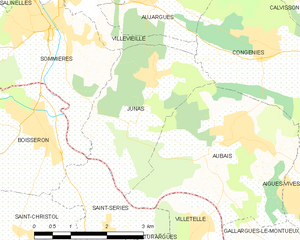
Junas
- commune in Gard, France
- Country:
- Postal Code: 30250
- Coordinates: 43° 46' 11" N, 4° 7' 22" E
- GPS tracks (wikiloc): [Link]
- Area: 7.75 sq km
- Population: 1070


Calvisson
- commune in Gard, France
- Country:
- Postal Code: 30420
- Coordinates: 43° 47' 6" N, 4° 11' 32" E
- GPS tracks (wikiloc): [Link]
- Area: 28.97 sq km
- Population: 5455
- Web site: [Link]

Villevieille
- commune in Gard, France
- Country:
- Postal Code: 30250
- Coordinates: 43° 47' 19" N, 4° 5' 47" E
- GPS tracks (wikiloc): [Link]
- Area: 8.28 sq km
- Population: 1697
- Web site: [Link]

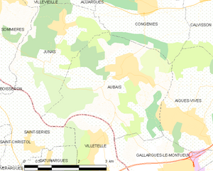
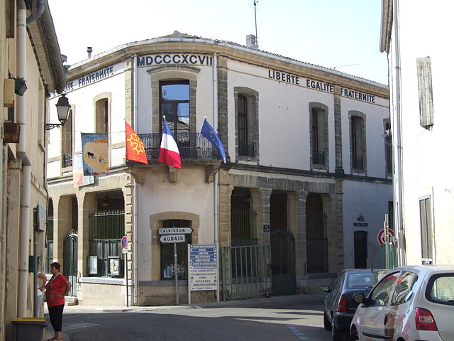
Aubais
- commune in Gard, France
- Country:
- Postal Code: 30250
- Coordinates: 43° 45' 18" N, 4° 8' 52" E
- GPS tracks (wikiloc): [Link]
- Area: 11.79 sq km
- Population: 2602
- Web site: [Link]


Aujargues
- commune in Gard, France
- Country:
- Postal Code: 30250
- Coordinates: 43° 47' 23" N, 4° 7' 23" E
- GPS tracks (wikiloc): [Link]
- Area: 6.85 sq km
- Population: 872
- Web site: [Link]

Aigues-Vives
- commune in Gard, France
- Country:
- Postal Code: 30670
- Coordinates: 43° 44' 22" N, 4° 10' 50" E
- GPS tracks (wikiloc): [Link]
- Area: 12 sq km
- Population: 3211
- Web site: [Link]