Crosses (Crosses)

- commune in Cher, France
- Country:

- Postal Code: 18340
- Coordinates: 47° 0' 39" N, 2° 34' 54" E


- GPS tracks (wikiloc): [Link]
- Area: 26.49 sq km
- Population: 380
- Web site: http://www.village-crosses.fr
- Wikipedia en: wiki(en)
- Wikipedia: wiki(fr)
- Wikidata storage: Wikidata: Q1139987
- Wikipedia Commons Category: [Link]
- Freebase ID: [/m/03mdpcd]
- GeoNames ID: Alt: [6447470]
- SIREN number: [211800818]
- BnF ID: [15249427b]
- VIAF ID: Alt: [63147118126926340049]
- INSEE municipality code: 18081
Shares border with regions:
Soye-en-Septaine
- commune in Cher, France
- Country:
- Postal Code: 18340
- Coordinates: 47° 1' 36" N, 2° 29' 21" E
- GPS tracks (wikiloc): [Link]
- Area: 18.57 sq km
- Population: 578

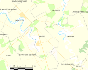
Annoix
- commune in Cher, France
- Country:
- Postal Code: 18340
- Coordinates: 46° 57' 37" N, 2° 32' 3" E
- GPS tracks (wikiloc): [Link]
- Area: 11.79 sq km
- Population: 234


Savigny-en-Septaine
- commune in Cher, France
- Country:
- Postal Code: 18390
- Coordinates: 47° 2' 39" N, 2° 33' 38" E
- GPS tracks (wikiloc): [Link]
- Area: 22.58 sq km
- Population: 697
Jussy-Champagne
- commune in Cher, France
- Country:
- Postal Code: 18130
- Coordinates: 46° 59' 8" N, 2° 38' 38" E
- GPS tracks (wikiloc): [Link]
- Area: 27.3 sq km
- Population: 193
Vornay
- commune in Cher, France
- Country:
- Postal Code: 18130
- Coordinates: 46° 58' 23" N, 2° 35' 0" E
- GPS tracks (wikiloc): [Link]
- Area: 26.35 sq km
- Population: 597
- Web site: [Link]
Saint-Just
- commune in Cher, France
- Country:
- Postal Code: 18340
- Coordinates: 46° 59' 35" N, 2° 30' 32" E
- GPS tracks (wikiloc): [Link]
- Area: 15.12 sq km
- Population: 629
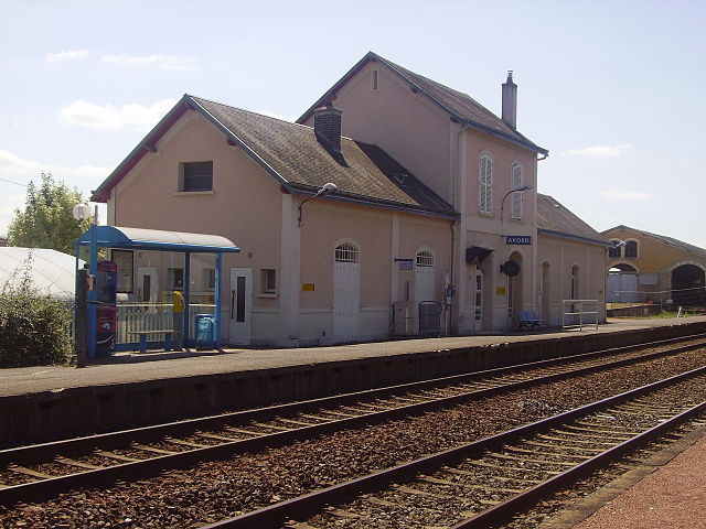
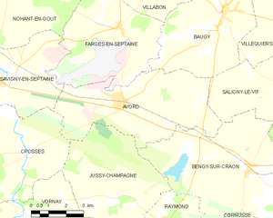
Avord
- commune in Cher, France
- Country:
- Postal Code: 18520
- Coordinates: 47° 1' 59" N, 2° 39' 12" E
- GPS tracks (wikiloc): [Link]
- Area: 27.98 sq km
- Population: 2616
- Web site: [Link]