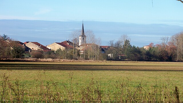
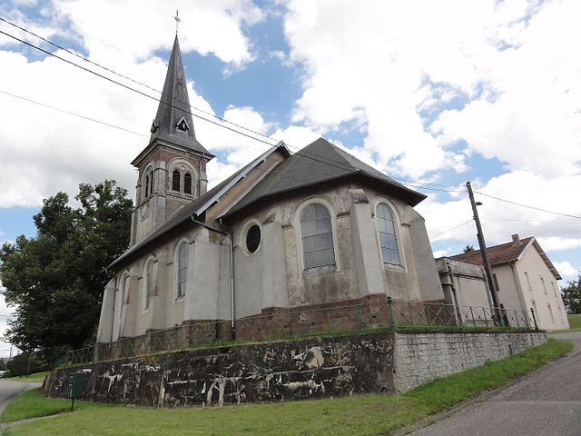
Domjevin (Domjevin)

- commune in Meurthe-et-Moselle, France
- Country:

- Postal Code: 54450
- Coordinates: 48° 34' 34" N, 6° 41' 48" E


- GPS tracks (wikiloc): [Link]
- Area: 10.28 sq km
- Population: 255
- Wikipedia en: wiki(en)
- Wikipedia: wiki(fr)
- Wikidata storage: Wikidata: Q988239
- Wikipedia Commons Category: [Link]
- Freebase ID: [/m/03qdgmd]
- Freebase ID: [/m/03qdgmd]
- GeoNames ID: Alt: [3021184]
- GeoNames ID: Alt: [3021184]
- SIREN number: [215401639]
- SIREN number: [215401639]
- BnF ID: [15264232k]
- BnF ID: [15264232k]
- INSEE municipality code: 54163
- INSEE municipality code: 54163
Shares border with regions:

Bénaménil
- commune in Meurthe-et-Moselle, France
- Country:
- Postal Code: 54450
- Coordinates: 48° 34' 12" N, 6° 40' 25" E
- GPS tracks (wikiloc): [Link]
- Area: 9.38 sq km
- Population: 577


Vého
- commune in Meurthe-et-Moselle, France
- Country:
- Postal Code: 54450
- Coordinates: 48° 35' 48" N, 6° 42' 39" E
- GPS tracks (wikiloc): [Link]
- Area: 7.74 sq km
- Population: 97

Blémerey
- commune in Meurthe-et-Moselle, France
- Country:
- Postal Code: 54450
- Coordinates: 48° 34' 59" N, 6° 44' 4" E
- GPS tracks (wikiloc): [Link]
- AboveSeaLevel: 266 м m
- Area: 3.82 sq km
- Population: 67


Emberménil
- commune in Meurthe-et-Moselle, France
- Country:
- Postal Code: 54370
- Coordinates: 48° 37' 45" N, 6° 41' 45" E
- GPS tracks (wikiloc): [Link]
- Area: 14.39 sq km
- Population: 263


Fréménil
- commune in Meurthe-et-Moselle, France
- Country:
- Postal Code: 54450
- Coordinates: 48° 33' 55" N, 6° 42' 46" E
- GPS tracks (wikiloc): [Link]
- Area: 3.04 sq km
- Population: 226


Manonviller
- commune in Meurthe-et-Moselle, France
- Country:
- Postal Code: 54300
- Coordinates: 48° 35' 0" N, 6° 39' 3" E
- GPS tracks (wikiloc): [Link]
- Area: 6.98 sq km
- Population: 171


Reillon
- commune in Meurthe-et-Moselle, France
- Country:
- Postal Code: 54450
- Coordinates: 48° 35' 54" N, 6° 44' 36" E
- GPS tracks (wikiloc): [Link]
- AboveSeaLevel: 269 м m
- Area: 4.39 sq km
- Population: 78