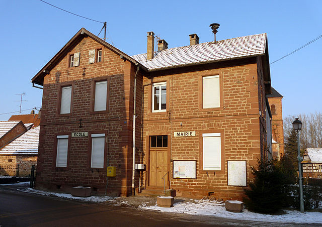
Drachenbronn-Birlenbach (Drachenbronn-Birlenbach)

- commune in Bas-Rhin, France
- Country:

- Postal Code: 67160
- Coordinates: 48° 59' 11" N, 7° 52' 13" E


- GPS tracks (wikiloc): [Link]
- Area: 7.13 sq km
- Population: 836
- Web site: http://www.drachenbronn-birlenbach.fr
- Wikipedia en: wiki(en)
- Wikipedia: wiki(fr)
- Wikidata storage: Wikidata: Q21233
- Wikipedia Commons Category: [Link]
- Freebase ID: [/m/03m97dd]
- Freebase ID: [/m/03m97dd]
- Freebase ID: [/m/03m97dd]
- GeoNames ID: Alt: [3020860]
- GeoNames ID: Alt: [3020860]
- GeoNames ID: Alt: [3020860]
- SIREN number: [216701045]
- SIREN number: [216701045]
- SIREN number: [216701045]
- BnF ID: [152712473]
- BnF ID: [152712473]
- BnF ID: [152712473]
- VIAF ID: Alt: [246947003]
- VIAF ID: Alt: [246947003]
- VIAF ID: Alt: [246947003]
- Library of Congress authority ID: Alt: [no2001040309]
- Library of Congress authority ID: Alt: [no2001040309]
- Library of Congress authority ID: Alt: [no2001040309]
- INSEE municipality code: 67104
- INSEE municipality code: 67104
- INSEE municipality code: 67104
Shares border with regions:


Keffenach
- commune in Bas-Rhin, France
- Country:
- Postal Code: 67250
- Coordinates: 48° 57' 53" N, 7° 52' 56" E
- GPS tracks (wikiloc): [Link]
- Area: 2.39 sq km
- Population: 189


Cleebourg
- commune in Bas-Rhin, France
- Country:
- Postal Code: 67160
- Coordinates: 49° 0' 13" N, 7° 53' 28" E
- GPS tracks (wikiloc): [Link]
- Area: 10.59 sq km
- Population: 712

Ingolsheim
- commune in Bas-Rhin, France
- Country:
- Postal Code: 67250
- Coordinates: 48° 58' 27" N, 7° 56' 13" E
- GPS tracks (wikiloc): [Link]
- Area: 4.46 sq km
- Population: 294
- Web site: [Link]


Hunspach
- commune in Bas-Rhin, France
- Country:
- Postal Code: 67250
- Local Dialing Code: 388
- Coordinates: 48° 57' 11" N, 7° 56' 32" E
- GPS tracks (wikiloc): [Link]
- Area: 5.49 sq km
- Population: 637


Soultz-sous-Forêts
- commune in Bas-Rhin, France
- Country:
- Postal Code: 67250
- Coordinates: 48° 56' 19" N, 7° 52' 50" E
- GPS tracks (wikiloc): [Link]
- Area: 15.15 sq km
- Population: 3127
- Web site: [Link]