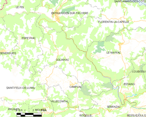
Florentin-la-Capelle (Florentin-la-Capelle)

- commune in Aveyron, France
- Country:

- Postal Code: 12140
- Coordinates: 44° 37' 49" N, 2° 37' 55" E


- GPS tracks (wikiloc): [Link]
- Area: 36.8 sq km
- Population: 283
- Web site: http://www.florentinlacapelle12.fr
- Wikipedia en: wiki(en)
- Wikipedia: wiki(fr)
- Wikidata storage: Wikidata: Q1153380
- Wikipedia Commons Category: [Link]
- Freebase ID: [/m/03m93xw]
- GeoNames ID: Alt: [6426930]
- SIREN number: [211201033]
- BnF ID: [152470790]
- PACTOLS thesaurus ID: [pcrtzby6c703pb]
- INSEE municipality code: 12103
Shares border with regions:


Campouriez
- commune in Aveyron, France
- Country:
- Postal Code: 12140
- Coordinates: 44° 41' 22" N, 2° 36' 23" E
- GPS tracks (wikiloc): [Link]
- Area: 18.38 sq km
- Population: 359
- Web site: [Link]


Le Nayrac
- commune in Aveyron, France
- Country:
- Postal Code: 12190
- Coordinates: 44° 36' 47" N, 2° 39' 47" E
- GPS tracks (wikiloc): [Link]
- Area: 36.57 sq km
- Population: 522


Saint-Amans-des-Cots
- commune in Aveyron, France
- Country:
- Postal Code: 12460
- Coordinates: 44° 41' 21" N, 2° 39' 34" E
- GPS tracks (wikiloc): [Link]
- Area: 41.51 sq km
- Population: 763


Montpeyroux
- commune in Aveyron, France
- Country:
- Postal Code: 12210
- Coordinates: 44° 38' 24" N, 2° 48' 39" E
- GPS tracks (wikiloc): [Link]
- Area: 61.71 sq km
- Population: 547
- Web site: [Link]

Golinhac
- commune in Aveyron, France
- Country:
- Postal Code: 12140
- Coordinates: 44° 36' 16" N, 2° 35' 1" E
- GPS tracks (wikiloc): [Link]
- Area: 32.41 sq km
- Population: 356
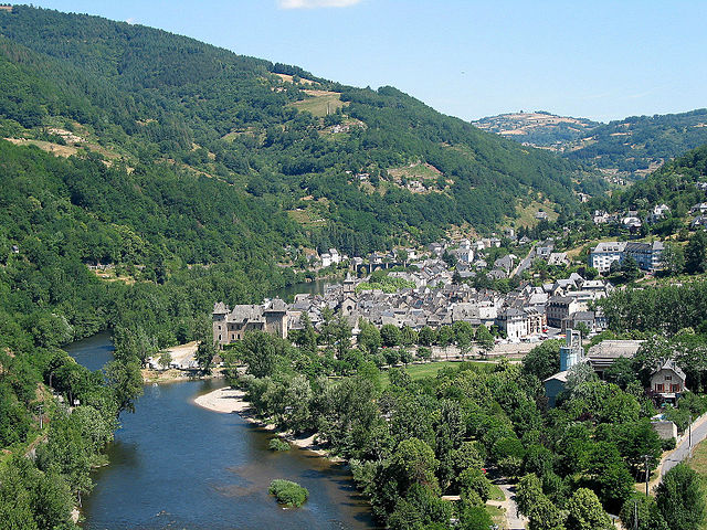
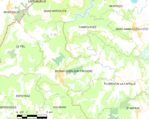
Entraygues-sur-Truyère
- commune in Aveyron, France
- Country:
- Postal Code: 12140
- Coordinates: 44° 38' 47" N, 2° 34' 1" E
- GPS tracks (wikiloc): [Link]
- Area: 30.15 sq km
- Population: 1038