Fontenoy-la-Joûte (Fontenoy-la-Joûte)

- commune in Meurthe-et-Moselle, France
- Country:

- Postal Code: 54122
- Coordinates: 48° 27' 20" N, 6° 39' 34" E


- GPS tracks (wikiloc): [Link]
- Area: 10.89 sq km
- Population: 300
- Web site: http://www.fontenoy-la-joute.com
- Wikipedia en: wiki(en)
- Wikipedia: wiki(fr)
- Wikidata storage: Wikidata: Q633224
- Wikipedia Commons Category: [Link]
- Freebase ID: [/m/0fzwx6]
- Freebase ID: [/m/0fzwx6]
- GeoNames ID: Alt: [6436608]
- GeoNames ID: Alt: [6436608]
- SIREN number: [215402017]
- SIREN number: [215402017]
- BnF ID: [152642704]
- BnF ID: [152642704]
- INSEE municipality code: 54201
- INSEE municipality code: 54201
Shares border with regions:


Moyen
- commune in Meurthe-et-Moselle, France
- Country:
- Postal Code: 54118
- Coordinates: 48° 29' 1" N, 6° 34' 9" E
- GPS tracks (wikiloc): [Link]
- Area: 23.57 sq km
- Population: 539

Flin
- commune in Meurthe-et-Moselle, France
- Country:
- Postal Code: 54122
- Coordinates: 48° 29' 51" N, 6° 39' 18" E
- GPS tracks (wikiloc): [Link]
- AboveSeaLevel: 252 м m
- Area: 11.64 sq km
- Population: 373


Domptail
- commune in Vosges, France
- Country:
- Postal Code: 88700
- Coordinates: 48° 26' 48" N, 6° 36' 58" E
- GPS tracks (wikiloc): [Link]
- Area: 18.63 sq km
- Population: 356

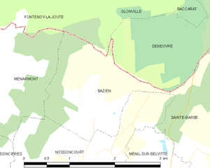
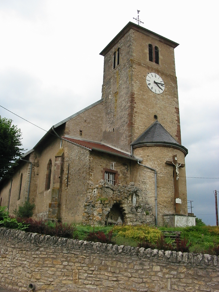
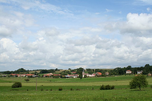
Bazien
- commune in Vosges, France
- Country:
- Postal Code: 88700
- Coordinates: 48° 24' 41" N, 6° 40' 37" E
- GPS tracks (wikiloc): [Link]
- Area: 3.21 sq km
- Population: 79

Ménarmont
- commune in Vosges, France
- Country:
- Postal Code: 88700
- Coordinates: 48° 25' 15" N, 6° 38' 35" E
- GPS tracks (wikiloc): [Link]
- Area: 5.24 sq km
- Population: 69

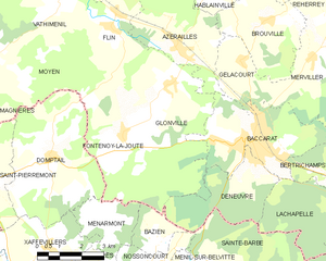
Glonville
- commune in Meurthe-et-Moselle, France
- Country:
- Postal Code: 54122
- Coordinates: 48° 28' 27" N, 6° 41' 25" E
- GPS tracks (wikiloc): [Link]
- Area: 18.58 sq km
- Population: 348