canton of Baccarat (canton de Baccarat)
- canton of France
- Country:

- Capital: Baccarat
- Coordinates: 48° 28' 48" N, 6° 45' 3" E


- GPS tracks (wikiloc): [Link]
- Population: 27549
- Wikipedia en: wiki(en)
- Wikipedia: wiki(fr)
- Wikidata storage: Wikidata: Q1724343
- Library of Congress authority ID: Alt: [n89123189]
- INSEE canton code: [5401]
Includes regions:

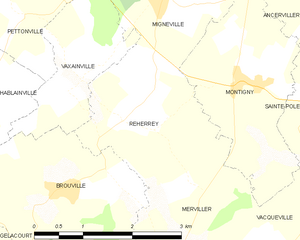
Reherrey
- commune in Meurthe-et-Moselle, France
- Country:

- Postal Code: 54120
- Coordinates: 48° 30' 33" N, 6° 46' 1" E


- GPS tracks (wikiloc): [Link]
- Area: 5.87 sq km
- Population: 120

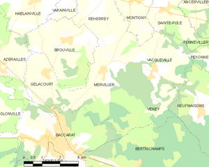
Merviller
- commune in Meurthe-et-Moselle, France
- Country:

- Postal Code: 54120
- Coordinates: 48° 28' 54" N, 6° 46' 30" E


- GPS tracks (wikiloc): [Link]
- Area: 12.4 sq km
- Population: 355


Mignéville
- commune in Meurthe-et-Moselle, France
- Country:

- Postal Code: 54540
- Coordinates: 48° 31' 58" N, 6° 46' 46" E


- GPS tracks (wikiloc): [Link]
- Area: 6.44 sq km
- Population: 193


Pettonville
- commune in Meurthe-et-Moselle, France
- Country:

- Postal Code: 54120
- Coordinates: 48° 31' 44" N, 6° 44' 31" E


- GPS tracks (wikiloc): [Link]
- Area: 2.92 sq km
- Population: 65


Gélacourt
- commune in Meurthe-et-Moselle, France
- Country:

- Postal Code: 54120
- Coordinates: 48° 27' 19" N, 5° 59' 25" E


- GPS tracks (wikiloc): [Link]
- Area: 4.78 sq km
- Population: 168
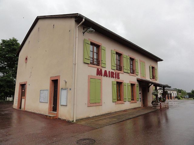

Lachapelle
- commune in Meurthe-et-Moselle, France
- Country:

- Postal Code: 54120
- Coordinates: 48° 25' 9" N, 6° 47' 23" E


- GPS tracks (wikiloc): [Link]
- AboveSeaLevel: 284 м m
- Area: 10.17 sq km
- Population: 271
- Web site: [Link]


Vaxainville
- commune in Meurthe-et-Moselle, France
- Country:

- Postal Code: 54120
- Coordinates: 48° 30' 57" N, 6° 45' 15" E


- GPS tracks (wikiloc): [Link]
- Area: 3.59 sq km
- Population: 100
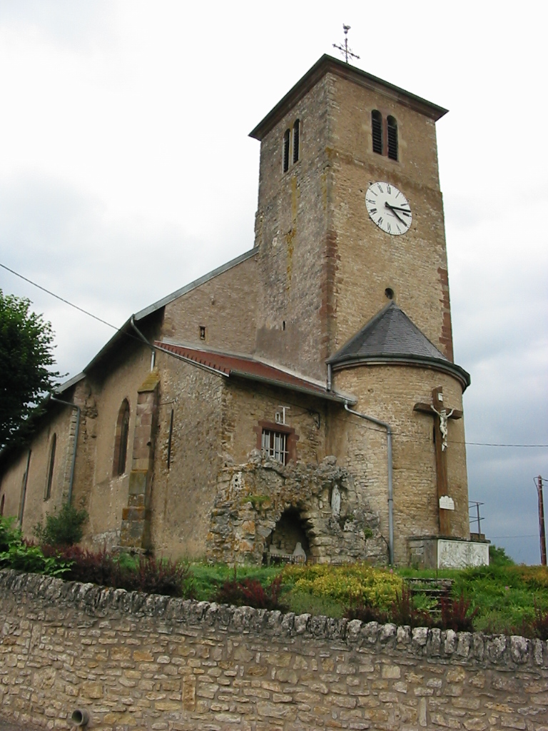

Flin
- commune in Meurthe-et-Moselle, France
- Country:

- Postal Code: 54122
- Coordinates: 48° 29' 51" N, 6° 39' 18" E


- GPS tracks (wikiloc): [Link]
- AboveSeaLevel: 252 м m
- Area: 11.64 sq km
- Population: 373


Vacqueville
- commune in Meurthe-et-Moselle, France
- Country:

- Postal Code: 54540
- Coordinates: 48° 28' 53" N, 6° 48' 51" E


- GPS tracks (wikiloc): [Link]
- Area: 9.96 sq km
- Population: 245


Azerailles
- commune in Meurthe-et-Moselle, France
- Country:

- Postal Code: 54122
- Coordinates: 48° 29' 17" N, 6° 41' 40" E


- GPS tracks (wikiloc): [Link]
- Area: 14 sq km
- Population: 789
- Web site: [Link]

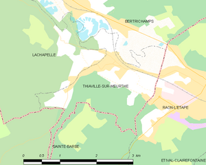
Thiaville-sur-Meurthe
- commune in Meurthe-et-Moselle, France
- Country:

- Postal Code: 54120
- Coordinates: 48° 24' 45" N, 6° 48' 30" E


- GPS tracks (wikiloc): [Link]
- Area: 4.47 sq km
- Population: 562
- Web site: [Link]
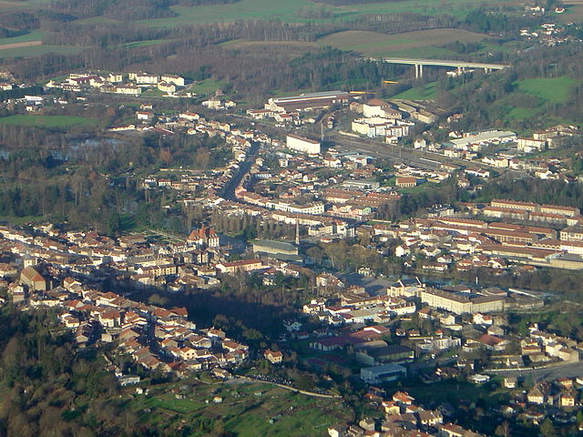

Baccarat
- commune in Meurthe-et-Moselle, France
- Country:

- Postal Code: 54120
- Coordinates: 48° 26' 55" N, 6° 44' 17" E


- GPS tracks (wikiloc): [Link]
- AboveSeaLevel: 275 м m
- Area: 13.53 sq km
- Population: 4540
- Web site: [Link]


Fontenoy-la-Joûte
- commune in Meurthe-et-Moselle, France
- Country:

- Postal Code: 54122
- Coordinates: 48° 27' 20" N, 6° 39' 34" E


- GPS tracks (wikiloc): [Link]
- Area: 10.89 sq km
- Population: 300
- Web site: [Link]

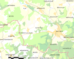
Glonville
- commune in Meurthe-et-Moselle, France
- Country:

- Postal Code: 54122
- Coordinates: 48° 28' 27" N, 6° 41' 25" E


- GPS tracks (wikiloc): [Link]
- Area: 18.58 sq km
- Population: 348


Deneuvre
- commune in Meurthe-et-Moselle, France
- Country:

- Postal Code: 54120
- Coordinates: 48° 26' 36" N, 6° 44' 11" E


- GPS tracks (wikiloc): [Link]
- Area: 9.7 sq km
- Population: 535

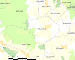
Hablainville
- commune in Meurthe-et-Moselle, France
- Country:

- Postal Code: 54120
- Coordinates: 48° 31' 3" N, 6° 43' 42" E


- GPS tracks (wikiloc): [Link]
- Area: 7.59 sq km
- Population: 221


Brouville
- commune in Meurthe-et-Moselle, France
- Country:

- Postal Code: 54120
- Coordinates: 48° 29' 53" N, 6° 45' 1" E


- GPS tracks (wikiloc): [Link]
- Area: 9.7 sq km
- Population: 133

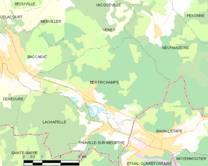
Bertrichamps
- commune in Meurthe-et-Moselle, France
- Country:

- Postal Code: 54120
- Coordinates: 48° 25' 45" N, 6° 47' 38" E


- GPS tracks (wikiloc): [Link]
- Area: 19.66 sq km
- Population: 1087
