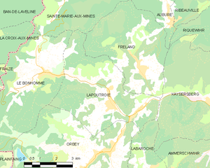
Fréland (Fréland)

- commune in Haut-Rhin, France
- Country:

- Postal Code: 68240
- Coordinates: 48° 10' 16" N, 7° 11' 38" E


- GPS tracks (wikiloc): [Link]
- Area: 19.74 sq km
- Population: 1367
- Wikipedia en: wiki(en)
- Wikipedia: wiki(fr)
- Wikidata storage: Wikidata: Q381604
- Wikipedia Commons Category: [Link]
- Freebase ID: [/m/03nssfs]
- Freebase ID: [/m/03nssfs]
- GeoNames ID: Alt: [3017249]
- GeoNames ID: Alt: [3017249]
- SIREN number: [216800979]
- SIREN number: [216800979]
- BnF ID: [11963778p]
- BnF ID: [11963778p]
- VIAF ID: Alt: [128283248]
- VIAF ID: Alt: [128283248]
- Library of Congress authority ID: Alt: [nr93050706]
- Library of Congress authority ID: Alt: [nr93050706]
- INSEE municipality code: 68097
- INSEE municipality code: 68097
Shares border with regions:

Lapoutroie
- commune in Haut-Rhin, France
- Country:
- Postal Code: 68650
- Coordinates: 48° 9' 9" N, 7° 10' 10" E
- GPS tracks (wikiloc): [Link]
- Area: 21.12 sq km
- Population: 1894
- Web site: [Link]

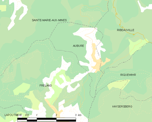
Aubure
- commune in Haut-Rhin, France
- Country:
- Postal Code: 68150
- Coordinates: 48° 11' 50" N, 7° 13' 17" E
- GPS tracks (wikiloc): [Link]
- Area: 4.9 sq km
- Population: 356
- Web site: [Link]


Sainte-Marie-aux-Mines
- commune in Haut-Rhin, France
- Country:
- Postal Code: 68160
- Coordinates: 48° 14' 48" N, 7° 11' 2" E
- GPS tracks (wikiloc): [Link]
- Area: 45.23 sq km
- Population: 5136
- Web site: [Link]


Kaysersberg
- former commune in Haut-Rhin, France
- Country:
- Postal Code: 68240
- Coordinates: 48° 8' 21" N, 7° 15' 39" E
- GPS tracks (wikiloc): [Link]
- AboveSeaLevel: 240 м m
- Area: 24.82 sq km
- Population: 2703
- Web site: [Link]