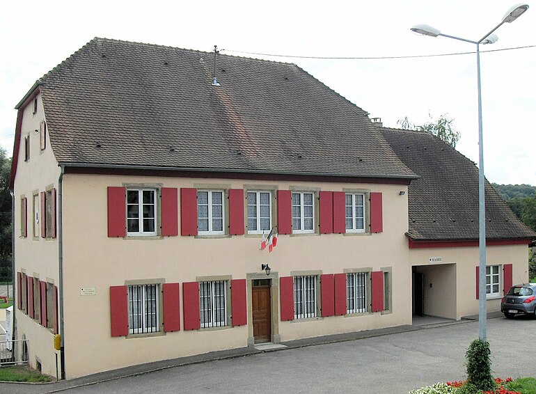
Hausgauen (Hausgauen)
- commune in Haut-Rhin, France
Hausgauen, located in the picturesque region of Germany, offers a variety of hiking opportunities suitable for different skill levels. This area is known for its stunning landscapes, including lush forests, rolling hills, and scenic views, making it a great destination for nature enthusiasts.
Popular Hiking Trails:
-
The Hausgauen Panorama Trail: This trail provides breathtaking views of the surrounding mountains and valleys. It's moderately challenging, taking you through scenic landscapes and offering plenty of opportunities for photography.
-
Forest Loop Trail: A shorter, easier hike that winds through dense forests, making it ideal for families and beginner hikers. Along this trail, you can enjoy the sights and sounds of nature while keeping an eye out for local wildlife.
-
Historic Route: This trail combines hiking with cultural exploration, leading you past historical landmarks and sites of interest. It's a great way to learn about the region's history while enjoying the outdoors.
Preparation Tips:
- Weather Considerations: Always check the weather before heading out, as conditions can change rapidly in mountainous areas. Dress in layers and be prepared for rain.
- Gear Up: Comfortable hiking boots, a sturdy backpack, plenty of water, snacks, and a map or GPS device are essential for any hike.
- Safety: Let someone know your planned route and expected return time. Carry a first aid kit and familiarize yourself with basic wilderness navigation.
Local Amenities:
Many towns around Hausgauen offer various lodging options, from hotels to cozy guesthouses. Dining options often feature local cuisine, and some places provide packed meals for hikers.
Best Time to Visit:
The best times for hiking in Hausgauen are late spring through early autumn, when the weather is mild, and the trails are well-maintained. Fall also offers beautiful foliage for a picturesque hiking experience.
Hiking in Hausgauen can be a rewarding experience, offering a perfect blend of natural beauty, physical activity, and cultural exploration. Enjoy your time on the trails!
- Country:

- Postal Code: 68130
- Coordinates: 47° 36' 16" N, 7° 19' 23" E


- GPS tracks (wikiloc): [Link]
- Area: 5.79 sq km
- Population: 398
- Wikipedia en: wiki(en)
- Wikipedia: wiki(fr)
- Wikidata storage: Wikidata: Q325008
- Wikipedia Commons Category: [Link]
- Freebase ID: [/m/03nsspb]
- Freebase ID: [/m/03nsspb]
- GeoNames ID: Alt: [6441456]
- GeoNames ID: Alt: [6441456]
- SIREN number: [216801241]
- SIREN number: [216801241]
- BnF ID: [15271826s]
- BnF ID: [15271826s]
- INSEE municipality code: 68124
- INSEE municipality code: 68124
Shares border with regions:


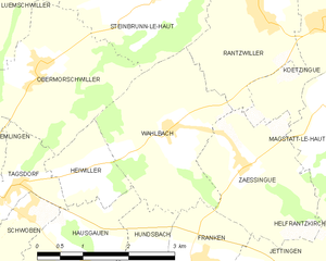
Wahlbach
- commune in Haut-Rhin, France
Wahlbach is a small village located in the Haut-Rhin department of the Alsace region in northeastern France. The area surrounding Wahlbach offers beautiful hiking opportunities, showcasing the unique landscapes of the Vosges mountains and the rich natural beauty of Alsace....
- Country:

- Postal Code: 68130
- Coordinates: 47° 37' 52" N, 7° 20' 49" E


- GPS tracks (wikiloc): [Link]
- Area: 6.41 sq km
- Population: 504


Heiwiller
- commune in Haut-Rhin, France
Heiwiller is a small village located in the Alsace region of France, known for its picturesque landscapes and proximity to the Vosges mountains. Hiking in and around Heiwiller offers a wonderful opportunity to explore the natural beauty of this area....
- Country:

- Postal Code: 68130
- Coordinates: 47° 37' 26" N, 7° 19' 12" E


- GPS tracks (wikiloc): [Link]
- Area: 2.04 sq km
- Population: 175


Bettendorf
- commune in Haut-Rhin, France
Bettendorf, located in the Haut-Rhin department of the Alsace region in France, offers beautiful landscapes and hiking opportunities. Surrounded by rolling hills, vineyards, and picturesque villages, this area is a great destination for both beginner and experienced hikers....
- Country:

- Postal Code: 68560
- Coordinates: 47° 35' 2" N, 7° 16' 36" E


- GPS tracks (wikiloc): [Link]
- Area: 4.73 sq km
- Population: 461


Willer
- commune in Haut-Rhin, France
Willer, a small community nestled in a scenic area, offers a variety of hiking opportunities that cater to different skill levels. While specific trails and conditions may vary, here are some key points to consider for hiking in or around Willer:...
- Country:

- Postal Code: 68960
- Coordinates: 47° 35' 9" N, 7° 19' 11" E


- GPS tracks (wikiloc): [Link]
- Area: 6.21 sq km
- Population: 324


Schwoben
- commune in Haut-Rhin, France
Schwoben appears to be a lesser-known location and may not have extensive hiking information readily available. However, if you’re considering hiking in the broader region of Schwaben (Swabia) in Germany, I can provide some details....
- Country:

- Postal Code: 68130
- Coordinates: 47° 36' 58" N, 7° 18' 14" E


- GPS tracks (wikiloc): [Link]
- Area: 2.38 sq km
- Population: 226


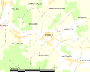
Tagsdorf
- commune in Haut-Rhin, France
Tagsdorf, while not a widely recognized hiking destination, is a small village in the Alsace region of France, near the German border. This area of Alsace is known for its picturesque landscapes, charming vineyards, and rolling hills, making it a lovely location for hiking enthusiasts looking to explore the natural beauty of the region....
- Country:

- Postal Code: 68130
- Coordinates: 47° 37' 17" N, 7° 18' 6" E


- GPS tracks (wikiloc): [Link]
- Area: 2.5 sq km
- Population: 300


Hundsbach
- commune in Haut-Rhin, France
Hundsbach, located in the Haut-Rhin department of the Grand Est region in France, offers a scenic backdrop for hiking enthusiasts. Nestled in the heart of the Alsace region, it's characterized by rolling hills, lush forests, and charming vineyards....
- Country:

- Postal Code: 68130
- Coordinates: 47° 36' 10" N, 7° 20' 1" E


- GPS tracks (wikiloc): [Link]
- Area: 4.03 sq km
- Population: 344

