
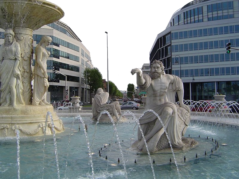
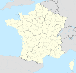
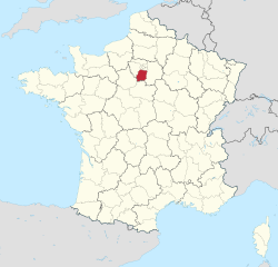
Hauts-de-Seine (Hauts-de-Seine)
.svg)
- French department
- Country:

- Capital: Nanterre
- Coordinates: 48° 50' 0" N, 2° 12' 0" E


- GPS tracks (wikiloc): [Link]
- Area: 176 sq km
- Population: 1601569
- Web site: http://www.hauts-de-seine.pref.gouv.fr/
- Wikipedia en: wiki(en)
- Wikipedia: wiki(fr)
- Wikidata storage: Wikidata: Q12543
- Wikipedia Commons Gallery: [Link]
- Wikipedia Commons Category: [Link]
- Wikipedia Commons Maps Category: [Link]
- Freebase ID: [/m/0g3qq]
- GeoNames ID: Alt: [3013657]
- SIREN number: [229200506]
- BnF ID: [118642969]
- VIAF ID: Alt: [133239706]
- OSM relation ID: [7449]
- GND ID: Alt: [4341622-6]
- archINFORM location ID: [3266]
- Library of Congress authority ID: Alt: [n82053193]
- PACTOLS thesaurus ID: [pcrtUEAcITFX7W]
- MusicBrainz area ID: [d93990a0-dd5c-4d0f-a423-0cbbf2bb93a4]
- TGN ID: [7017032]
- SUDOC authorities ID: [026385392]
- Encyclopædia Britannica Online ID: [place/Hauts-de-Seine]
- Gran Enciclopèdia Catalana ID: [0003165]
- data.gouv.fr org ID: [hauts-de-seine-le-departement]
- NUTS code: [FR105]
- INSEE department code: [92]
- ISO 3166-2 code: FR-92
Includes regions:


Colombes
- commune in Hauts-de-Seine, France
- Country:
- Postal Code: 92700
- Coordinates: 48° 55' 25" N, 2° 15' 8" E
- GPS tracks (wikiloc): [Link]
- Area: 7.81 sq km
- Population: 85199
- Web site: [Link]


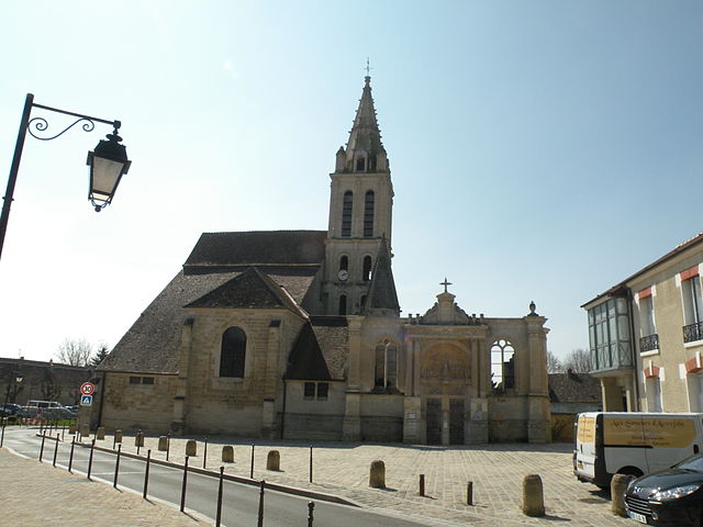
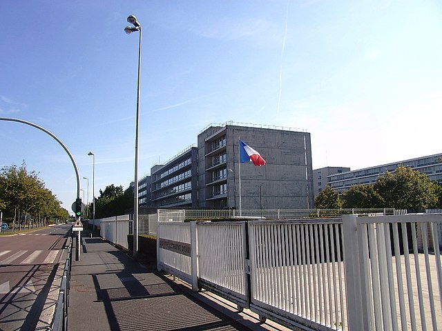
arrondissement of Nanterre
- arrondissement of France
- Country:
- Capital: Nanterre
- Coordinates: 48° 53' 40" N, 2° 12' 12" E
- GPS tracks (wikiloc): [Link]
- Population: 889155


arrondissement of Boulogne-Billancourt
- arrondissement of France
- Country:
- Capital: Boulogne-Billancourt
- Coordinates: 48° 50' 9" N, 2° 14' 18" E
- GPS tracks (wikiloc): [Link]
- Area: 46 sq km
- Population: 316653

arrondissement of Antony
- arrondissement of France
- Country:
- Capital: Antony
- Coordinates: 48° 45' 42" N, 2° 18' 2" E
- GPS tracks (wikiloc): [Link]
- Area: 49 sq km
- Population: 395761
Shares border with regions:


Seine-Saint-Denis
- département of France in the Greater Paris area
- Country:
- Capital: Bobigny
- Coordinates: 48° 54' 0" N, 2° 29' 0" E
- GPS tracks (wikiloc): [Link]
- Area: 236 sq km
- Population: 1592663
- Web site: [Link]

Val-d’Oise
- French department
- Country:
- Capital: Cergy
- Coordinates: 49° 3' 43" N, 2° 5' 10" E
- GPS tracks (wikiloc): [Link]
- Area: 1246 sq km
- Population: 1215390
- Web site: [Link]

Val-de-Marne
- French department
- Country:
- Capital: Créteil
- Coordinates: 48° 45' 0" N, 2° 25' 0" E
- GPS tracks (wikiloc): [Link]
- Area: 245 sq km
- Population: 1372389
- Web site: [Link]


Yvelines
- French department
- Country:
- Capital: Versailles
- Coordinates: 48° 50' 0" N, 1° 55' 0" E
- GPS tracks (wikiloc): [Link]
- Area: 2284 sq km
- Population: 1427291
- Web site: [Link]
Essonne
- French department
- Country:
- Capital: Évry
- Coordinates: 48° 30' 0" N, 2° 17' 0" E
- GPS tracks (wikiloc): [Link]
- Area: 1804 sq km
- Population: 1276233
- Web site: [Link]

Paris
- capital and largest city of France
- Country:
- Postal Code: 75020; 75019; 75018; 75017; 75016; 75015; 75014; 75013; 75012; 75011; 75010; 75009; 75008; 75007; 75006; 75005; 75004; 75003; 75002; 75001; 75116
- Local Dialing Code: 1
- Licence Plate Code: 75
- Coordinates: 48° 51' 24" N, 2° 21' 7" E
- GPS tracks (wikiloc): [Link]
- AboveSeaLevel: 28 м m
- Area: 105.4 sq km
- Population: 2206488
- Web site: [Link]