arrondissement of Nanterre (arrondissement de Nanterre)

- arrondissement of France
- Country:

- Capital: Nanterre
- Coordinates: 48° 53' 40" N, 2° 12' 12" E


- GPS tracks (wikiloc): [Link]
- Population: 889155
- Wikipedia en: wiki(en)
- Wikipedia: wiki(fr)
- Wikidata storage: Wikidata: Q385728
- Freebase ID: [/m/0953sn]
- GeoNames ID: Alt: [6457369]
- INSEE arrondissement code: [922]
Includes regions:

canton of Courbevoie-Nord
- canton of France (until March 2015)
- Country:
- Capital: Courbevoie
- Coordinates: 48° 53' 52" N, 2° 15' 11" E
- GPS tracks (wikiloc): [Link]


canton of Levallois-Perret-Sud
- canton of France (until March 2015)
- Country:
- Capital: Levallois-Perret
- Coordinates: 48° 54' 0" N, 2° 17' 0" E
- GPS tracks (wikiloc): [Link]

canton of Neuilly-sur-Seine-Sud
- canton of France (until March 2015)
- Country:
- Capital: Neuilly-sur-Seine
- Coordinates: 48° 53' 0" N, 2° 16' 0" E
- GPS tracks (wikiloc): [Link]
canton of Levallois-Perret-Nord
- canton of France (until March 2015)
- Country:
- Capital: Levallois-Perret
- Coordinates: 48° 54' 0" N, 2° 17' 0" E
- GPS tracks (wikiloc): [Link]
canton of Neuilly-sur-Seine-Nord
- canton of France (until March 2015)
- Country:
- Capital: Neuilly-sur-Seine
- Coordinates: 48° 53' 0" N, 2° 16' 0" E
- GPS tracks (wikiloc): [Link]
canton of Courbevoie-Sud
- canton of France (until March 2015)
- Country:
- Capital: Courbevoie
- Coordinates: 48° 53' 52" N, 2° 15' 11" E
- GPS tracks (wikiloc): [Link]


canton of Gennevilliers-Nord
- canton of France (until March 2015)
- Country:
- Capital: Gennevilliers
- Coordinates: 48° 56' 0" N, 2° 18' 0" E
- GPS tracks (wikiloc): [Link]


canton of Clichy
- canton of France
- Country:
- Capital: Clichy
- Coordinates: 48° 54' 0" N, 2° 18' 0" E
- GPS tracks (wikiloc): [Link]
- Population: 60435
canton of Gennevilliers-Sud
- canton (administrative district) in Hauts-de-Seine in France
- Country:
- Capital: Gennevilliers
- Coordinates: 48° 56' 0" N, 2° 18' 0" E
- GPS tracks (wikiloc): [Link]

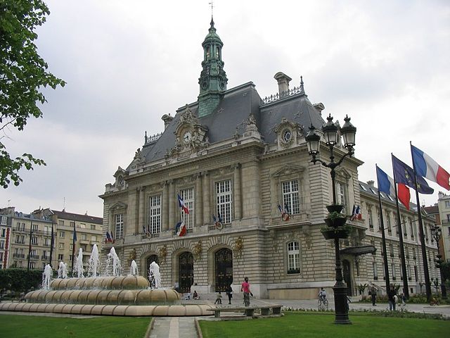
Nanterre
- commune in Hauts-de-Seine, France
- Country:
- Postal Code: 92000
- Coordinates: 48° 53' 26" N, 2° 12' 13" E
- GPS tracks (wikiloc): [Link]
- AboveSeaLevel: 30 м m
- Area: 12.19 sq km
- Population: 93742
- Web site: [Link]

Courbevoie
- commune in Hauts-de-Seine, France
- Country:
- Postal Code: 92400
- Coordinates: 48° 53' 48" N, 2° 15' 24" E
- GPS tracks (wikiloc): [Link]
- Area: 4.17 sq km
- Population: 83136
- Web site: [Link]

Rueil-Malmaison
- commune in Hauts-de-Seine, France
- Country:
- Postal Code: 92500
- Coordinates: 48° 52' 40" N, 2° 11' 18" E
- GPS tracks (wikiloc): [Link]
- Area: 14.7 sq km
- Population: 78794
- Web site: [Link]


canton of Bois-Colombes
- canton of France (until March 2015)
- Country:
- Capital: Bois-Colombes
- Coordinates: 48° 55' 0" N, 2° 16' 0" E
- GPS tracks (wikiloc): [Link]

canton of Asnières-sur-Seine-Sud
- canton of France (until March 2015)
- Country:
- Capital: Asnières-sur-Seine
- Coordinates: 48° 54' 39" N, 2° 17' 20" E
- GPS tracks (wikiloc): [Link]

canton of La Garenne-Colombes
- canton of France (until March 2015)
- Country:
- Capital: La Garenne-Colombes
- Coordinates: 48° 54' 0" N, 2° 15' 0" E
- GPS tracks (wikiloc): [Link]
canton of Asnières-sur-Seine-Nord
- canton of France (until March 2015)
- Country:
- Capital: Asnières-sur-Seine
- Coordinates: 48° 57' 30" N, 2° 15' 21" E
- GPS tracks (wikiloc): [Link]

Neuilly-sur-Seine
- commune in Hauts-de-Seine, France
- Country:
- Postal Code: 92200
- Coordinates: 48° 53' 14" N, 2° 16' 3" E
- GPS tracks (wikiloc): [Link]
- AboveSeaLevel: 33 м m
- Area: 3.73 sq km
- Population: 60910
- Web site: [Link]

canton of Rueil-Malmaison
- canton of France
- Country:
- Capital: Rueil-Malmaison
- Coordinates: 48° 53' 0" N, 2° 12' 0" E
- GPS tracks (wikiloc): [Link]
- Population: 78794

canton of Villeneuve-la-Garenne
- canton of France (until March 2015)
- Country:
- Capital: Villeneuve-la-Garenne
- Coordinates: 48° 56' 0" N, 2° 20' 0" E
- GPS tracks (wikiloc): [Link]