Javols (Javols)

- former commune in Lozère, France
- Country:

- Postal Code: 48130
- Coordinates: 44° 41' 36" N, 3° 20' 32" E


- GPS tracks (wikiloc): [Link]
- Area: 31.21 sq km
- Population: 331
- Web site: http://www.javols.fr
- Wikipedia en: wiki(en)
- Wikipedia: wiki(fr)
- Wikidata storage: Wikidata: Q478932
- Wikipedia Commons Category: [Link]
- Freebase ID: [/m/02z0t5z]
- Freebase ID: [/m/02z0t5z]
- GeoNames ID: Alt: [3012394]
- GeoNames ID: Alt: [3012394]
- BnF ID: [15261482z]
- BnF ID: [15261482z]
- Digital Atlas of the Roman Empire ID: [161]
- Digital Atlas of the Roman Empire ID: [161]
- INSEE municipality code: 48076
- INSEE municipality code: 48076
Shares border with regions:

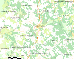
Aumont-Aubrac
- former commune in Lozère, France
- Country:
- Postal Code: 48130
- Coordinates: 44° 43' 22" N, 3° 17' 2" E
- GPS tracks (wikiloc): [Link]
- Area: 26.53 sq km
- Population: 1063


Saint-Sauveur-de-Peyre
- former commune in Lozère, France
- Country:
- Postal Code: 48130
- Coordinates: 44° 39' 31" N, 3° 17' 14" E
- GPS tracks (wikiloc): [Link]
- Area: 27.61 sq km
- Population: 271
- Web site: [Link]
Ribennes
- commune in Lozère, France
- Country:
- Postal Code: 48700
- Coordinates: 44° 38' 21" N, 3° 23' 52" E
- GPS tracks (wikiloc): [Link]
- Area: 24.97 sq km
- Population: 165


Serverette
- commune in Lozère, France
- Country:
- Postal Code: 48700
- Coordinates: 44° 42' 15" N, 3° 23' 10" E
- GPS tracks (wikiloc): [Link]
- Area: 17.35 sq km
- Population: 263

Fontans
- commune in Lozère, France
- Country:
- Postal Code: 48700
- Coordinates: 44° 44' 20" N, 3° 23' 12" E
- GPS tracks (wikiloc): [Link]
- Area: 33.9 sq km
- Population: 212

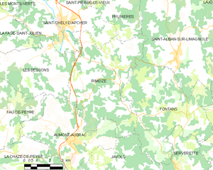
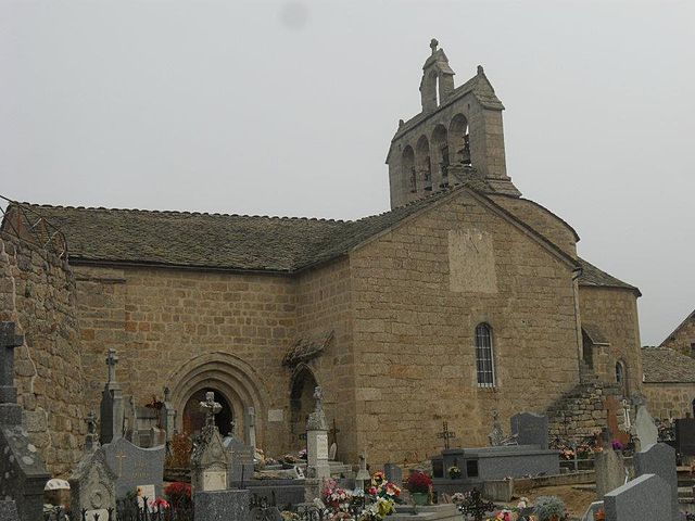
Rimeize
- commune in Lozère, France
- Country:
- Postal Code: 48200
- Coordinates: 44° 45' 54" N, 3° 19' 26" E
- GPS tracks (wikiloc): [Link]
- Area: 32.3 sq km
- Population: 577