Laxou (Laxou)
- commune in Meurthe-et-Moselle, France
- Country:

- Postal Code: 54520
- Coordinates: 48° 41' 8" N, 6° 9' 8" E


- GPS tracks (wikiloc): [Link]
- Area: 15.94 sq km
- Population: 14301
- Web site: http://www.laxou.fr
- Wikipedia en: wiki(en)
- Wikipedia: wiki(fr)
- Wikidata storage: Wikidata: Q752544
- Wikipedia Commons Category: [Link]
- Freebase ID: [/m/03qdkyp]
- Freebase ID: [/m/03qdkyp]
- GeoNames ID: Alt: [3005417]
- GeoNames ID: Alt: [3005417]
- SIREN number: [215403049]
- SIREN number: [215403049]
- BnF ID: [15264373f]
- BnF ID: [15264373f]
- VIAF ID: Alt: [249106310]
- VIAF ID: Alt: [249106310]
- GND ID: Alt: [4297657-1]
- GND ID: Alt: [4297657-1]
- MusicBrainz area ID: [93a35620-6ef5-419e-8998-4274a8873d43]
- MusicBrainz area ID: [93a35620-6ef5-419e-8998-4274a8873d43]
- INSEE municipality code: 54304
- INSEE municipality code: 54304
Shares border with regions:
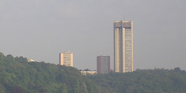
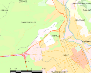
Maxéville
- commune in Meurthe-et-Moselle, France
- Country:

- Postal Code: 54320
- Coordinates: 48° 42' 41" N, 6° 9' 47" E


- GPS tracks (wikiloc): [Link]
- AboveSeaLevel: 365 м m
- Area: 5.63 sq km
- Population: 10091
- Web site: [Link]

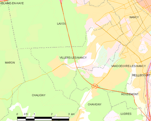
Villers-lès-Nancy
- commune in Meurthe-et-Moselle, France
- Country:

- Postal Code: 54600
- Coordinates: 48° 40' 23" N, 6° 9' 17" E


- GPS tracks (wikiloc): [Link]
- Area: 9.95 sq km
- Population: 14503
- Web site: [Link]
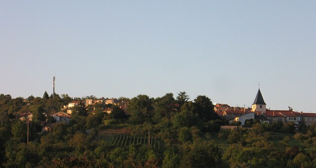

Chaligny
- commune in Meurthe-et-Moselle, France
- Country:

- Postal Code: 54230
- Coordinates: 48° 37' 28" N, 6° 4' 59" E


- GPS tracks (wikiloc): [Link]
- Area: 13.32 sq km
- Population: 2878


Champigneulles
- commune in Meurthe-et-Moselle, France
- Country:

- Postal Code: 54250
- Coordinates: 48° 44' 1" N, 6° 9' 52" E


- GPS tracks (wikiloc): [Link]
- Area: 23.99 sq km
- Population: 6808
- Web site: [Link]
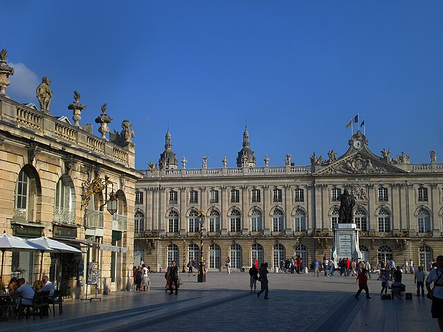

Nancy
- city in Meurthe-et-Moselle, France
- Country:

- Postal Code: 54000
- Coordinates: 48° 41' 34" N, 6° 11' 1" E


- GPS tracks (wikiloc): [Link]
- AboveSeaLevel: 212 м m
- Area: 15.01 sq km
- Population: 105162
- Web site: [Link]
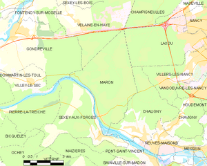
Maron
- commune in Meurthe-et-Moselle, France
- Country:

- Postal Code: 54230
- Coordinates: 48° 38' 5" N, 6° 2' 50" E


- GPS tracks (wikiloc): [Link]
- Area: 19.1 sq km
- Population: 847
