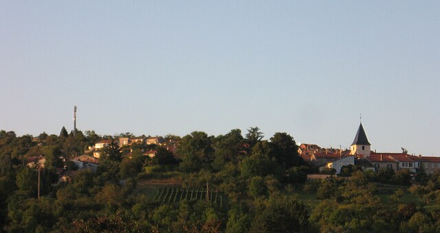
Villers-lès-Nancy (Villers-lès-Nancy)

- commune in Meurthe-et-Moselle, France
- Country:

- Postal Code: 54600
- Coordinates: 48° 40' 23" N, 6° 9' 17" E


- GPS tracks (wikiloc): [Link]
- Area: 9.95 sq km
- Population: 14503
- Web site: http://www.villers-les-nancy.fr
- Wikipedia en: wiki(en)
- Wikipedia: wiki(fr)
- Wikidata storage: Wikidata: Q1414358
- Wikipedia Commons Category: [Link]
- Freebase ID: [/m/092n2s]
- Freebase ID: [/m/092n2s]
- GeoNames ID: Alt: [2968368]
- GeoNames ID: Alt: [2968368]
- SIREN number: [215405788]
- SIREN number: [215405788]
- BnF ID: [152646451]
- BnF ID: [152646451]
- PACTOLS thesaurus ID: [pcrtQTmj2IQLen]
- PACTOLS thesaurus ID: [pcrtQTmj2IQLen]
- Twitter username: Alt: [villerslesnancy]
- Twitter username: Alt: [villerslesnancy]
- ISNI: Alt: [0000 0004 0448 0291]
- ISNI: Alt: [0000 0004 0448 0291]
- Ringgold ID: [205568]
- Ringgold ID: [205568]
- INSEE municipality code: 54578
- INSEE municipality code: 54578
Shares border with regions:

Chaligny
- commune in Meurthe-et-Moselle, France
- Country:
- Postal Code: 54230
- Coordinates: 48° 37' 28" N, 6° 4' 59" E
- GPS tracks (wikiloc): [Link]
- Area: 13.32 sq km
- Population: 2878


Chavigny
- commune in Meurthe-et-Moselle, France
- Country:
- Postal Code: 54230
- Coordinates: 48° 37' 45" N, 6° 7' 27" E
- GPS tracks (wikiloc): [Link]
- Area: 6.69 sq km
- Population: 1875
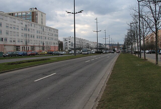

Vandœuvre-lès-Nancy
- commune in Meurthe-et-Moselle, France
- Country:
- Postal Code: 54500
- Coordinates: 48° 39' 22" N, 6° 10' 3" E
- GPS tracks (wikiloc): [Link]
- AboveSeaLevel: 300 м m
- Area: 9.46 sq km
- Population: 29923
- Web site: [Link]


Nancy
- city in Meurthe-et-Moselle, France
- Country:
- Postal Code: 54000
- Coordinates: 48° 41' 34" N, 6° 11' 1" E
- GPS tracks (wikiloc): [Link]
- AboveSeaLevel: 212 м m
- Area: 15.01 sq km
- Population: 105162
- Web site: [Link]


Laxou
- commune in Meurthe-et-Moselle, France
- Country:
- Postal Code: 54520
- Coordinates: 48° 41' 8" N, 6° 9' 8" E
- GPS tracks (wikiloc): [Link]
- Area: 15.94 sq km
- Population: 14301
- Web site: [Link]