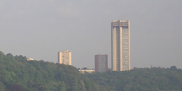
Champigneulles (Champigneulles)

- commune in Meurthe-et-Moselle, France
- Country:

- Postal Code: 54250
- Coordinates: 48° 44' 1" N, 6° 9' 52" E


- GPS tracks (wikiloc): [Link]
- Area: 23.99 sq km
- Population: 6808
- Web site: http://www.champigneulles.fr
- Wikipedia en: wiki(en)
- Wikipedia: wiki(fr)
- Wikidata storage: Wikidata: Q229339
- Wikipedia Commons Category: [Link]
- Freebase ID: [/m/03qdg37]
- Freebase ID: [/m/03qdg37]
- GeoNames ID: Alt: [3027126]
- GeoNames ID: Alt: [3027126]
- SIREN number: [215401159]
- SIREN number: [215401159]
- BnF ID: [15264184j]
- BnF ID: [15264184j]
- VIAF ID: Alt: [155642287]
- VIAF ID: Alt: [155642287]
- PACTOLS thesaurus ID: [pcrtV3Ali3hnhk]
- PACTOLS thesaurus ID: [pcrtV3Ali3hnhk]
- INSEE municipality code: 54115
- INSEE municipality code: 54115
Shares border with regions:
Velaine-en-Haye
- commune in Meurthe-et-Moselle, France
- Country:
- Postal Code: 54840
- Coordinates: 48° 42' 10" N, 6° 1' 16" E
- GPS tracks (wikiloc): [Link]
- Area: 17.87 sq km
- Population: 1821
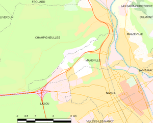
Maxéville
- commune in Meurthe-et-Moselle, France
- Country:
- Postal Code: 54320
- Coordinates: 48° 42' 41" N, 6° 9' 47" E
- GPS tracks (wikiloc): [Link]
- AboveSeaLevel: 365 м m
- Area: 5.63 sq km
- Population: 10091
- Web site: [Link]


Frouard
- commune in Meurthe-et-Moselle, France
- Country:
- Postal Code: 54390
- Coordinates: 48° 45' 38" N, 6° 7' 44" E
- GPS tracks (wikiloc): [Link]
- Area: 12.96 sq km
- Population: 6638
- Web site: [Link]


Bouxières-aux-Dames
- commune in Meurthe-et-Moselle, France
- Country:
- Postal Code: 54136
- Coordinates: 48° 45' 7" N, 6° 9' 47" E
- GPS tracks (wikiloc): [Link]
- Area: 4.11 sq km
- Population: 4189
- Web site: [Link]
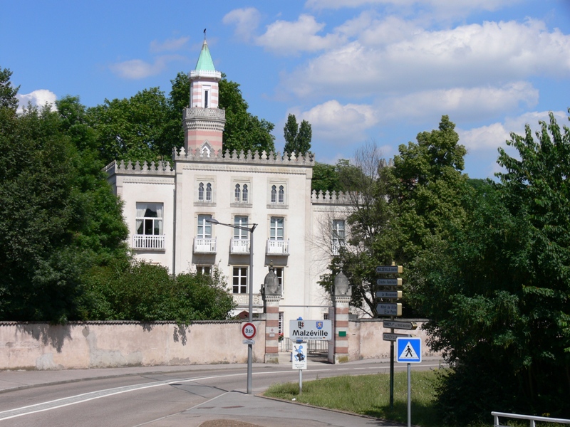

Malzéville
- commune in Meurthe-et-Moselle, France
- Country:
- Postal Code: 54220
- Coordinates: 48° 42' 37" N, 6° 11' 11" E
- GPS tracks (wikiloc): [Link]
- Area: 7.53 sq km
- Population: 7976


Laxou
- commune in Meurthe-et-Moselle, France
- Country:
- Postal Code: 54520
- Coordinates: 48° 41' 8" N, 6° 9' 8" E
- GPS tracks (wikiloc): [Link]
- Area: 15.94 sq km
- Population: 14301
- Web site: [Link]


Lay-Saint-Christophe
- commune in Meurthe-et-Moselle, France
- Country:
- Postal Code: 54690
- Coordinates: 48° 44' 53" N, 6° 12' 2" E
- GPS tracks (wikiloc): [Link]
- Area: 11.59 sq km
- Population: 2482
- Web site: [Link]
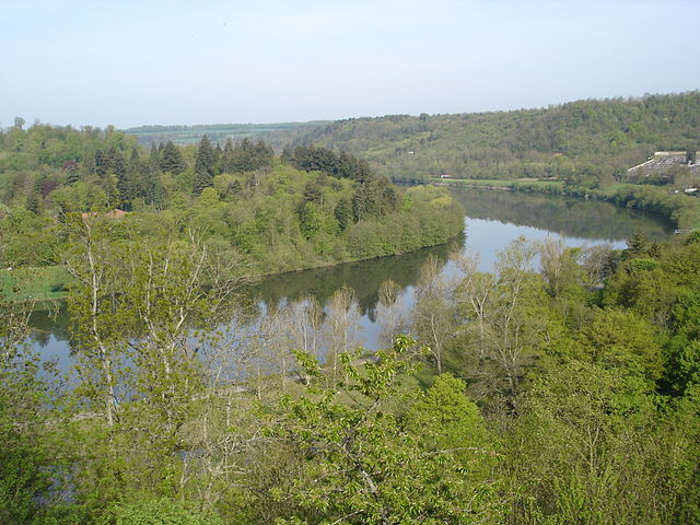

Liverdun
- commune in Meurthe-et-Moselle, France
- Country:
- Postal Code: 54460
- Coordinates: 48° 45' 1" N, 6° 3' 43" E
- GPS tracks (wikiloc): [Link]
- Area: 25.23 sq km
- Population: 6033
- Web site: [Link]