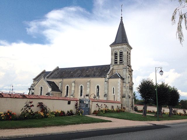
Le Châtelet (Le Châtelet)

- commune in Cher, France
- Country:

- Postal Code: 18170
- Coordinates: 46° 38' 30" N, 2° 16' 59" E


- GPS tracks (wikiloc): [Link]
- Area: 32.8 sq km
- Population: 1041
- Wikipedia en: wiki(en)
- Wikipedia: wiki(fr)
- Wikidata storage: Wikidata: Q1106233
- Wikipedia Commons Category: [Link]
- Freebase ID: [/m/03mfcg_]
- GeoNames ID: Alt: [6456753]
- SIREN number: [211800594]
- BnF ID: [152494051]
- VIAF ID: Alt: [235199584]
- INSEE municipality code: 18059
Shares border with regions:


Ardenais
- commune in Cher, France
- Country:
- Postal Code: 18170
- Coordinates: 46° 38' 50" N, 2° 21' 33" E
- GPS tracks (wikiloc): [Link]
- Area: 17.55 sq km
- Population: 207


Saint-Pierre-les-Bois
- commune in Cher, France
- Country:
- Postal Code: 18170
- Coordinates: 46° 39' 52" N, 2° 16' 44" E
- GPS tracks (wikiloc): [Link]
- Area: 20.38 sq km
- Population: 296


Maisonnais
- commune in Cher, France
- Country:
- Postal Code: 18170
- Coordinates: 46° 38' 24" N, 2° 12' 56" E
- GPS tracks (wikiloc): [Link]
- Area: 26.95 sq km
- Population: 238

Beddes
- commune in Cher, France
- Country:
- Postal Code: 18370
- Coordinates: 46° 36' 21" N, 2° 12' 47" E
- GPS tracks (wikiloc): [Link]
- Area: 12.92 sq km
- Population: 87


Reigny
- commune in Cher, France
- Country:
- Postal Code: 18270
- Coordinates: 46° 34' 35" N, 2° 21' 9" E
- GPS tracks (wikiloc): [Link]
- AboveSeaLevel: 405 м m
- Area: 24.61 sq km
- Population: 262


Saint-Maur
- commune in Cher, France
- Country:
- Postal Code: 18270
- Coordinates: 46° 34' 48" N, 2° 17' 55" E
- GPS tracks (wikiloc): [Link]
- AboveSeaLevel: 273 м m
- Area: 25.62 sq km
- Population: 284


Saint-Jeanvrin
- commune in Cher, France
- Country:
- Postal Code: 18370
- Coordinates: 46° 35' 44" N, 2° 14' 2" E
- GPS tracks (wikiloc): [Link]
- Area: 17.53 sq km
- Population: 161