Lestrade-et-Thouels (Lestrade-et-Thouels)

- commune in Aveyron, France
- Country:

- Postal Code: 12430
- Coordinates: 44° 3' 33" N, 2° 39' 34" E


- GPS tracks (wikiloc): [Link]
- Area: 42.27 sq km
- Population: 479
- Wikipedia en: wiki(en)
- Wikipedia: wiki(fr)
- Wikidata storage: Wikidata: Q1361742
- Wikipedia Commons Category: [Link]
- Freebase ID: [/m/03m946y]
- GeoNames ID: Alt: [6426950]
- SIREN number: [211201298]
- BnF ID: [15247105q]
- INSEE municipality code: 12129
Shares border with regions:


Broquiès
- commune in Aveyron, France
- Country:
- Postal Code: 12480
- Coordinates: 44° 0' 18" N, 2° 41' 45" E
- GPS tracks (wikiloc): [Link]
- Area: 37.99 sq km
- Population: 606
- Web site: [Link]
Connac
- commune in Aveyron, France
- Country:
- Postal Code: 12170
- Coordinates: 44° 1' 12" N, 2° 36' 7" E
- GPS tracks (wikiloc): [Link]
- Area: 10.69 sq km
- Population: 108
- Web site: [Link]


Réquista
- commune in Aveyron, France
- Country:
- Postal Code: 12170
- Coordinates: 44° 1' 56" N, 2° 32' 7" E
- GPS tracks (wikiloc): [Link]
- Area: 59.32 sq km
- Population: 2005
- Web site: [Link]
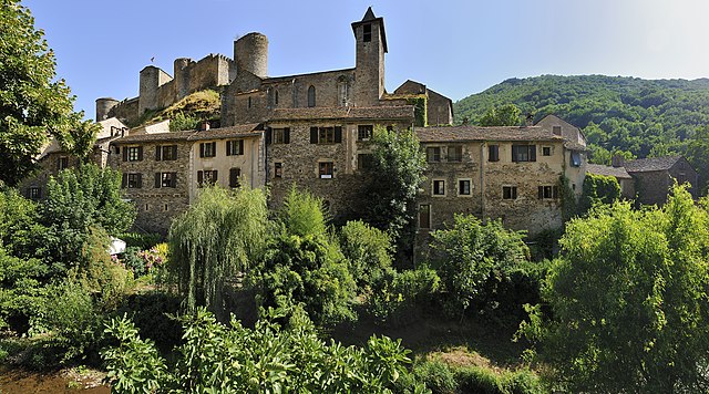

Brousse-le-Château
- commune in Aveyron, France
- Country:
- Postal Code: 12480
- Coordinates: 43° 59' 50" N, 2° 37' 30" E
- GPS tracks (wikiloc): [Link]
- Area: 15.54 sq km
- Population: 154


Durenque
- commune in Aveyron, France
- Country:
- Postal Code: 12170
- Coordinates: 44° 6' 35" N, 2° 37' 6" E
- GPS tracks (wikiloc): [Link]
- Area: 33.15 sq km
- Population: 529
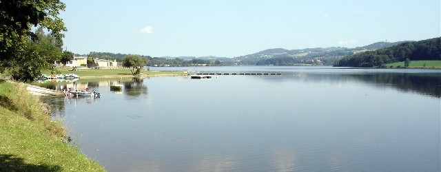

Villefranche-de-Panat
- commune in Aveyron, France
- Country:
- Postal Code: 12430
- Coordinates: 44° 5' 18" N, 2° 42' 17" E
- GPS tracks (wikiloc): [Link]
- Area: 29.13 sq km
- Population: 730
- Web site: [Link]