Leymen (Leymen)
- commune in Haut-Rhin, France
Leymen is a charming village located in the Alsace region of northeastern France, near the Swiss border. It provides a wonderful base for hiking enthusiasts, as it is surrounded by picturesque landscapes and diverse trails suitable for various skill levels. Here are some highlights for hiking in and around Leymen:
Trails and Routes
-
Local Trails: The area around Leymen offers several local trails that crisscross the beautiful countryside, allowing hikers to experience the natural beauty of the Alsace region. Look for well-marked paths that pass through vineyards, forests, and meadows.
-
Hiking in the Jura Mountains: Just a short distance from Leymen, the Jura Mountains provide stunning hikes with panoramic views. Trails here vary from easy walks to more challenging hikes with elevations.
-
Crown of the Jura: This is a popular hiking circuit that offers breathtaking views of both the Jura Mountains and the Rhine Valley. Make sure to bring a camera as the landscape is particularly picturesque.
-
Nature Reserves: Nearby natural reserves, like the Parc Naturel Régional du Doubs, provide a variety of hiking opportunities through rich flora and fauna. You can often spot wildlife along the trails.
Best Time to Hike
The ideal times to hike in Leymen are during the spring and autumn months. In spring, the area is lush and green with blooming flowers, while autumn offers vibrant foliage. Summer can be warm, and though hiking is still enjoyable, you should consider early morning or late afternoon hikes to avoid midday heat.
Preparation Tips
- Gear: Wear comfortable hiking boots and bring layers, as weather can change quickly in the region.
- Navigation: While many trails are well-marked, it’s always a good idea to carry a map or use a GPS device.
- Hydration and Snacks: Bring plenty of water and some snacks to keep your energy up, particularly on longer hikes.
Local Culture
Besides hiking, take some time to explore Leymen and its surroundings. The village offers a glimpse of traditional Alsatian architecture and culture. You can also enjoy local cuisine and perhaps visit a winery in the region.
Safety
As with any hiking experience, ensure you inform someone about your plans, and check the weather forecast before you head out. Stay on marked trails to help preserve the natural environment.
Leymen can be a delightful spot for hikers who appreciate both nature and culture. Enjoy your trekking adventures!
- Country:

- Postal Code: 68220
- Coordinates: 47° 29' 41" N, 7° 29' 0" E


- GPS tracks (wikiloc): [Link]
- Area: 11.64 sq km
- Population: 1198
- Wikipedia en: wiki(en)
- Wikipedia: wiki(fr)
- Wikidata storage: Wikidata: Q124258
- Wikipedia Commons Category: [Link]
- Freebase ID: [/m/03nst7v]
- Freebase ID: [/m/03nst7v]
- GeoNames ID: Alt: [6615251]
- GeoNames ID: Alt: [6615251]
- SIREN number: [216801829]
- SIREN number: [216801829]
- BnF ID: [15271884z]
- BnF ID: [15271884z]
- VIAF ID: Alt: [236995336]
- VIAF ID: Alt: [236995336]
- archINFORM location ID: [3842]
- archINFORM location ID: [3842]
- WOEID: [607886]
- WOEID: [607886]
- TGN ID: [4006352]
- TGN ID: [4006352]
- INSEE municipality code: 68182
- INSEE municipality code: 68182
Shares border with regions:


Liebenswiller
- commune in Haut-Rhin, France
Liebenswiller is a charming village located in the Alsace region of northeastern France, near the borders of Switzerland and Germany. The area is surrounded by beautiful landscapes, making it a great spot for hiking enthusiasts. Here’s what you can expect when hiking in and around Liebenswiller:...
- Country:

- Postal Code: 68220
- Coordinates: 47° 29' 54" N, 7° 27' 18" E


- GPS tracks (wikiloc): [Link]
- Area: 3.87 sq km
- Population: 207


Oltingue
- commune in Haut-Rhin, France
Oltingue is a small commune located in the Haut-Rhin department of eastern France, near the border with Switzerland. Hiking in this area can be quite rewarding, as it offers beautiful landscapes and the chance to experience the unique flora and fauna of the region....
- Country:

- Postal Code: 68480
- Coordinates: 47° 29' 29" N, 7° 23' 30" E


- GPS tracks (wikiloc): [Link]
- Area: 13.42 sq km
- Population: 721
- Web site: [Link]


Neuwiller
- commune in Haut-Rhin, France
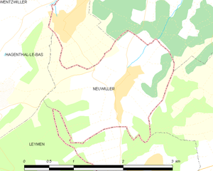
Neuwiller is a charming village located in the Bas-Rhin department of France, in the Alsace region. While it may not be as widely known as some other hiking destinations, it offers beautiful landscapes and a peaceful atmosphere ideal for outdoor enthusiasts....
- Country:

- Postal Code: 68220
- Coordinates: 47° 31' 28" N, 7° 30' 58" E


- GPS tracks (wikiloc): [Link]
- Area: 3.72 sq km
- Population: 473


Hagenthal-le-Bas
- commune in Haut-Rhin, France
Hagenthal-le-Bas is a charming village located in the Alsace region of France, close to the Swiss border. The area offers a range of hiking opportunities, showcasing the beautiful landscapes of the Alsace countryside....
- Country:

- Postal Code: 68220
- Coordinates: 47° 31' 29" N, 7° 28' 39" E


- GPS tracks (wikiloc): [Link]
- Area: 6.2 sq km
- Population: 1231


Hagenthal-le-Haut
- commune in Haut-Rhin, France
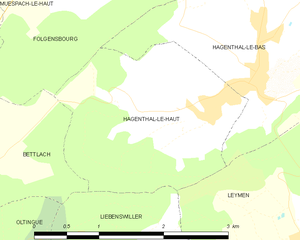
Hagenthal-le-Haut is a charming village located in the Alsace region of France, near the border with Switzerland. It offers a variety of hiking opportunities for enthusiasts looking to explore the beautiful landscapes of the area. Here are some aspects to consider when hiking in and around Hagenthal-le-Haut:...
- Country:

- Postal Code: 68220
- Coordinates: 47° 31' 10" N, 7° 28' 4" E


- GPS tracks (wikiloc): [Link]
- Area: 4.92 sq km
- Population: 641


Bettlach
- commune in Haut-Rhin, France
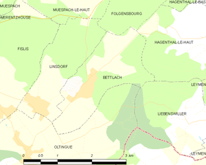
Bettlach is a charming commune located in the Haut-Rhin department in the Grand Est region of France. While it may be a smaller and less known area compared to some larger hiking destinations, the surrounding region offers beautiful landscapes, scenic views, and a variety of outdoor activities....
- Country:

- Postal Code: 68480
- Coordinates: 47° 30' 32" N, 7° 24' 51" E


- GPS tracks (wikiloc): [Link]
- Area: 4.09 sq km
- Population: 308

