Ménétréol-sous-Sancerre (Ménétréol-sous-Sancerre)

- commune in Cher, France
- Country:

- Postal Code: 18300
- Coordinates: 47° 19' 4" N, 2° 51' 22" E


- GPS tracks (wikiloc): [Link]
- Area: 5.67 sq km
- Population: 317
- Wikipedia en: wiki(en)
- Wikipedia: wiki(fr)
- Wikidata storage: Wikidata: Q544074
- Wikipedia Commons Category: [Link]
- Freebase ID: [/m/026zk7b]
- GeoNames ID: Alt: [2994581]
- SIREN number: [211801469]
- INSEE municipality code: 18146
Shares border with regions:


Tracy-sur-Loire
- commune in Nièvre, France
- Country:
- Postal Code: 58150
- Coordinates: 47° 19' 10" N, 2° 54' 38" E
- GPS tracks (wikiloc): [Link]
- Area: 23.07 sq km
- Population: 950

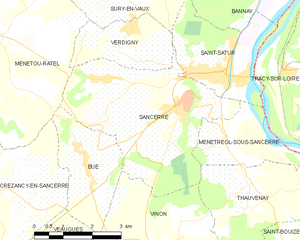
Sancerre
- commune in Cher, France
- Country:
- Postal Code: 18300
- Coordinates: 47° 19' 52" N, 2° 50' 20" E
- GPS tracks (wikiloc): [Link]
- Area: 16.27 sq km
- Population: 1425
- Web site: [Link]

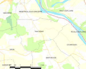
Thauvenay
- commune in Cher, France
- Country:
- Postal Code: 18300
- Coordinates: 47° 18' 18" N, 2° 52' 5" E
- GPS tracks (wikiloc): [Link]
- Area: 9.86 sq km
- Population: 338
- Web site: [Link]


Saint-Satur
- commune in Cher, France
- Country:
- Postal Code: 18300
- Coordinates: 47° 20' 28" N, 2° 51' 12" E
- GPS tracks (wikiloc): [Link]
- Area: 7.86 sq km
- Population: 1460