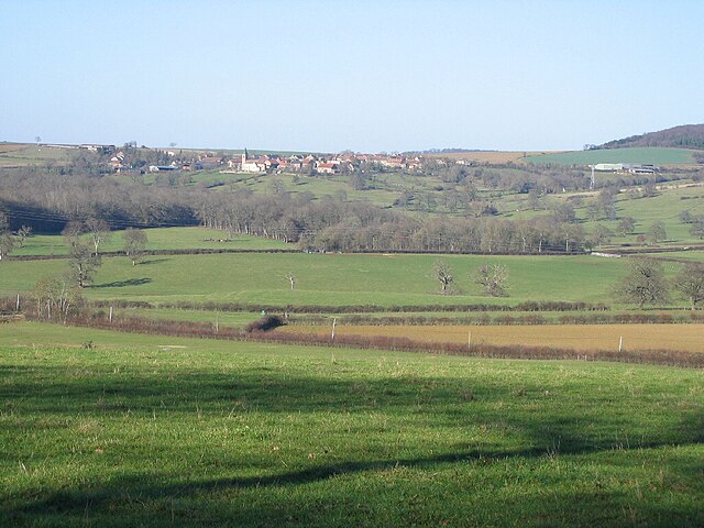
Monceaux-le-Comte (Monceaux-le-Comte)

- commune in Nièvre, France
- Country:

- Postal Code: 58190
- Coordinates: 47° 19' 45" N, 3° 39' 41" E


- GPS tracks (wikiloc): [Link]
- Area: 3.28 sq km
- Population: 125
- Wikipedia en: wiki(en)
- Wikipedia: wiki(fr)
- Wikidata storage: Wikidata: Q1100899
- Wikipedia Commons Category: [Link]
- Freebase ID: [/m/07wy7j]
- GeoNames ID: Alt: [6438020]
- SIREN number: [215801705]
- BnF ID: [15266435n]
- INSEE municipality code: 58170
Shares border with regions:

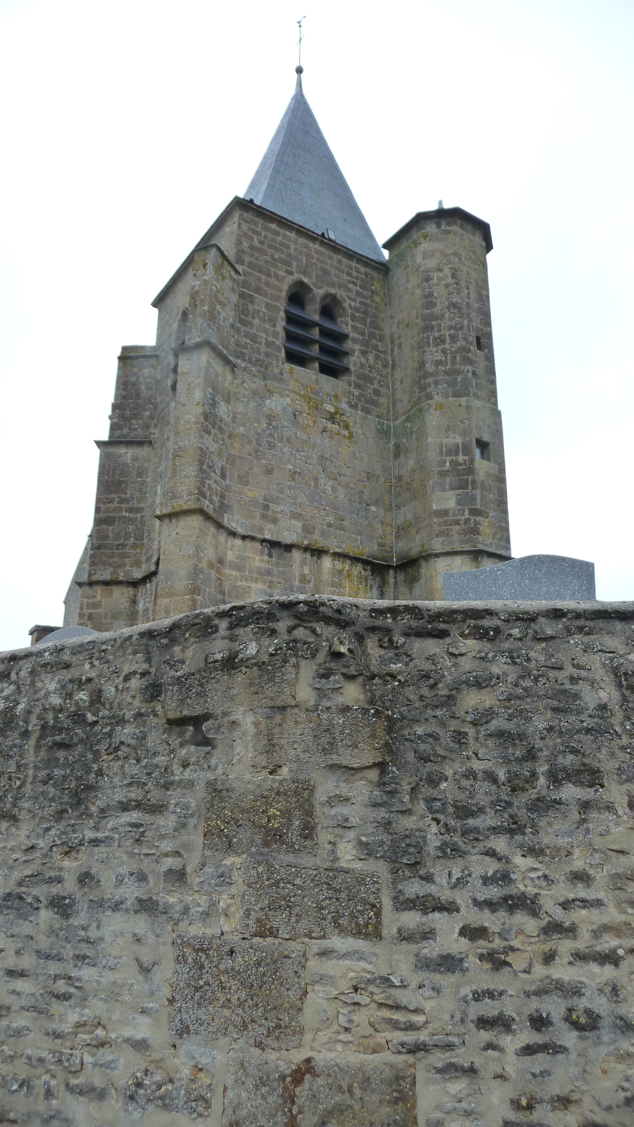
Vignol
- commune in Nièvre, France
- Country:
- Postal Code: 58190
- Coordinates: 47° 21' 44" N, 3° 40' 21" E
- GPS tracks (wikiloc): [Link]
- Area: 8.97 sq km
- Population: 65

Saizy
- commune in Nièvre, France
- Country:
- Postal Code: 58190
- Coordinates: 47° 21' 30" N, 3° 42' 15" E
- GPS tracks (wikiloc): [Link]
- Area: 13.23 sq km
- Population: 194

Ruages
- commune in Nièvre, France
- Country:
- Postal Code: 58190
- Coordinates: 47° 19' 0" N, 3° 40' 59" E
- GPS tracks (wikiloc): [Link]
- Area: 10.3 sq km
- Population: 100


Dirol
- commune in Nièvre, France
- Country:
- Postal Code: 58190
- Coordinates: 47° 18' 59" N, 3° 39' 14" E
- GPS tracks (wikiloc): [Link]
- Area: 9.48 sq km
- Population: 118