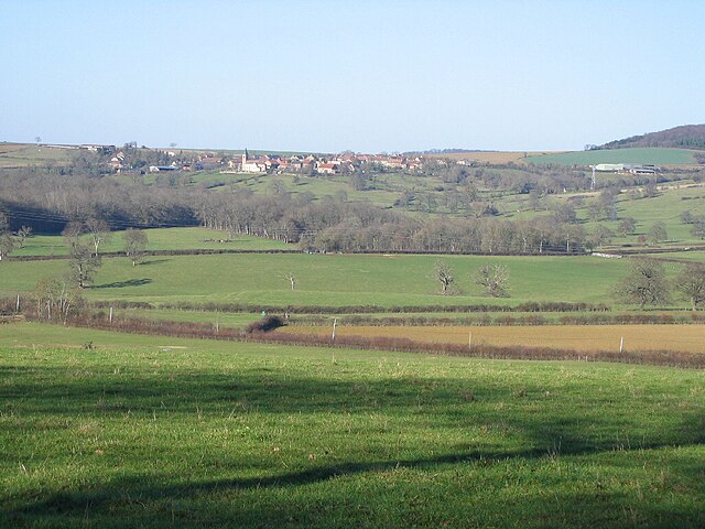
canton of Tannay (canton de Tannay)
- canton of France (until March 2015)
- Country:

- Capital: Tannay
- Coordinates: 47° 21' 44" N, 3° 38' 48" E


- GPS tracks (wikiloc): [Link]
- Wikidata storage: Wikidata: Q1541029
- Library of Congress authority ID: Alt: [n97014189]
- INSEE canton code: [5824]
Includes regions:


La Maison-Dieu
- commune in Nièvre, France
- Country:
- Postal Code: 58190
- Coordinates: 47° 24' 48" N, 3° 38' 49" E
- GPS tracks (wikiloc): [Link]
- Area: 13.82 sq km
- Population: 126
Moissy-Moulinot
- commune in Nièvre, France
- Country:
- Postal Code: 58190
- Coordinates: 47° 19' 50" N, 3° 41' 53" E
- GPS tracks (wikiloc): [Link]
- Area: 2.81 sq km
- Population: 21


Monceaux-le-Comte
- commune in Nièvre, France
- Country:
- Postal Code: 58190
- Coordinates: 47° 19' 45" N, 3° 39' 41" E
- GPS tracks (wikiloc): [Link]
- Area: 3.28 sq km
- Population: 125
Flez-Cuzy
- commune in Nièvre, France
- Country:
- Postal Code: 58190
- Coordinates: 47° 21' 48" N, 3° 37' 23" E
- GPS tracks (wikiloc): [Link]
- AboveSeaLevel: 168 м m
- Area: 5.92 sq km
- Population: 132

Vignol
- commune in Nièvre, France
- Country:
- Postal Code: 58190
- Coordinates: 47° 21' 44" N, 3° 40' 21" E
- GPS tracks (wikiloc): [Link]
- Area: 8.97 sq km
- Population: 65

Saizy
- commune in Nièvre, France
- Country:
- Postal Code: 58190
- Coordinates: 47° 21' 30" N, 3° 42' 15" E
- GPS tracks (wikiloc): [Link]
- Area: 13.23 sq km
- Population: 194


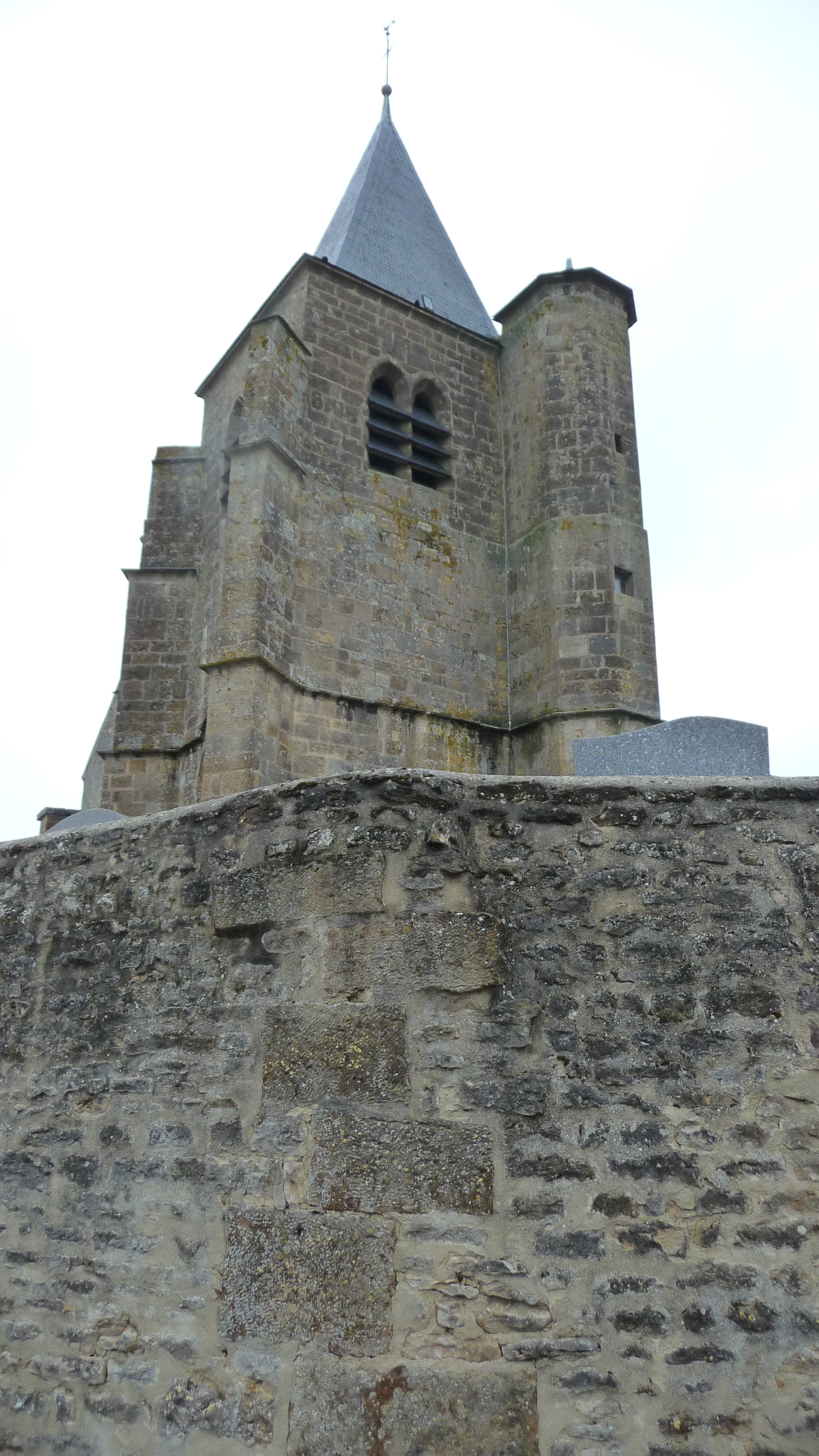
Tannay
- commune in Nièvre, France
- Country:
- Postal Code: 58190
- Coordinates: 47° 22' 4" N, 3° 35' 30" E
- GPS tracks (wikiloc): [Link]
- Area: 15.36 sq km
- Population: 591
Teigny
- commune in Nièvre, France
- Country:
- Postal Code: 58190
- Coordinates: 47° 22' 57" N, 3° 40' 10" E
- GPS tracks (wikiloc): [Link]
- Area: 7.42 sq km
- Population: 104
Talon
- commune in Nièvre, France
- Country:
- Postal Code: 58190
- Coordinates: 47° 20' 0" N, 3° 33' 36" E
- GPS tracks (wikiloc): [Link]
- Area: 6.27 sq km
- Population: 43


Metz-le-Comte
- commune in Nièvre, France
- Country:
- Postal Code: 58190
- Coordinates: 47° 23' 29" N, 3° 38' 21" E
- GPS tracks (wikiloc): [Link]
- Area: 14.37 sq km
- Population: 164


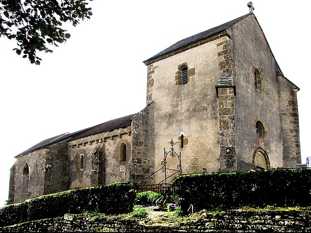
Saint-Germain-des-Bois
- commune in Nièvre, France
- Country:
- Postal Code: 58210
- Coordinates: 47° 22' 39" N, 3° 30' 42" E
- GPS tracks (wikiloc): [Link]
- Area: 12.43 sq km
- Population: 109
Saint-Didier
- commune in Nièvre, France
- Country:
- Postal Code: 58190
- Coordinates: 47° 20' 57" N, 3° 37' 16" E
- GPS tracks (wikiloc): [Link]
- Area: 3.51 sq km
- Population: 29


Saint-Aubin-des-Chaumes
- commune in Nièvre, France
- Country:
- Postal Code: 58190
- Coordinates: 47° 23' 35" N, 3° 45' 10" E
- GPS tracks (wikiloc): [Link]
- Area: 10.58 sq km
- Population: 76

Ruages
- commune in Nièvre, France
- Country:
- Postal Code: 58190
- Coordinates: 47° 19' 0" N, 3° 40' 59" E
- GPS tracks (wikiloc): [Link]
- Area: 10.3 sq km
- Population: 100


Nuars
- commune in Nièvre, France
- Country:
- Postal Code: 58190
- Coordinates: 47° 23' 1" N, 3° 41' 33" E
- GPS tracks (wikiloc): [Link]
- Area: 15.6 sq km
- Population: 154

Neuffontaines
- commune in Nièvre, France
- Country:
- Postal Code: 58190
- Coordinates: 47° 20' 22" N, 3° 44' 17" E
- GPS tracks (wikiloc): [Link]
- Area: 14.34 sq km
- Population: 107


Lys
- commune in Nièvre, France
- Country:
- Postal Code: 58190
- Coordinates: 47° 20' 51" N, 3° 36' 2" E
- GPS tracks (wikiloc): [Link]
- Area: 10.67 sq km
- Population: 106


Dirol
- commune in Nièvre, France
- Country:
- Postal Code: 58190
- Coordinates: 47° 18' 59" N, 3° 39' 14" E
- GPS tracks (wikiloc): [Link]
- Area: 9.48 sq km
- Population: 118
Asnois
- commune in Nièvre, France
- Country:
- Postal Code: 58190
- Coordinates: 47° 23' 55" N, 3° 35' 52" E
- GPS tracks (wikiloc): [Link]
- Area: 5.69 sq km
- Population: 156
- Web site: [Link]


Amazy
- commune in Nièvre, France
- Country:
- Postal Code: 58190
- Coordinates: 47° 22' 34" N, 3° 34' 43" E
- GPS tracks (wikiloc): [Link]
- Area: 13.74 sq km
- Population: 232
Shares border with regions:


canton of Clamecy
- canton of France
- Country:
- Capital: Clamecy
- Coordinates: 47° 27' 4" N, 3° 30' 37" E
- GPS tracks (wikiloc): [Link]
- Area: 665.05 sq km
- Population: 14369