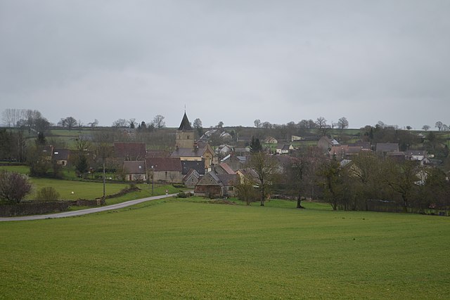
Montenoison (Montenoison)

- commune in Nièvre, France
- Country:

- Postal Code: 58700
- Coordinates: 47° 12' 56" N, 3° 25' 37" E


- GPS tracks (wikiloc): [Link]
- Area: 16.73 sq km
- Population: 123
- Wikipedia en: wiki(en)
- Wikipedia: wiki(fr)
- Wikidata storage: Wikidata: Q593703
- Wikipedia Commons Category: [Link]
- Freebase ID: [/m/03qfdlc]
- GeoNames ID: Alt: [6438023]
- SIREN number: [215801747]
- BnF ID: [152664391]
- WOEID: [612540]
- INSEE municipality code: 58174
Shares border with regions:

Oulon
- commune in Nièvre, France
- Country:
- Postal Code: 58700
- Coordinates: 47° 11' 57" N, 3° 23' 53" E
- GPS tracks (wikiloc): [Link]
- Area: 10.99 sq km
- Population: 67


Moussy
- commune in Nièvre, France
- Country:
- Postal Code: 58700
- Coordinates: 47° 11' 32" N, 3° 27' 13" E
- GPS tracks (wikiloc): [Link]
- Area: 11.97 sq km
- Population: 107


Arthel
- commune in Nièvre, France
- Country:
- Postal Code: 58700
- Coordinates: 47° 14' 41" N, 3° 24' 33" E
- GPS tracks (wikiloc): [Link]
- Area: 7.73 sq km
- Population: 96


Champlin
- commune in Nièvre, France
- Country:
- Postal Code: 58700
- Coordinates: 47° 14' 28" N, 3° 26' 45" E
- GPS tracks (wikiloc): [Link]
- Area: 7.91 sq km
- Population: 39

Giry
- commune in Nièvre, France
- Country:
- Postal Code: 58700
- Coordinates: 47° 13' 14" N, 3° 21' 53" E
- GPS tracks (wikiloc): [Link]
- Area: 23.78 sq km
- Population: 204

Champallement
- commune in Nièvre, France
- Country:
- Postal Code: 58420
- Coordinates: 47° 13' 56" N, 3° 29' 20" E
- GPS tracks (wikiloc): [Link]
- Area: 8.07 sq km
- Population: 50