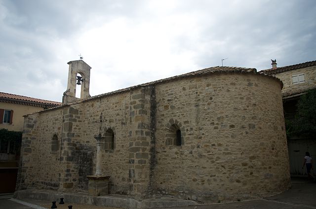
Moussac (Moussac)

- commune in Gard, France
- Country:

- Postal Code: 30190
- Coordinates: 43° 58' 52" N, 4° 13' 46" E


- GPS tracks (wikiloc): [Link]
- Area: 7.4 sq km
- Population: 1434
- Web site: http://www.moussac.fr
- Wikipedia en: wiki(en)
- Wikipedia: wiki(fr)
- Wikidata storage: Wikidata: Q1410098
- Wikipedia Commons Category: [Link]
- Freebase ID: [/m/03c818n]
- GeoNames ID: Alt: [6431345]
- SIREN number: [213001845]
- BnF ID: [15254824d]
- INSEE municipality code: 30184
Shares border with regions:


Saint-Chaptes
- commune in Gard, France
- Country:
- Postal Code: 30190
- Coordinates: 43° 58' 15" N, 4° 16' 45" E
- GPS tracks (wikiloc): [Link]
- Area: 13.07 sq km
- Population: 1851

Saint-Dézéry
- commune in Gard, France
- Country:
- Postal Code: 30190
- Coordinates: 44° 0' 4" N, 4° 16' 11" E
- GPS tracks (wikiloc): [Link]
- Area: 6.01 sq km
- Population: 430
Brignon
- commune in Gard, France
- Country:
- Postal Code: 30190
- Coordinates: 43° 59' 19" N, 4° 12' 50" E
- GPS tracks (wikiloc): [Link]
- Area: 6.67 sq km
- Population: 785
- Web site: [Link]


Sauzet
- commune in Gard, France
- Country:
- Postal Code: 30190
- Coordinates: 43° 57' 41" N, 4° 12' 38" E
- GPS tracks (wikiloc): [Link]
- Area: 6.7 sq km
- Population: 740


Castelnau-Valence
- commune in Gard, France
- Country:
- Postal Code: 30190
- Coordinates: 44° 0' 32" N, 4° 15' 7" E
- GPS tracks (wikiloc): [Link]
- AboveSeaLevel: 150 м m
- Area: 10.27 sq km
- Population: 440