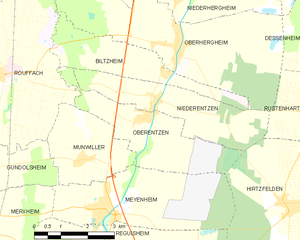
Niederentzen (Niederentzen)

- commune in Haut-Rhin, France
- Country:

- Postal Code: 68127
- Coordinates: 47° 56' 52" N, 7° 22' 52" E


- GPS tracks (wikiloc): [Link]
- Area: 8.81 sq km
- Population: 709
- Web site: http://www.niederentzen.fr
- Wikipedia en: wiki(en)
- Wikipedia: wiki(fr)
- Wikidata storage: Wikidata: Q148517
- Wikipedia Commons Category: [Link]
- Freebase ID: [/m/0bfckk]
- Freebase ID: [/m/0bfckk]
- GeoNames ID: Alt: [6441548]
- GeoNames ID: Alt: [6441548]
- SIREN number: [216802348]
- SIREN number: [216802348]
- BnF ID: [15271936c]
- BnF ID: [15271936c]
- INSEE municipality code: 68234
- INSEE municipality code: 68234
Shares border with regions:


Oberhergheim
- commune in Haut-Rhin, France
- Country:
- Postal Code: 68127
- Coordinates: 47° 57' 59" N, 7° 23' 43" E
- GPS tracks (wikiloc): [Link]
- Area: 19.86 sq km
- Population: 1204


Rustenhart
- commune in Haut-Rhin, France
- Country:
- Postal Code: 68740
- Coordinates: 47° 56' 31" N, 7° 27' 41" E
- GPS tracks (wikiloc): [Link]
- Area: 12.22 sq km
- Population: 846

Oberentzen
- commune in Haut-Rhin, France
- Country:
- Postal Code: 68127
- Coordinates: 47° 56' 37" N, 7° 22' 40" E
- GPS tracks (wikiloc): [Link]
- Area: 8.81 sq km
- Population: 614


Biltzheim
- commune in Haut-Rhin, France
- Country:
- Postal Code: 68127
- Coordinates: 47° 57' 28" N, 7° 23' 17" E
- GPS tracks (wikiloc): [Link]
- AboveSeaLevel: 202 м m
- Area: 7.15 sq km
- Population: 409
- Web site: [Link]

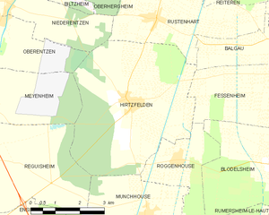
Hirtzfelden
- commune in Haut-Rhin, France
- Country:
- Postal Code: 68740
- Coordinates: 47° 54' 42" N, 7° 26' 43" E
- GPS tracks (wikiloc): [Link]
- Area: 22.1 sq km
- Population: 1217