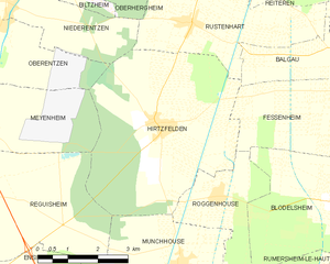
Hirtzfelden (Hirtzfelden)
- commune in Haut-Rhin, France
- Country:

- Postal Code: 68740
- Coordinates: 47° 54' 42" N, 7° 26' 43" E


- GPS tracks (wikiloc): [Link]
- Area: 22.1 sq km
- Population: 1217
- Wikipedia en: wiki(en)
- Wikipedia: wiki(fr)
- Wikidata storage: Wikidata: Q381585
- Wikipedia Commons Category: [Link]
- Freebase ID: [/m/03nssx4]
- Freebase ID: [/m/03nssx4]
- GeoNames ID: Alt: [6441471]
- GeoNames ID: Alt: [6441471]
- SIREN number: [216801407]
- SIREN number: [216801407]
- BnF ID: [152718421]
- BnF ID: [152718421]
- VIAF ID: Alt: [243218552]
- VIAF ID: Alt: [243218552]
- TGN ID: [7009233]
- TGN ID: [7009233]
- INSEE municipality code: 68140
- INSEE municipality code: 68140
Shares border with regions:

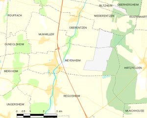
Meyenheim
- commune in Haut-Rhin, France
- Country:

- Postal Code: 68890
- Coordinates: 47° 54' 48" N, 7° 21' 21" E


- GPS tracks (wikiloc): [Link]
- Area: 12.78 sq km
- Population: 1455


Niederentzen
- commune in Haut-Rhin, France
- Country:

- Postal Code: 68127
- Coordinates: 47° 56' 52" N, 7° 22' 52" E


- GPS tracks (wikiloc): [Link]
- Area: 8.81 sq km
- Population: 709
- Web site: [Link]

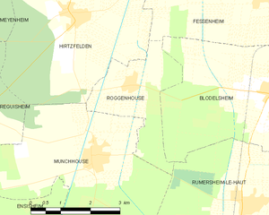
Roggenhouse
- commune in Haut-Rhin, France
Roggenhouse, a picturesque location, offers a variety of hiking opportunities amidst beautiful landscapes. Although specific trails and conditions can vary, here are some general insights and tips for hiking in this area:...
- Country:

- Postal Code: 68740
- Coordinates: 47° 53' 23" N, 7° 28' 15" E


- GPS tracks (wikiloc): [Link]
- Area: 6.45 sq km
- Population: 469

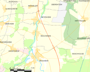
Réguisheim
- commune in Haut-Rhin, France
- Country:

- Postal Code: 68890
- Coordinates: 47° 53' 50" N, 7° 21' 21" E


- GPS tracks (wikiloc): [Link]
- Area: 23.87 sq km
- Population: 1851


Rustenhart
- commune in Haut-Rhin, France
- Country:

- Postal Code: 68740
- Coordinates: 47° 56' 31" N, 7° 27' 41" E


- GPS tracks (wikiloc): [Link]
- Area: 12.22 sq km
- Population: 846


Munchhouse
- commune in Haut-Rhin, France
Munchhouse is a quaint and lesser-known destination for hiking enthusiasts, nestled in the natural beauty of the surrounding landscapes. While it may not be as popular as other hiking areas, it offers a unique experience for those willing to explore its trails. Here are some key points to consider when hiking in Munchhouse:...
- Country:

- Postal Code: 68740
- Coordinates: 47° 52' 6" N, 7° 27' 3" E


- GPS tracks (wikiloc): [Link]
- Area: 24.05 sq km
- Population: 1574

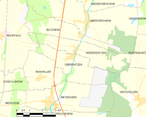
Oberentzen
- commune in Haut-Rhin, France
- Country:

- Postal Code: 68127
- Coordinates: 47° 56' 37" N, 7° 22' 40" E


- GPS tracks (wikiloc): [Link]
- Area: 8.81 sq km
- Population: 614


Fessenheim
- commune in Haut-Rhin, France
Fessenheim, a small commune located in the Alsace region of France, near the border with Germany and Switzerland, offers a serene hiking experience amidst picturesque landscapes. While the town itself is not widely known for extensive hiking trails, there are several options in the surrounding areas that hikers can explore. Here are some key points to consider when hiking around Fessenheim:...
- Country:

- Postal Code: 68740
- Coordinates: 47° 54' 55" N, 7° 32' 9" E


- GPS tracks (wikiloc): [Link]
- Area: 18.4 sq km
- Population: 2389
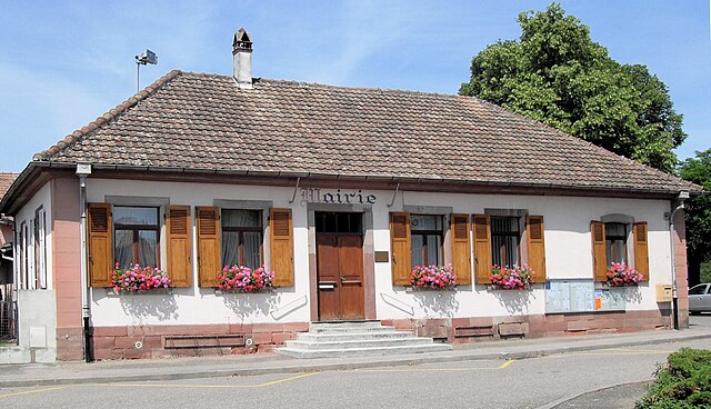

Balgau
- commune in Haut-Rhin, France
- Country:

- Postal Code: 68740
- Coordinates: 47° 55' 41" N, 7° 32' 24" E


- GPS tracks (wikiloc): [Link]
- Area: 9.49 sq km
- Population: 960
- Web site: [Link]
