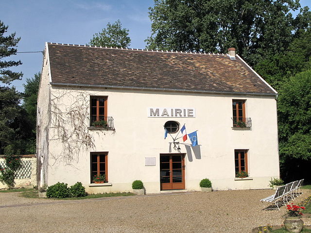
Roinville (Roinville)

- commune in Essonne, France
- Country:

- Postal Code: 91410
- Coordinates: 48° 31' 53" N, 2° 2' 43" E


- GPS tracks (wikiloc): [Link]
- Area: 13.4 sq km
- Population: 1363
- Web site: http://www.mairie-roinville.fr
- Wikipedia en: wiki(en)
- Wikipedia: wiki(fr)
- Wikidata storage: Wikidata: Q945985
- Wikipedia Commons Category: [Link]
- Freebase ID: [/m/03mh6kh]
- Freebase ID: [/m/03mh6kh]
- GeoNames ID: Alt: [6446193]
- GeoNames ID: Alt: [6446193]
- SIREN number: [219105251]
- SIREN number: [219105251]
- BnF ID: [152801918]
- BnF ID: [152801918]
- PACTOLS thesaurus ID: [pcrtsRaKyIG45q]
- PACTOLS thesaurus ID: [pcrtsRaKyIG45q]
- INSEE municipality code: 91525
- INSEE municipality code: 91525
Shares border with regions:

Saint-Cyr-sous-Dourdan
- commune in Essonne, France
- Country:
- Postal Code: 91410
- Coordinates: 48° 34' 7" N, 2° 2' 10" E
- GPS tracks (wikiloc): [Link]
- Area: 9.89 sq km
- Population: 1003

Le Val-Saint-Germain
- commune in Essonne, France
- Country:
- Postal Code: 91530
- Coordinates: 48° 33' 54" N, 2° 3' 50" E
- GPS tracks (wikiloc): [Link]
- Area: 12.57 sq km
- Population: 1437
- Web site: [Link]
Sermaise
- commune in Essonne, France
- Country:
- Postal Code: 91530
- Coordinates: 48° 32' 10" N, 2° 4' 50" E
- GPS tracks (wikiloc): [Link]
- Area: 13.6 sq km
- Population: 1644
- Web site: [Link]

La Forêt-le-Roi
- commune in Essonne, France
- Country:
- Postal Code: 91410
- Coordinates: 48° 28' 43" N, 2° 2' 31" E
- GPS tracks (wikiloc): [Link]
- Area: 7.94 sq km
- Population: 517
- Web site: [Link]

Boissy-le-Sec
- commune in Essonne, France
- Country:
- Postal Code: 91870
- Coordinates: 48° 28' 38" N, 2° 5' 25" E
- GPS tracks (wikiloc): [Link]
- Area: 19.06 sq km
- Population: 677
- Web site: [Link]

Les Granges-le-Roi
- commune in Essonne, France
- Country:
- Postal Code: 91410
- Coordinates: 48° 30' 6" N, 2° 1' 9" E
- GPS tracks (wikiloc): [Link]
- Area: 12.68 sq km
- Population: 1201
- Web site: [Link]

Dourdan
- commune in Essonne, France
- Country:
- Postal Code: 91410
- Coordinates: 48° 31' 44" N, 2° 0' 39" E
- GPS tracks (wikiloc): [Link]
- Area: 30.64 sq km
- Population: 10673
- Web site: [Link]