Rudolfstetten-Friedlisberg (Rudolfstetten-Friedlisberg)

- municipality in Switzerland
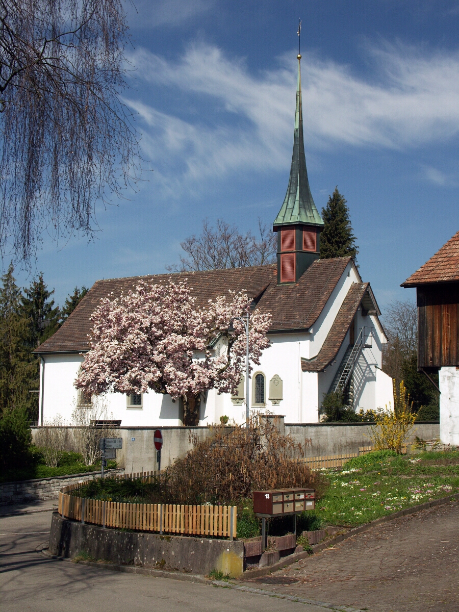
 Hiking in Rudolfstetten-Friedlisberg
Rudolfstetten-Friedlisberg is a picturesque municipality located in the Canton of Aargau in Switzerland. This area offers a variety of hiking opportunities, showcasing beautiful landscapes, lush forests, and stunning views of the surrounding hills and valleys.
Hiking Trails
-
Local Trails: There are several well-marked local trails that cater to different skill levels. Many of these trails navigate through wooded areas and fields, providing a peaceful hiking experience.
-
Nature Trails: Look for nature trails that might incorporate information about the local flora and fauna. These often include signage that educates hikers about the area's ecology.
-
Panoramic Routes: Some trails in the region provide fantastic panoramic views of the Aargau countryside. Climbing to higher elevations offers stunning vistas, especially on clear days.
-
Themed Hikes: Certain routes might be themed, for example focusing on historical sites or specific aspects of local culture which add an educational twist to your hiking.
Accessibility
The hiking trails in and around Rudolfstetten-Friedlisberg are usually well-marked and maintained. Many trails start from the village itself, making it convenient to embark on hikes directly from the town. Public transportation options such as buses can also facilitate access to trailheads.
Duration and Difficulty
Hikes in this region range from easy strolls to more challenging hikes, with most trails suitable for families and novice hikers. The duration of hikes can vary, typically ranging from 1 hour for shorter trails to several hours for full-day adventures.
Tips for Hiking in Rudolfstetten-Friedlisberg
- Weather Check: Always check the weather before you head out, as conditions can change rapidly in the mountains.
- Proper Footwear: Wear sturdy hiking shoes to navigate various terrain types comfortably.
- Hydration & Snacks: Bring plenty of water and some snacks to keep your energy up during longer hikes.
- Respect Nature: Stay on marked trails, and remember to carry out all trash.
Whether you're looking for a short, scenic walk or a more intense hike, Rudolfstetten-Friedlisberg provides a great setting for enjoying the outdoors while appreciating the natural beauty of Switzerland.
- Country:

- Postal Code: 8964
- Local Dialing Code: 056
- Licence Plate Code: AG
- Coordinates: 47° 22' 9" N, 8° 22' 55" E


- GPS tracks (wikiloc): [Link]
- AboveSeaLevel: 479 м m
- Area: 4.90 sq km
- Population: 4466
- Web site: http://www.rudolfstetten.ch
- Wikipedia en: wiki(en)
- Wikipedia: wiki(de)
- Wikidata storage: Wikidata: Q64306
- Wikipedia Commons Category: [Link]
- Freebase ID: [/m/0cx3kz]
- GeoNames ID: Alt: [7286971]
- VIAF ID: Alt: [236114175]
- OSM relation ID: [1684408]
- GND ID: Alt: [306281149]
- HDS ID: [1674]
- Swiss municipality code: [4075]
Shares border with regions:


Berikon
- municipality in Switzerland
Hiking in Berikon
Berikon is a picturesque town located in the canton of Aargau, Switzerland, and it offers a variety of hiking opportunities that appeal to both casual walkers and more experienced hikers. Here are some key points to consider when hiking in and around Berikon:...
- Country:
- Postal Code: 8965
- Local Dialing Code: 056
- Licence Plate Code: AG
- Coordinates: 47° 21' 14" N, 8° 23' 1" E
- GPS tracks (wikiloc): [Link]
- AboveSeaLevel: 583 м m
- Area: 5.38 sq km
- Population: 4715
- Web site: [Link]


Widen
- municipality in Switzerland
Hiking in Widen
Widen, located in the Canton of Aargau in Switzerland, offers beautiful hiking opportunities with its picturesque landscapes and well-marked trails. Here are some details to consider when planning a hike in Widen:...
- Country:
- Postal Code: 8967
- Local Dialing Code: 056
- Licence Plate Code: AG
- Coordinates: 47° 22' 12" N, 8° 21' 29" E
- GPS tracks (wikiloc): [Link]
- AboveSeaLevel: 562 м m
- Area: 2.62 sq km
- Population: 3668
- Web site: [Link]


Bergdietikon
- municipality in Switzerland
Hiking in Bergdietikon
Bergdietikon is a charming municipality located in the canton of Aargau, Switzerland. It's situated in a picturesque region characterized by rolling hills, forests, and beautiful landscapes, making it an excellent destination for hiking enthusiasts of all levels....
- Country:
- Postal Code: 8962
- Local Dialing Code: 044
- Licence Plate Code: AG
- Coordinates: 47° 23' 39" N, 8° 23' 10" E
- GPS tracks (wikiloc): [Link]
- AboveSeaLevel: 508 м m
- Area: 5.94 sq km
- Population: 2827
- Web site: [Link]

Urdorf
- municipality in Switzerland
Hiking in Urdorf
Urdorf is a municipality in the canton of Zurich, Switzerland, offering wonderful opportunities for hiking enthusiasts. While Urdorf itself is a bit more urban, it's surrounded by beautiful landscapes ideal for outdoor activities....
- Country:
- Postal Code: 8902
- Local Dialing Code: 044; 043
- Licence Plate Code: ZH
- Coordinates: 47° 23' 12" N, 8° 25' 40" E
- GPS tracks (wikiloc): [Link]
- AboveSeaLevel: 430 м m
- Area: 7.62 sq km
- Population: 9768
- Web site: [Link]