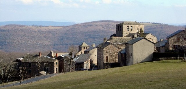
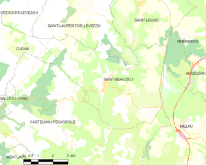
Saint-Beauzély (Saint-Beauzély)
- commune in Aveyron, France
- Country:

- Postal Code: 12620
- Coordinates: 44° 9' 55" N, 2° 57' 29" E


- GPS tracks (wikiloc): [Link]
- Area: 30.69 sq km
- Population: 573
- Web site: http://www.saint-beauzely.fr
- Wikipedia en: wiki(en)
- Wikipedia: wiki(fr)
- Wikidata storage: Wikidata: Q1141367
- Wikipedia Commons Category: [Link]
- Freebase ID: [/m/03m9595]
- SIREN number: [211202130]
- BnF ID: [15247189k]
- VIAF ID: Alt: [140810715]
- GND ID: Alt: [4579308-6]
- Library of Congress authority ID: Alt: [n87100489]
- PACTOLS thesaurus ID: [pcrtGsco6VnDys]
- INSEE municipality code: 12213
Shares border with regions:


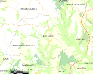
Saint-Léons
- commune in Aveyron, France
- Country:

- Postal Code: 12780
- Coordinates: 44° 12' 56" N, 2° 59' 9" E


- GPS tracks (wikiloc): [Link]
- Area: 32.89 sq km
- Population: 398
Saint-Laurent-de-Lévézou
- commune in Aveyron, France
- Country:

- Postal Code: 12620
- Coordinates: 44° 12' 28" N, 2° 57' 31" E


- GPS tracks (wikiloc): [Link]
- Area: 23.33 sq km
- Population: 158


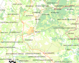
Millau
- commune in Aveyron, France
- Country:

- Postal Code: 12100
- Coordinates: 44° 5' 52" N, 3° 4' 40" E


- GPS tracks (wikiloc): [Link]
- AboveSeaLevel: 379 м m
- Area: 168.23 sq km
- Population: 22234
- Web site: [Link]


Castelnau-Pégayrols
- commune in Aveyron, France
- Country:

- Postal Code: 12620
- Coordinates: 44° 7' 47" N, 2° 56' 1" E


- GPS tracks (wikiloc): [Link]
- Area: 53.01 sq km
- Population: 340
- Web site: [Link]


Curan
- commune in Aveyron, France
- Country:

- Postal Code: 12410
- Coordinates: 44° 12' 0" N, 2° 51' 15" E


- GPS tracks (wikiloc): [Link]
- Area: 41.18 sq km
- Population: 315


Verrières
- commune in Aveyron, France
- Country:

- Postal Code: 12520
- Coordinates: 44° 12' 5" N, 3° 3' 29" E


- GPS tracks (wikiloc): [Link]
- AboveSeaLevel: 480 м m
- Area: 53.01 sq km
- Population: 450
- Web site: [Link]
