Saint-Claude-de-Diray (Saint-Claude-de-Diray)

- commune in Loir-et-Cher, France
- Country:

- Postal Code: 41350
- Coordinates: 47° 36' 55" N, 1° 24' 57" E


- GPS tracks (wikiloc): [Link]
- Area: 9.17 sq km
- Population: 1762
- Web site: http://www.cc-paysdechambord.fr/commune.asp?lieumanif=1555&idpage=16300
- Wikipedia en: wiki(en)
- Wikipedia: wiki(fr)
- Wikidata storage: Wikidata: Q540209
- Wikipedia Commons Category: [Link]
- Freebase ID: [/m/03nw256]
- GeoNames ID: Alt: [2981074]
- SIREN number: [214102048]
- BnF ID: [15259478f]
- INSEE municipality code: 41204
Shares border with regions:


Vineuil
- commune in Loir-et-Cher, France
- Country:
- Postal Code: 41350
- Coordinates: 47° 34' 50" N, 1° 22' 21" E
- GPS tracks (wikiloc): [Link]
- Area: 22.34 sq km
- Population: 7724
- Web site: [Link]


Huisseau-sur-Cosson
- commune in Loir-et-Cher, France
- Country:
- Postal Code: 41350
- Coordinates: 47° 35' 33" N, 1° 27' 10" E
- GPS tracks (wikiloc): [Link]
- Area: 22.79 sq km
- Population: 2279
- Web site: [Link]

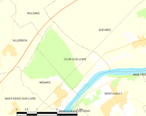
Cour-sur-Loire
- commune in Loir-et-Cher, France
- Country:
- Postal Code: 41500
- Coordinates: 47° 39' 19" N, 1° 25' 58" E
- GPS tracks (wikiloc): [Link]
- Area: 5.4 sq km
- Population: 282


Montlivault
- commune in Loir-et-Cher, France
- Country:
- Postal Code: 41350
- Coordinates: 47° 38' 23" N, 1° 26' 37" E
- GPS tracks (wikiloc): [Link]
- Area: 10.73 sq km
- Population: 1375

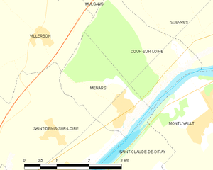
Menars
- commune in Loir-et-Cher, France
- Country:
- Postal Code: 41500
- Coordinates: 47° 38' 33" N, 1° 24' 31" E
- GPS tracks (wikiloc): [Link]
- Area: 4.5 sq km
- Population: 633


Saint-Denis-sur-Loire
- commune in Loir-et-Cher, France
- Country:
- Postal Code: 41000
- Coordinates: 47° 37' 30" N, 1° 23' 11" E
- GPS tracks (wikiloc): [Link]
- Area: 12.4 sq km
- Population: 838