Saint-Gilles (Saint-Gilles)

- commune in Gard, France
- Country:

- Postal Code: 30800
- Coordinates: 43° 40' 40" N, 4° 25' 52" E


- GPS tracks (wikiloc): [Link]
- Area: 153.73 sq km
- Population: 13477
- Web site: http://www.saint-gilles.fr
- Wikipedia en: wiki(en)
- Wikipedia: wiki(fr)
- Wikidata storage: Wikidata: Q243024
- Wikipedia Commons Category: [Link]
- Freebase ID: [/m/03qs77]
- GeoNames ID: Alt: [2979679]
- SIREN number: [213002587]
- BnF ID: [15254898z]
- archINFORM location ID: [8717]
- Library of Congress authority ID: Alt: [n81103132]
- PACTOLS thesaurus ID: [pcrtT4UnQipw26]
- Encyclopædia Universalis ID: [saint-gilles-du-gard]
- INSEE municipality code: 30258
Shares border with regions:


Garons
- commune in Gard, France
- Country:
- Postal Code: 30128
- Coordinates: 43° 46' 6" N, 4° 25' 42" E
- GPS tracks (wikiloc): [Link]
- AboveSeaLevel: 96 м m
- Area: 12.28 sq km
- Population: 4786
- Web site: [Link]


Fourques
- commune in Gard, France
- Country:
- Postal Code: 30300
- Coordinates: 43° 41' 35" N, 4° 36' 38" E
- GPS tracks (wikiloc): [Link]
- AboveSeaLevel: 3 м m
- Area: 38.24 sq km
- Population: 2880
- Web site: [Link]


Vauvert
- commune in Gard, France
- Country:
- Postal Code: 30600
- Coordinates: 43° 41' 36" N, 4° 16' 34" E
- GPS tracks (wikiloc): [Link]
- Area: 109.86 sq km
- Population: 11515
- Web site: [Link]


Caissargues
- commune in Gard, France
- Country:
- Postal Code: 30132
- Coordinates: 43° 47' 45" N, 4° 22' 44" E
- GPS tracks (wikiloc): [Link]
- Area: 8.02 sq km
- Population: 3966
- Web site: [Link]

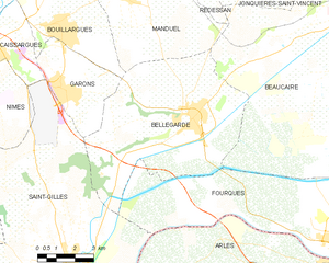
Bellegarde
- commune in Gard, France
- Country:
- Postal Code: 30127
- Coordinates: 43° 45' 13" N, 4° 30' 52" E
- GPS tracks (wikiloc): [Link]
- Area: 44.96 sq km
- Population: 6847

Beauvoisin
- commune in Gard, France
- Country:
- Postal Code: 30640
- Coordinates: 43° 43' 6" N, 4° 19' 25" E
- GPS tracks (wikiloc): [Link]
- Area: 27.82 sq km
- Population: 4669
- Web site: [Link]


Saintes-Maries-de-la-Mer
- commune in Bouches-du-Rhône, France
- Country:
- Postal Code: 13460
- Coordinates: 43° 27' 6" N, 4° 25' 41" E
- GPS tracks (wikiloc): [Link]
- Area: 374.61 sq km
- Population: 2680
- Web site: [Link]
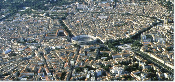
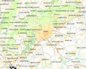
Nîmes
- commune in Gard, France
- Country:
- Postal Code: 30900; 30000
- Local Dialing Code: 466
- Coordinates: 43° 50' 13" N, 4° 21' 36" E
- GPS tracks (wikiloc): [Link]
- AboveSeaLevel: 215 м m
- Area: 161.85 sq km
- Population: 150672
- Web site: [Link]


Générac
- commune in Gard, France
- Country:
- Postal Code: 30510
- Coordinates: 43° 43' 42" N, 4° 20' 55" E
- GPS tracks (wikiloc): [Link]
- Area: 24.26 sq km
- Population: 4048
- Web site: [Link]


Arles
- commune in Bouches-du-Rhône, France
- Country:
- Postal Code: 13200
- Coordinates: 43° 40' 37" N, 4° 37' 43" E
- GPS tracks (wikiloc): [Link]
- AboveSeaLevel: 57 м m
- Area: 758.93 sq km
- Population: 52886
- Web site: [Link]