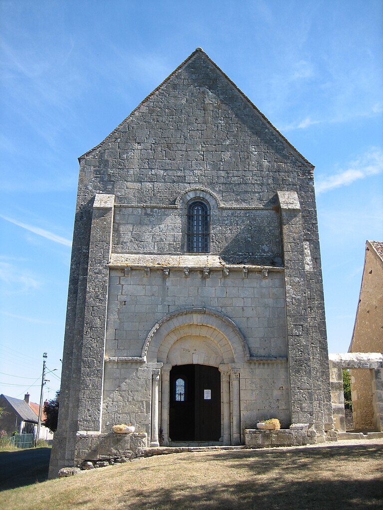
Saint-Hilaire-en-Lignières (Saint-Hilaire-en-Lignières)

- commune in Cher, France
- Country:

- Postal Code: 18160
- Coordinates: 46° 43' 34" N, 2° 10' 25" E


- GPS tracks (wikiloc): [Link]
- Area: 53.78 sq km
- Population: 515
- Wikipedia en: wiki(en)
- Wikipedia: wiki(fr)
- Wikidata storage: Wikidata: Q1172306
- Wikipedia Commons Category: [Link]
- Freebase ID: [/m/03mfdzw]
- SIREN number: [211802160]
- BnF ID: [152495624]
- INSEE municipality code: 18216
Shares border with regions:


La Berthenoux
- commune in Indre, France
- Country:
- Postal Code: 36400
- Coordinates: 46° 39' 40" N, 2° 3' 43" E
- GPS tracks (wikiloc): [Link]
- Area: 39.82 sq km
- Population: 416
- Web site: [Link]
Pruniers
- commune in Indre, France
- Country:
- Postal Code: 36120
- Coordinates: 46° 47' 20" N, 2° 3' 5" E
- GPS tracks (wikiloc): [Link]
- Area: 49 sq km
- Population: 537
- Web site: [Link]


Saint-Christophe-en-Boucherie
- commune in Indre, France
- Country:
- Postal Code: 36400
- Coordinates: 46° 40' 41" N, 2° 7' 16" E
- GPS tracks (wikiloc): [Link]
- Area: 26.89 sq km
- Population: 250


Chezal-Benoît
- commune in Cher, France
- Country:
- Postal Code: 18160
- Coordinates: 46° 49' 37" N, 2° 6' 51" E
- GPS tracks (wikiloc): [Link]
- Area: 46.46 sq km
- Population: 867
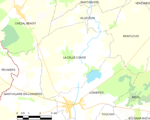
La Celle-Condé
- commune in Cher, France
- Country:
- Postal Code: 18160
- Coordinates: 46° 47' 38" N, 2° 11' 4" E
- GPS tracks (wikiloc): [Link]
- Area: 30.94 sq km
- Population: 209


Touchay
- commune in Cher, France
- Country:
- Postal Code: 18160
- Coordinates: 46° 42' 44" N, 2° 12' 42" E
- GPS tracks (wikiloc): [Link]
- Area: 23.41 sq km
- Population: 260


Lignières
- commune in Cher, France
- Country:
- Postal Code: 18160
- Coordinates: 46° 45' 7" N, 2° 10' 34" E
- GPS tracks (wikiloc): [Link]
- Area: 21.88 sq km
- Population: 1378

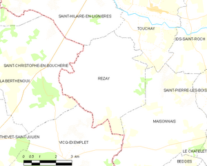
Rezay
- commune in Cher, France
- Country:
- Postal Code: 18170
- Coordinates: 46° 40' 22" N, 2° 10' 43" E
- GPS tracks (wikiloc): [Link]
- Area: 21.26 sq km
- Population: 227
- Web site: [Link]